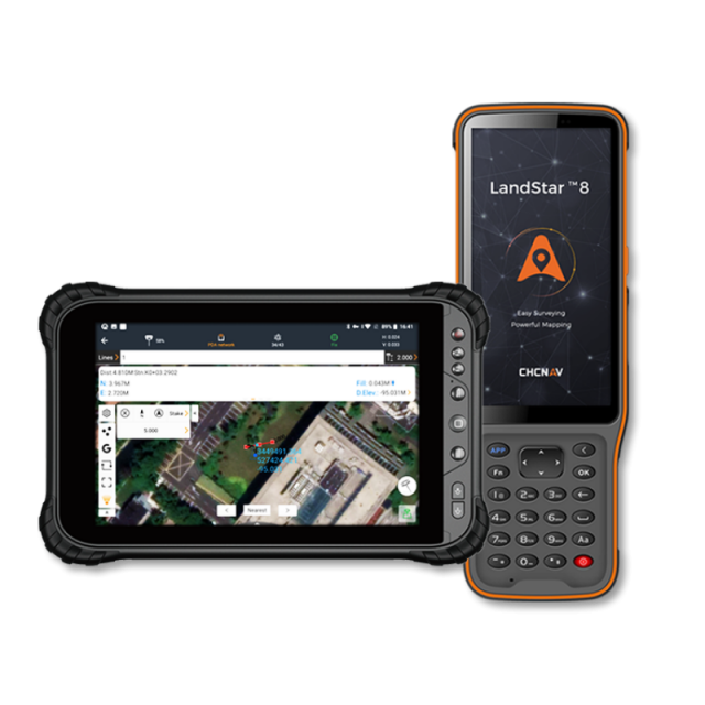


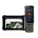


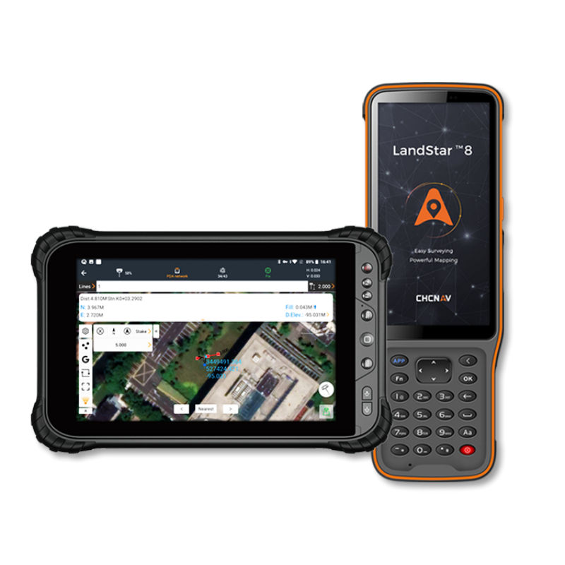


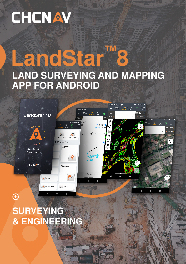
LandStar 8
Easy to Use and Feature-Rich Land Surveying & Mapping App for Android
LandStar 8 is built around easy-to-use workflow management and an intuitive graphical interface designed to help efficiently complete high-precision surveying and mapping projects. The app is versatile and integrates all surveying features for different applications, including construction surveying, control point measurement, native CAD project support, fast and accurate points, lines and surfaces stakeouts, road construction, GIS data acquisition, and more.

CHC Navigation | CHCNAV
Shanghai, CN
Description
-
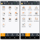
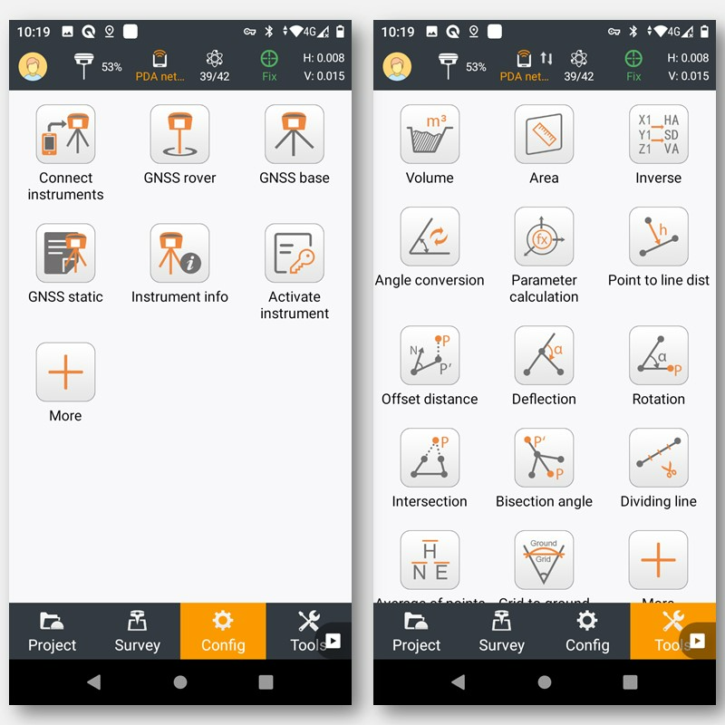
USER-FRIENDLY OPERATION
Easy to use and learn, with powerful features
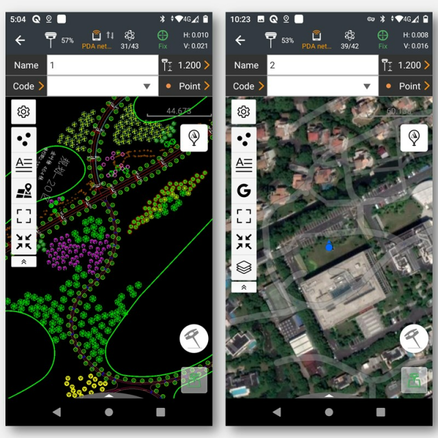
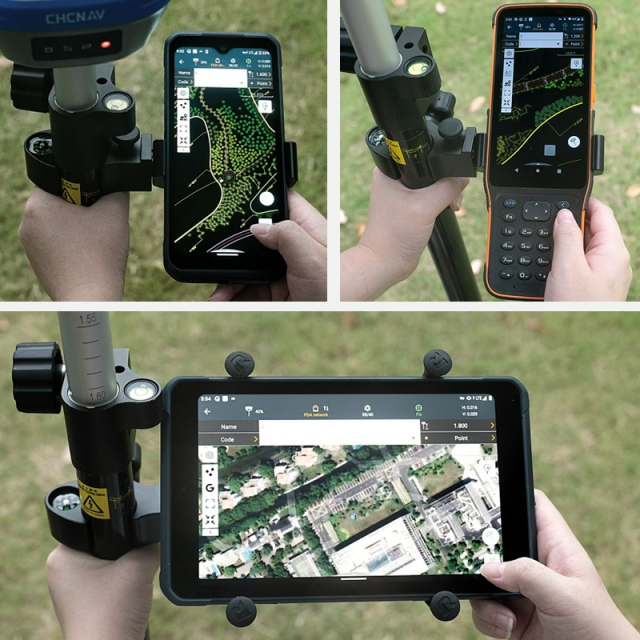
LandStar 8's simple and intuitive layout, with large map windows and sharp graphics, makes surveying and mapping easier for all users. Only relevant information is displayed, and unused functions can be hidden to make the application even more straightforward to operate. Integrated video tutorials are available to help field operators quickly master the app. Its modular design provides flexibility, and its rich feature set makes Landstar 8 an effective solution to meet the requirements of most applications.
-
START SURVEYING IN A FRACTION OF SECOND
Simplified project and coordinated system management
When creating a project, LandStar 8 makes it easy to copy coordinate settings, control, and stake-out points from another handheld controller just by scanning a QR code. Projects can be conveniently edited and sorted by history and properties, making them easy to navigate. Custom coordinate systems, geoid models, and codification libraries, ... can be dynamically updated via resource packages. LandStar 8 also features a site calibration wizard uncomplicated for non-expert users.
-
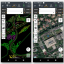
ADVANCED DISPLAY OF BASE MAPS
CAD base map rendering in seconds
LandStar 8's proprietary MetaCAD graphics engine opens DWG and DXF base maps faster, with smoother rendering and an improved user experience. DXF files up to 200 MB can be opened on CHCNAV handheld controllers in less than 10 seconds. Smart base map functions include "Quick Code" for one-click feature coding to automatically create line features to increase project productivity. LandStar 8 supports the opening of external reference files, automatically recognises CAD length units, and allows editing of CAD base maps directly in the field.
-
EXTENDED CLOUD CONNECTIVITY
Cloud integration enables efficient collaboration from field to office.
LandStar 8 is designed around an integrated cloud-based architecture, supporting project backup, collaborative work, data storage, and many other valuable features. Its remote support function helps the office helpdesk resolve user issues and provide personalised technical assistance. With the "share code" feature, users can quickly transfer project data between office computers and field controllers or between different field controllers to enhance work efficiency.
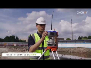
LandStar 8 is a field-proven data collection application for Android devices and CHCNAV data controllers. Its modular design allows the user interface to be customised to meet specific user needs and make deployment to field crews easy and highly efficient. The advanced graphics rendering of mapping projects in LandStar 8 provides users with an unprecedented field experience.
Do you have questions about this product?
- Questions about price, availability, and/or retailers
- Questions about technical specifications and usage
- Questions about suitability for your project or application
Specifications
-
General
-
Software version
8
Mobile (real time connected to instrument)
Y
Laptop / Office computer (post processing)
Y
Documents
Brochure
ls8-ds-en-0.pdf
1.8 MB
Other documents
-
LandStar 8 - Datasheet2.49 MB


