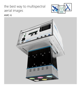
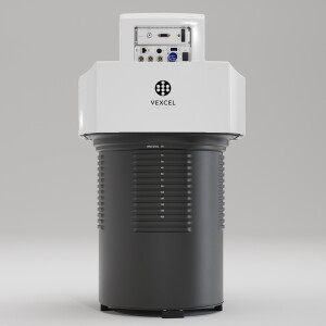
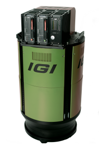
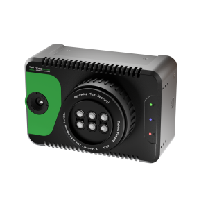
Description
Specifications
-
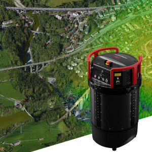
Application
-
Main applications
Aerial imaging of areas too large for Drone applications, or in restrictive environments.City modelingCadastralStock Pile MeasurementAgriculturePipelinesRight-of-way
Distinguishable features
Low cost Lease @ ~ 1500 usd per monthExtremely portableMassive Scale PotentialLow operating cost
-
Uncertainty
-
Precision [pixels]
0.25
Geometric calibration
Y
Radiometric calibration
Y
-
Data storage
-
Type of storage
SSD
Storage capacity [GB]
128GB - 1TB
Storage Replaceable
N
-
Sensor Characteristics
-
Number of lenses
2
Lenses: focal lengths [mm]
40
Lenses: interchangeable
N
Type CCD
APS-C
Pixel size [µm]
4.3
Megapixels
18
Dynamic range [bits]
14
CCD RGB
Y
Charged Coupled Device (CCD) IR
Y
CCD simultaneous
Y
CCD along track format [mm x mm]
14.9
CCD along track format [pixel x pixel]
3456
CCD across track format [mm x mm]
22.3
CCD across track format [pixel x pixel]
10,200 total
Max. integration time [s]
2
Max. shutter speed [s]
0.00025
Data collection rate [megapixel/s]
23
Max. across-track FOV [deg]
59
-
Operation Characteristics
-
Helicopter
Y
Fixed-wing
Y
Min. flying height [m]
600
Typical flying height [m]
1200
Max flying height[m]
6000
Max. acquisition duration [h]
5
Warm-up time [s]
600
In flight pre-view
Y
Temperature controlled pod
N
-
Software
-
On board image storage format(s)
.jpg
Type of mission planning software
WaldoAir Flight Control System (Waldo FCS)
Type of postprocessing software
Processing Platform Agnostic
-
General
-
Year of introduction
2013
Last update
2016
-
Hardware
-
Camera unit Weight [kg]
2.7
Camera unit Length [m]
0.284
Camera unit Width [m]
0.147
Camera unit Depth [m]
0.147
Power requirements
Self Contained 12V LiPo
Type of GNSS/ INS positioning system
MEMS