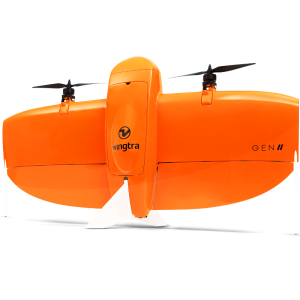
Wingtra LIDAR
Efficient, reliable and easy-to-use LIDAR drone system
Wingtra's LIDAR technology elevates aerial surveying to unprecedented levels. Discover unparalleled effectiveness combined with ease of use and dependability, empowering you to secure more projects and enhance the quality of construction designs.
Wingtra
Zurich, CH
Description
Maximize efficiency
Cover up to 360 hectares (890 acres) rapidly from a height of 90 meters (295 feet).
Enjoy hassle-free operation with no calibration required and a speedy one-minute setup.
Benefit from efficient post-processing through the Wingtra LIDAR application, ensuring quicker data delivery.
Streamline your operations
Facilitate seamless data gathering and analysis for users of any skill level
Easily transition to photogrammetry with our user-friendly GEN II plug-and-play system
Achieve versatile deployment with our VTOL (Vertical Take-Off and Landing) feature, allowing for launches and recoveries in diverse environments
Achieve precise and dependable data analysis

Confidence in accurate results from the outset
Base your designs on high-precision data to eliminate expensive revisions
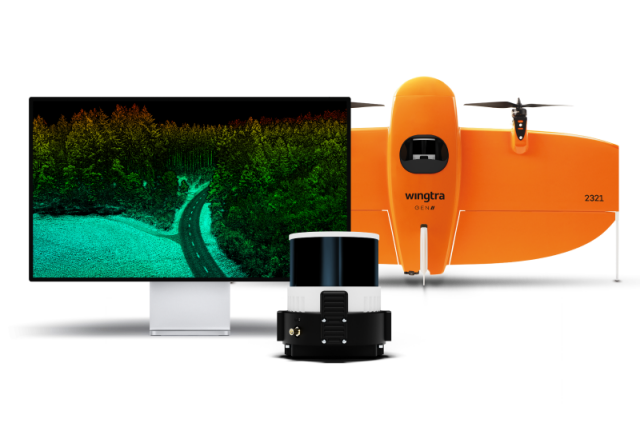
Utilize the top-tier Hesai sensor and Inertial Labs IMU LIDAR kit for unparalleled accuracy
Wingtra LIDAR Application: Simplified Creation of Terrain Models

Transforming data into terrain models: A complete package—from gathering data to creating digital terrain models.
Effortless integration with WingtraOne: Seamlessly works with the WingtraOne GEN II drone for an efficient process.
Built for unmatched simplicity: Features an easy-to-navigate interface that makes LIDAR data handling accessible to users of all skill levels.
Specifications
-
Application
-
Distinguishable features
Easy-to-use, no calibration needed, reliable results, great strip alignements
Main applications
Greenfield surveys, Terrain mapping under vegetation
-
Physical Properties
-
Weight [kg]
1.030
-
Positioning System
-
Type of GNSS positioning sensors
NovAtel OEM7500
Type of INS or IMU
Inertial Labs Tactical-Grade IMU-P
Typical positioning accuracy [cm]
0.5
-
Data and Software
-
Included software
Wingtra LIDAR app
-
General
-
Year of introduction
2024
Year of last update
2024
Related products


