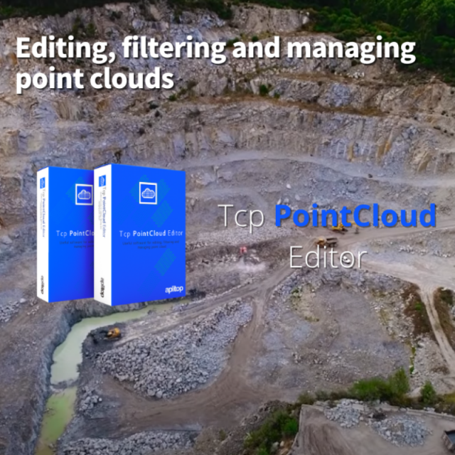
Tcp PointCloud Editor
Management of point clouds for surveying projects
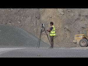
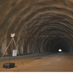
Standalone application that allows to display, edit and analyze clouds of millions of points captured by fixed or mobile scanners, LiDAR or generated by photogrammetry application. You can also generate and analyze surfaces and grids, calculate profiles and volumes, draw with a simple CAD on the point cloud, etc. It offers multiple options for importing and exporting formats such as LandXML, DWG, 3D PDF, etc. The projects can be published in the cloud and be inspected by a web viewer.
APLITOP
Málaga, ES
Description
Points management
You can import point clouds in the most common formats on the market. Points can have attributes of color, intensity, time, and category, and be represented based on these properties. You can apply displacements, rotations, or transformations to clouds, as well as register them using control points.
Filtering and editing
The application has tools for graphical selection of points by window, polyline, sphere… Selection by attributes such as color, intensity or category, make it possible to select a point and delete those that have similar properties. Geometric selection allows you to filter points by density, insulation, model, etc. The terrain filter helps determine the points that belong to the terrain.
The editing commands are applied to the selections of points, being able to delete, change in category, hide, extract them to a separate window, etc.
Digital model
With the point cloud you can create a surface or mesh and generate the contour lines. The symbology of models can be based on their elevations, slopes, orientations, shading or orthophotos. Meshes can be edited interactively or apply smoothing, peak removal, etc. You can also import and export surfaces and meshes.
Profiles and volumes
The application has tools to import alignments in LandXML formats and calculate a quick profile from the point clouds or the model. It is also possible to obtain a longitudinal profile and cross-sections along an alignment. Top view sections are especially useful for BIM building projects.
Volumes of stockpiles defined by a polyline or layer can be quickly calculated, as well as surfaces and cut and fill volumes between models.
Utilities
The application includes a simple CAD that allows you to draw on different layers, using as references the point cloud and other objects, and you can also import and export DXF and DWG files. Points, models, alignments and drawings can be exported to 3D PDF and video, having previously defined the route.
Specifications
-
Hardware/software requirements
-
RAM [GB]
16
Use of GPU
Y
Processor
Intel i5 or higher
Stand-alone
Yes
-
Other
-
Support
Training
Y
Typical applications
Generate a clean DTM from photogrammetry point clouds, calculate volumes, get profiles and cross-sections and many more
Distinguishing features
Designed for surveyors
-
Files and Registering
-
Input formats
Text (TXT/XYZ), ARC/INFO (ASC), ASTM E57 (E57), FARO (FLS/FWS), LEICA (PTS/PTX/XCF), LIDAR (LAS/LAZ), MDT (MLL/MDE/PUN), Point Cloud Data (PCD), Polygon File Format (PLY), RECAP (RCS/RCP), RIEGL (RDBX), TOPCON (CL3/CLR)
Output formats
Text (TXT/XYZ), ASTM E57 (E57), LEICA (PTS), LIDAR (LAS/LAZ), MDT (PUN), Polygon File Format (PLY), RECAP (RCS), PDF 3D (PDF)
Geo-referencing
Y
Automatic Target Detection
N
Stitching multiple scans
Y
-
Pre-processing and Automatic Filtering
-
Removal of individual outliers
Y
Removal of vegetation
Y
Bare ground DEM generation
Y
-
Manual Measurements
-
3D Coordinates extraction
Y
Length and Height
Y
Angle
N
Distance
Y
Area
Y
Volume
Y
-
Interoperability
-
CAD software
Import and export DXF and DWG
Assigning colour from imagery to points
Y
Image overlay on TIN
Y
-
General
-
Year of initial introduction
2021
Year of last update
2022
Source of Point Clouds
Airborne Lidar, Indoor TLS, Outdoor TLS, Photogrammetric
Supported Systems
Windows 10 (64 bits)
-
Analysis
-
Aspect and slope
Y
-
Automatically Generated Products
-
Regular Grid DEMs
Y
Cross sections
Y
TIN
Y
Contour Lines
Y
Break lines
N
-
Visualisation and Editing
-
Zoom, pan and rotate
Y
Fly-throughs
Y
Adding Points
Y
Removing Points
Y
Point Reduction
Y


