


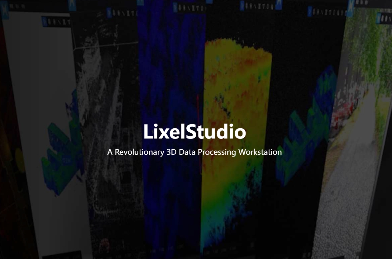
LixelStudio Point Cloud Processing Software
A Revolutionary 3D Data Processing Workstation
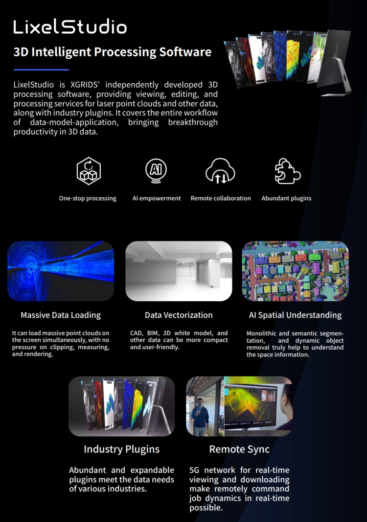
LixelStudio is XGRIDS' independently developed 3D processing software, providing viewing, editing, and processing services for laser point clouds and other data, along with industry plugins. It covers the entire workflow of data-model-application, bringing breakthrough productivity in 3D data.
Description
LixelStudio is a 3D processing software independently developed by XGRIDS. It provides services for viewing, editing, and processing laser point clouds, along with industry-specific plugins. It covers the entire workflow of data-model-application, bringing breakthrough productivity in 3D data.
1. Real-Time Viewing of True-Color Point Clouds
Remote viewing of true-color point clouds, enabling massive data visualization and eliminating missed captures and rework.
2. Automatic Point Cloud Stitching and Calculation
Fully automated point cloud merging, with support for point cloud measurement, clipping, and cross-section functions.
3. Entity-Based Vectorization Processing
Semantic classification of models, data vectorization processing, doubling internal operational efficiency.
4. Cloud Data Storage Management
Powerful cloud computing resources and ample storage space for efficient digital asset management.
5. Rich Application Plugin Expansion
More industry-specific and general-purpose plugins for flexible usage choices.
Do you have questions about this product?
- Questions about price, availability, and/or retailers
- Questions about technical specifications and usage
- Questions about suitability for your project or application
Specifications
-
Other
-
Distinguishing features
Dynamic objects removal, mesh model output, image-point cloud comparison
Typical applications
Scan to BIM, digital twins, CAD drawing
-
Files and Registering
-
Output formats
.las, .obg, .osgb, .3dtiles
-
Pre-processing and Automatic Filtering
-
Removal of individual outliers
Y
-
Manual Measurements
-
3D Coordinates extraction
Y
Angle
Y
Area
Y
Distance
Y
Length and Height
Y
Volume
Y
-
Interoperability
-
CAD software
AutoCAD
Assigning colour from imagery to points
Y
-
General
-
Source of Point Clouds
Airborne Lidar, Indoor TLS, Outdoor TLS, Radar
Year of initial introduction
2022
Year of last update
2024
-
Visualisation and Editing
-
Zoom, pan and rotate
Y
Adding Points
Y
Removing Points
Y

