SmartProcessing Lidar
Your point clouds, at their best!
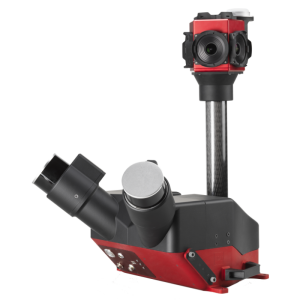
A keystone of the easy-to-use philosophy of Scanfly, SmartProcessing Lidar features the 3D Target’s proprietary direct geo-referencing engine to empower the extraction of accurate point clouds from the best estimate of the trajectory and the synchronized Lidar data.

3D TARGET
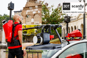
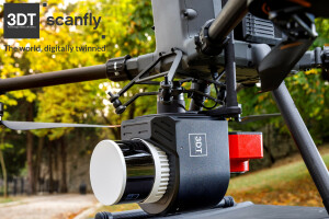
Castenedolo, IT
Description
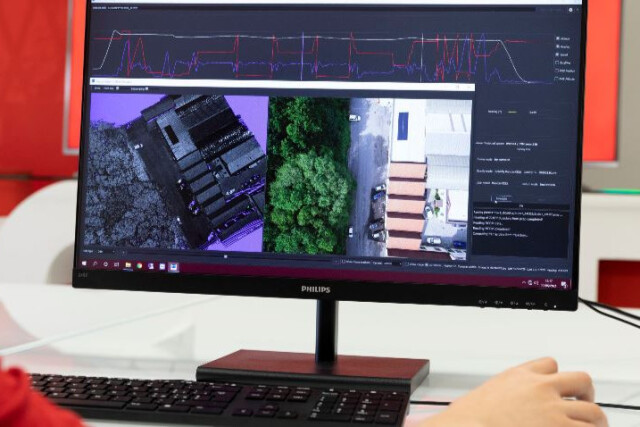
From the definition of the lines to be extracted to the export settings, the procedure requires just a few clicks, Quality check diagrams, 2D map overlays and a full 3D window are available to help the user in the process.
Intuitive tools are available to calibrate the sensors’ boresight parameters and to filter, optimize, and colorize the point clouds.
SmartProcessing Lidar runs under Windows OS and is necessary to post-process the data surveyed with Scanfly and selected third-party Lidar payloads.
The license is provided in the form of an activation file with detachable network seats.
The Core includes the basic functionalities; additional tools are available optionally.
With SmartProcessing Lidar, your point clouds will always be at their best, ready to be exported in your preferred third-party software for further analysis.
Do you have questions about this product?
- Questions about price, availability, and/or retailers
- Questions about technical specifications and usage
- Questions about suitability for your project or application
Videos

