


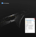


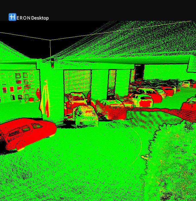
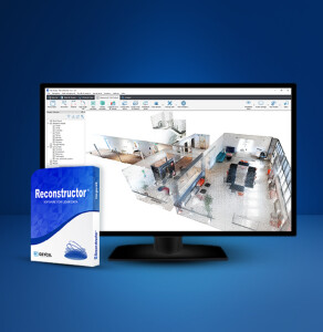
HERON Desktop
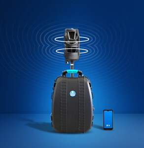
Cutting-edge SLAM algorithms for exceptional results with HERON portable 3D mapping systems
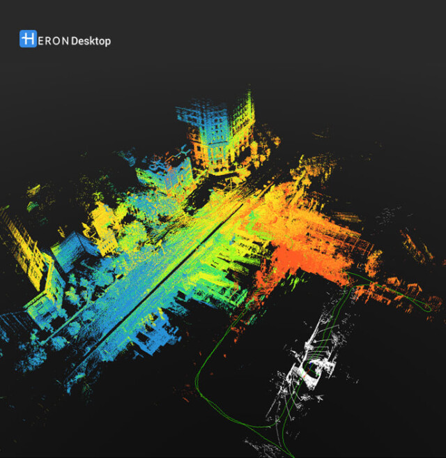
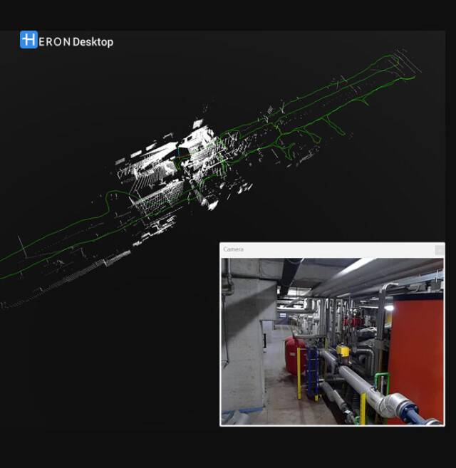
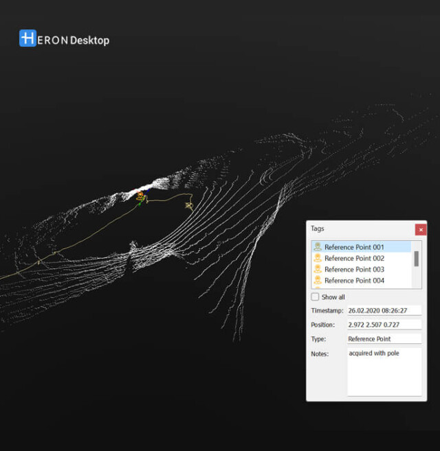
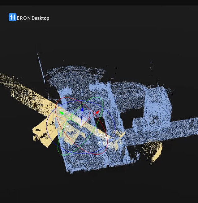
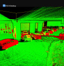
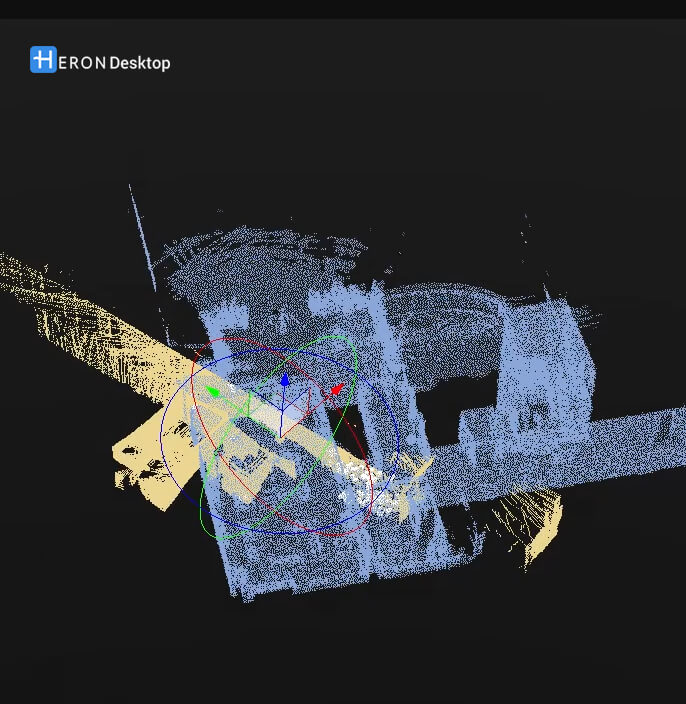
HERON Desktop is the software to extract 3D point cloud models from HERON acquisitions. It contains patented SLAM algorithms; time bar to organise your processing as desired; filter of moving objects, and more. Advanced mode for the total control of SLAM algorithms’ parameters. Use of control points and control scans as constraints. HERON Desktop provides an unparalleled solution for professionals seeking precision, control, and efficiency in their 3D modeling projects.

GEXCEL
Brescia, IT
Description
Patented algorithms for high-level results
HERON Desktop boasts patented algorithms that set it apart, guaranteeing advanced data processing capabilities and delivering exceptional results for your analyses.
Local installation on a proprietary device
Ensure the security and privacy of your data with HERON Desktop's local installation feature on your proprietary device. Have control over your data processing environment without compromising on performance.
Full control over data processing at no extra fees
Say goodbye to extra fees: with HERON Desktop, there are no limits on data processing, allowing you to handle large datasets effortlessly and without limits.
Access to all SLAM parameters
Tailor your analyses to perfection with unrestricted access to all processing parameters. HERON Desktop empowers you to fine-tune every aspect of your data processing for optimal outcomes.
Presets for specific workflows
Streamline your work processes with predefined presets tailored to specific workflows. Save time and enhance efficiency by utilizing these presets for common analysis scenarios.
Comprehensive software equipment
HERON Desktop comes bundled with any HERON system along with other software tools to provide you with everything you need for a streamlined, full and efficient data processing experience.
Automatic mode for speeding up processing
HERON Desktop is designed to be user-friendly, featuring an automatic mode also for entry-level users. Get started quickly and effortlessly, letting the software handle complex processes with ease.
Extra output extraction
HERON users can benefit from a complete software suite that includes HERON Desktop and Reconstructor. This integration allows them to get various outputs such as areas, volumes, cross sections, DTMs, manual measurements, solid modelling and more. It also allows point clouds to be imported into HERON Desktop in multiple formats, including proprietary ones, which are very useful as model constraints.
Do you have questions about this product?
- Questions about price, availability, and/or retailers
- Questions about technical specifications and usage
- Questions about suitability for your project or application
Specifications
-
Hardware/software requirements
-
HD [GB]
4
List software environment, e.g. Microstation
-
Processor
AMD Ryzen 7/Ryzen 9 or Intel Core i7/ Core i9/Xeon or equivalent, 4 or more physical cores, on a single CPU socket
RAM [GB]
32
Stand-alone
No
Stereo Display
N
Use of GPU
Y
-
Other
-
Distinguishing features
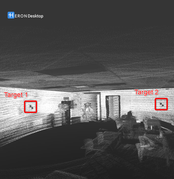
Advanced mode to customize SLAM parameters in a patented algorithm, GNSS coordinates or scans used as constraints, split/merge trajectories and point clouds, automatic post-processing mode, noise cleaning (attenuation), mobile objects removing
Support
Yes, Phone, Email, Live
Training
Y
Typical applications
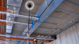
Underground mines, BIM & Construction, Digital Twins& Virtual Tours, Stockpiles volumes, Industrial plants, Gardens, Cultural Heritage, Trails & Tourist routes
-
Files and Registering
-
Input formats
HERON raw data
Output formats
Point clouds including trajectories, GCP, panoramic cameras
Geo-referencing
Y
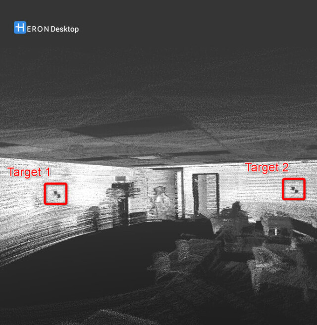
Automatic Target Detection
N
Stitching multiple scans
Y
-
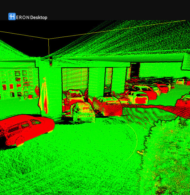
Pre-processing and Automatic Filtering
-
Bare ground DEM generation
N
Frequency domain decoding for data reduction
-
Image matching facilities
N
Removal of buildings
N
Removal of individual outliers
Y
Removal of vegetation
N
-
Manual Measurements
-
3D Coordinates extraction
Y
Angle
N
Area
N
Distance
N
Length and Height
N
Volume
N
-
Interoperability
-
CAD software
No
Hydrological software
No
Assigning colour from imagery to points
Y
Image overlay on TIN
N
Integration with other data types
3D coordinates from GNSS or Total Station instruments
-
General
-
Modules
Core, Constraints, Tracking
Supported Systems
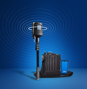
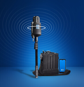
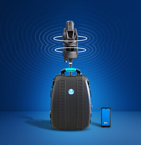
HERON SLAM systems
Year of initial introduction
2017
Year of last update
2024
-
Analysis
-
Aspect and slope
N
Individual tree heights
N
Line of sight
N
Simulation facilities
No
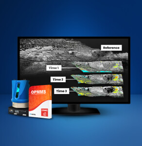
Time series analysis
Y
-
Automatically Generated Products
-
3D City modelling
-
Boundary detection of solids
N
Building roofs
N
Break lines
N
Building footprints
N
Contour Lines
N
Cross sections
N
Regular Grid DEMs
N
TIN
N
-
Solid Modelling
-
Cylinders
N
Cubes
N
Earth surface features
-
Industrial features
-
Lines
N
NURBS
N
Planes
N
Spheres
N
-
Visualisation and Editing
-
Zoom, pan and rotate
Y
Fly-throughs
Y
Adding Points
Y
Removing Points
Y
Point Reduction
Y


