SpatialExplorer
Full Workflow Lidar Software Suite
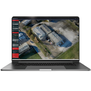
SpatialExplorer is Phoenix LiDAR's expandable desktop software suite that provides a complete workflow, from data acquisition to final product creation. This software contains powerful, yet easy to use, tools that bundle a professional data production process into a confidence inspiring workflow. It is vehicle flexible, acquiring and processing data from any type of vehicle, including merging and calibrating different dataset types.

Phoenix LiDAR Systems
Austin, US
Description
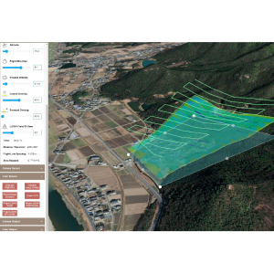
SpatialExplorer gives professional users the tools they need at each stage of lidar production.
- During acquisiton the operator is in full control of system sensors, recieving navigation telemetry and real-time data as feedback to ensure sucess.
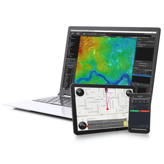
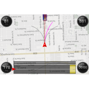
- MissionGuidance provides a simple and effective method for pilots to stay exactly on course and for the operator to monitor and schedule flight line collection.
- In the office you will have full control over a robust post-processing methodology: Industy leading sensor (LiDAR and Camera) calibration and trajectory optimization, plus classfication routines, smoothing, decimating, and various tools are available for achieving the utmost accuracy.
- Analytic tools, like ground modeling, change detection, and vegetation encroachment help create final deliverables.
- Automated and customizable accuracy and quality control reports available for production staff and end users.
SpatialExplorer can also process data from 3rd party (non-Phoenix LiDAR) systems, utilizing the advaced calibration, classification and other post-processing tools!
Do you have questions about this product?
- Questions about price, availability, and/or retailers
- Questions about technical specifications and usage
- Questions about suitability for your project or application
Specifications
-
Hardware/software requirements
-
Stereo Display
N
Stand-alone
Yes
List software environment, e.g. Microstation
Stand-alone
-
Other
-
Support
Support desk, and detailed documentation
Training
Y
Typical applications
Utility mapping, Land Development, Mining, and many others
Distinguishing features
Acquisition, Vehicle Guidance, Calibration, Classification, QC and Automated Reporting
-
Files and Registering
-
Input formats
Phoenix LiDAR raw data, plus .las, .laz, .cls, .cts, .fls, .fts, .cl, .ct, .rls, .rts, .fl, .ft, .rl, .rt, .pof, .poq, .out, .tif ...
Output formats
.las, .laz. .shp, .obj, .tif, .html...
Geo-referencing
Y
Automatic Target Detection
Y
Stitching multiple scans
Y
-
Pre-processing and Automatic Filtering
-
Image matching facilities
Y
Removal of individual outliers
Y
Removal of vegetation
Y
Removal of buildings
Y
Bare ground DEM generation
Y
-
Manual Measurements
-
3D Coordinates extraction
Y
Length and Height
Y
Angle
N
Distance
Y
Area
N
Volume
N
-
Interoperability
-
Assigning colour from imagery to points
Y
-
General
-
Source of Point Clouds
Airborne Lidar, Indoor TLS, Outdoor TLS, Photogrammetric
Year of initial introduction
2016
Year of last update
2022
Modules
SpatialPro, MissionGuidance, NavLab
Supported Systems
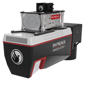
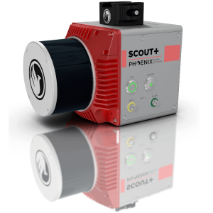
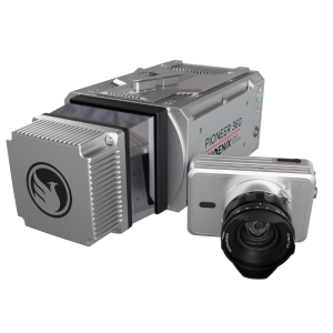
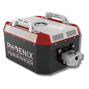
Any Phoenix LiDAR System, and many others
-
Automatically Generated Products
-
Regular Grid DEMs
Y
Cross sections
Y
TIN
Y
Contour Lines
Y
Break lines
N
Boundary detection of solids
N
Building footprints
N
Building roofs
N
-
Solid Modelling
-
Earth surface features
Ground Modeling
-
Visualisation and Editing
-
Zoom, pan and rotate
Y
Fly-throughs
N
Adding Points
N
Removing Points
Y
Point Reduction
Y
