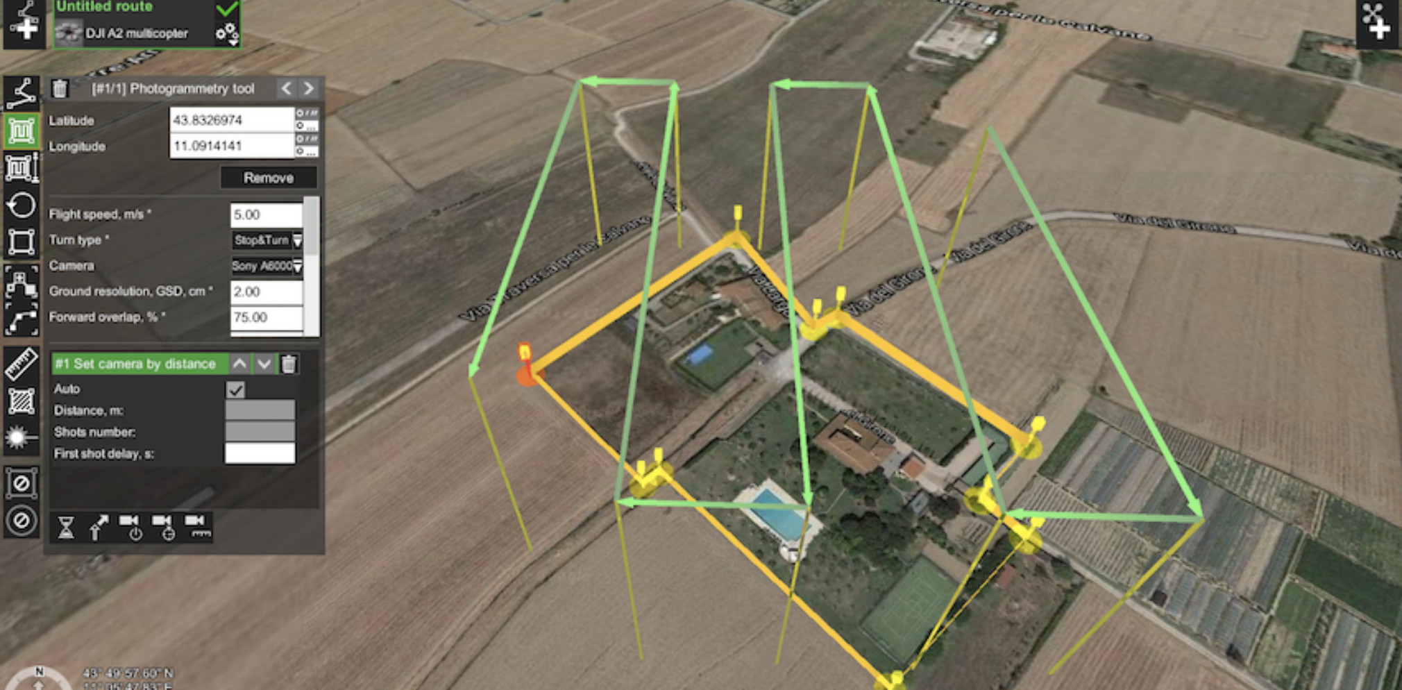
 Promoted
Photogrammetric Imagery Processing Software
Photogrammetry is the process of using overlapping aerial images to extract exact ground positions. With Photogrammetric Imagery Processing Software this process is automated and delivers a variety of products such as maps, orthophotos, point clouds and three-dimensional models.
Filters
Manufacturer type
Manufacturers
Feature Extraction and Mapping
Mapping facilities
Semi-automatic corner point extraction
Semi-automatic line feature extraction
Semi-automatic building extraction
3D superimposition
Integration with scanned maps
Integration with 2D vector maps
Integration with 3D vector maps
Integration with point clouds
Required Computer System
System includes hardware
Min. RAM memory [Mb]
Preferred RAM memory [Mb]
64-bit version of software available
Distributed processing capacity
GPU based calculations
Min. data storage capacity [Gb]
Preferred data storage capacity [Gb]
Images and data
Scanned analogue Aerial Photos
Digital Aerial Nadir Frames
Oblique Images
Linear array sensors
Optical Satellite Images
UAS Images
Radar Images
DEMs & Orthoimages
Automatic breakline extraction
Checking facilities (DEM editing)
Automatic contour generation
Mosaicing of orthoimages
True orthoimage generation
Dense DSM creating capability
DSM to DTM filtering
Automatic seam line creation
Dense Image Matching
Viewing System
Min. display memory [Mb]
Pref. display memory [Mb]
General
Year of introduction
Year of last update
Orientation and triangulation
Automatic interior
Relative
Automatic aerotriangulation
Automated blunder detection
Self calibration
images simultaneously processed
Measurement tools
lengte / area / volume
Length
Area
Volume
Image manipulation & processing
Automatic contrast manipulations
Spatial convolution
Resampling
Radiometric adjustment for mosaicing
Showing 1-14 of 14 results
 Promoted
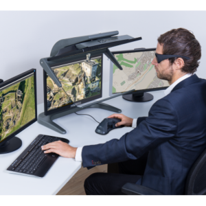
3D Pluraview
![Correlator3D_Photogrammetry_Software[1].png](https://cdn.geo-matching.com/voawvkmn.png?w=300&h=300&crop=1&s=5be635bfd45955e69d36230f0f05598f)
Correlator3D
![ELCOVISION-10[1].jpg](https://cdn.geo-matching.com/wRWm7Gyp.jpg?w=300&h=300&crop=1&s=d9595e4eab382ce38f888d623cb550d7)
ELCOVISION 10
Cube-3d
Leica XPro - Post Processing Software
Leica HxMap
3Dsurvey Software
UltraMap
![Streampix-8[1].jpg](https://cdn.geo-matching.com/Vo1zXJ5R.jpg?w=300&h=300&crop=1&s=da12dc5361b5395de101ff7b79c48b94)
Streampix 8 DVR capture software
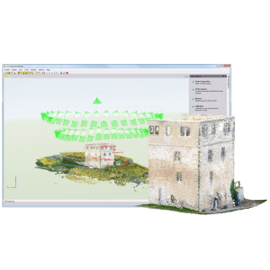
UASMaster
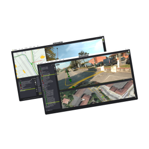
imajview® 5

3DBIA | Drone-based Bridge inspection
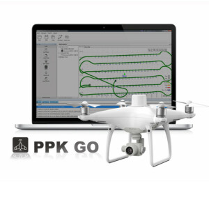
PPK Go Software for Phantom 4 RTK
Need some help? Ask a Geo-matching expert!
Our team and network of 1000+ manufacturers and developers is here to assist you.

