


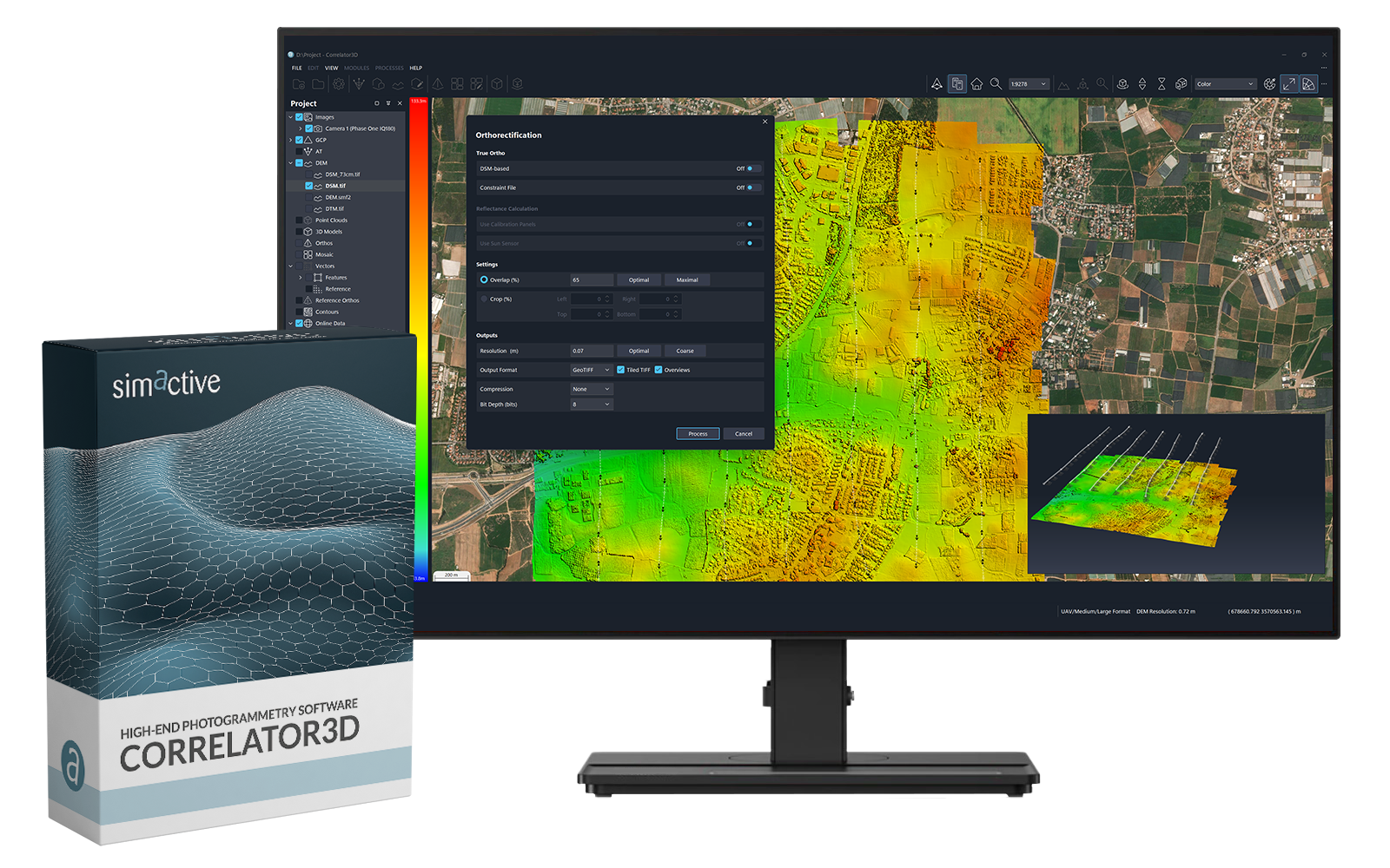
Correlator3D
High-End Photogrammetry Software
Perform photogrammetry at faster speeds and with higher accuracies.

SimActive
Montreal, CA
Description
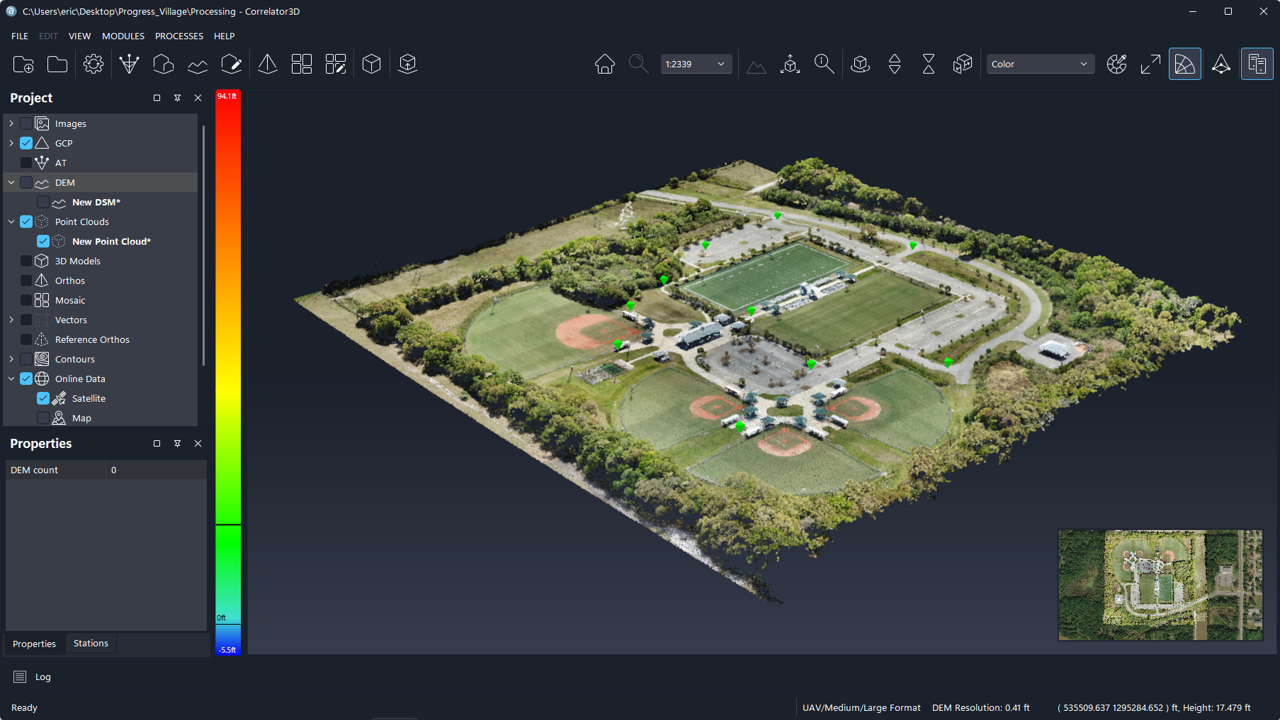
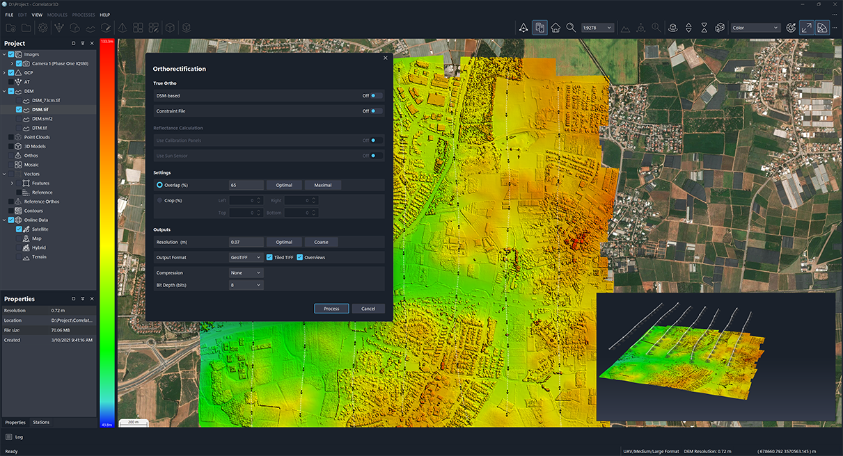
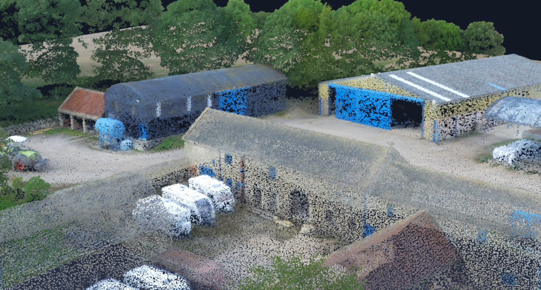
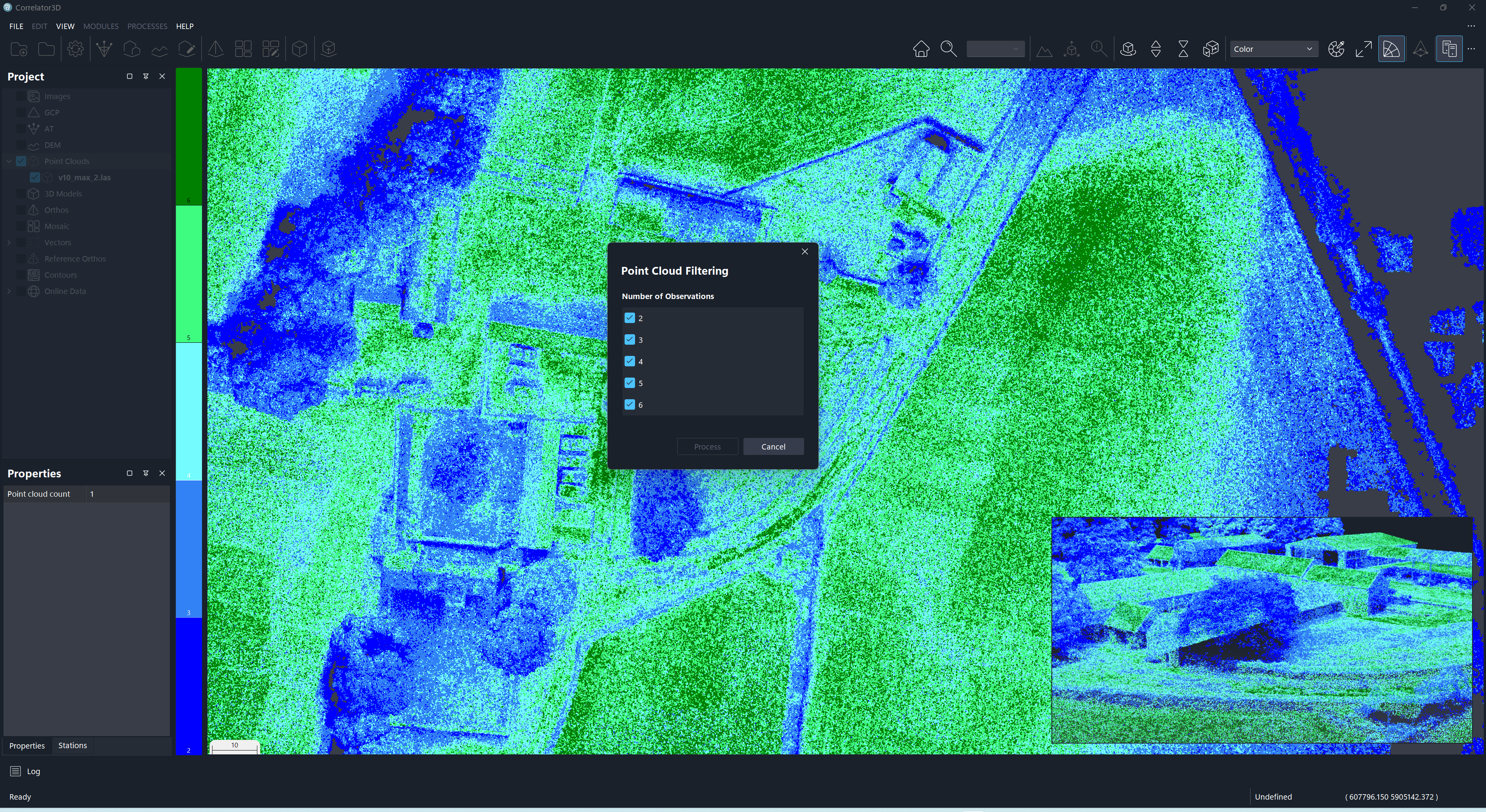
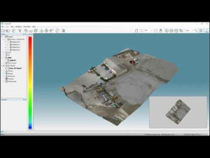
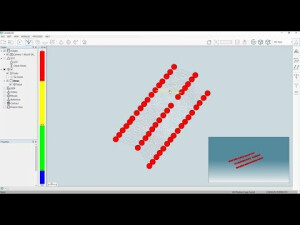
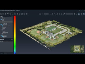
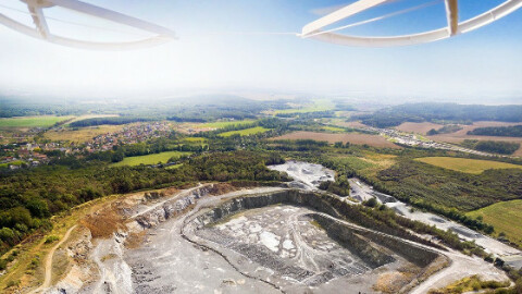
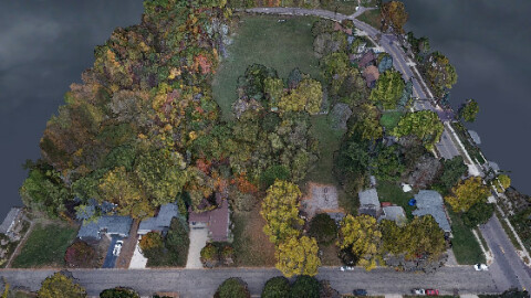
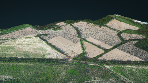
SimActive’s Correlator3D software is a patented end-to-end photogrammetry solution for the generation of high-quality geospatial data from satellite and aerial imagery, including UAVs. Correlator3D performs aerial triangulation (AT) and produces dense digital surface models (DSM), digital terrain models (DTM), orthomosaics, 3D models and vectorized 3D features. Powered by GPU technology and multi-core CPUs, Correlator3D ensures matchless processing power to support rapid production of large datasets.
Do you have questions about this product?
- Questions about price, availability, and/or retailers
- Questions about technical specifications and usage
- Questions about suitability for your project or application
Documents
Brochure
Leaflet_2023 (1).pdf
1.67 MB

Videos
Related products

Articles


