
Mobile Mappers
Mobile mappers are devices that collect geospatial data from a mobile vehicle, typically fitted with a range of photographic, radar, laser, LiDAR or any number of remote sensing systems. Such systems are composed of an integrated array of time synchronised navigation sensors and imaging sensors mounted on a mobile platform. The primary output from such systems includes GIS data, digital maps, and georeferenced images and video. Also see Portable and Indoor Mobile Mapping Systems.
Showing 1-15 of 27 results
Scanfly DUO Mobile Mapping System

Trimble MX90
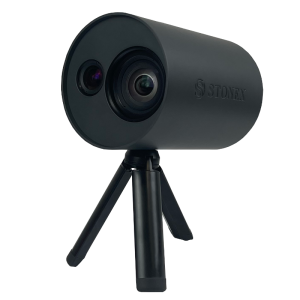
XVS vSLAM 3D Scanner

Trimble Indoor Mobile Mapping Solution (TIMMS)
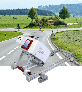
VMY-1
Trimble MX50
LiMobile
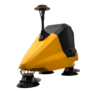
Paved Surface Capture
VMY-2
Fly&Drive
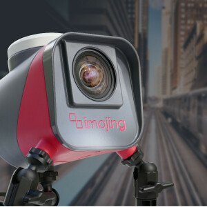
imajbox 3 TX+
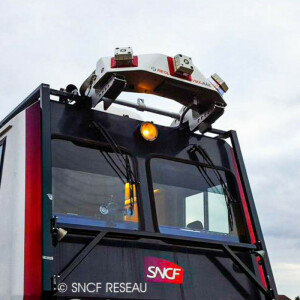
VMX-RAIL
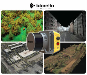
Lidaretto - Multiplatform Mapping System
ALPHA3D
Need some help? Ask a Geo-matching expert!
Our team and network of 1000+ manufacturers and developers is here to assist you.