

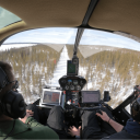

Paved Surface Capture
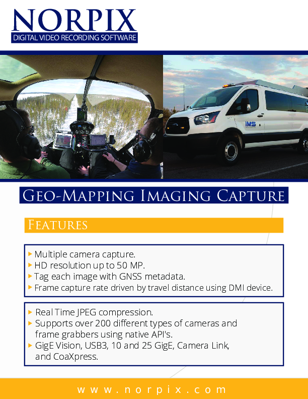
Geo-Mapping Imaging Capture
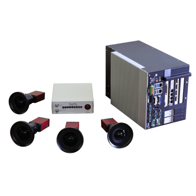
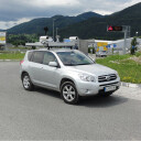
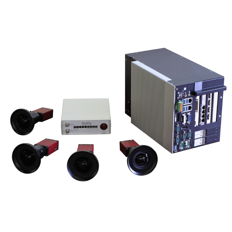
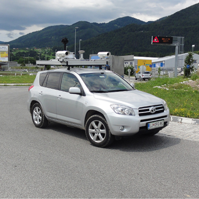
With StreamPix you can mix and match capture from multiple cameras at different speeds and resolutions. Paved Surface Capture allows you to Capture from multiple cameras simultaneously. Georeference images from NMEA compatible GPS in a high resolution and high frame rate while the image capture rate is synchronized with the vehicle speed using the DMI device.

NorPix, Inc
Montreal, CA
Description
FEATURES
- Capture from multiple cameras simultaneously.
- High resolution and high frame rate.
- Georeference images from NMEA compatible GPS.
- Sync image acquisition with DMI output rate.
- Image capture rate is synchronized with vehicle speed.
- Adjust capture rate as a sub-multiple of the DMI output rate.
- Uncompressed high-quality video for post-processing.
- Supports over 200 different brands of cameras and frame grabbers.
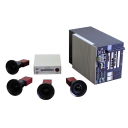
- Compact fanless recording stations for robust applications.
APPLICATIONS
- Paved surface inspection.
- Railways.
- Pipelines inspection.
- Power transmission and distribution.
- Roadway asset management.
- Roadside feature inventory.
Do you have questions about this product?
- Questions about price, availability, and/or retailers
- Questions about technical specifications and usage
- Questions about suitability for your project or application
Specifications
-
General
-
Application
Documents
Brochure
georeferencing-capture-v11.pdf
3.65 MB
![Streampix-8[1].jpg](https://cdn.geo-matching.com/Vo1zXJ5R.jpg?w=300&h=300&crop=1&s=da12dc5361b5395de101ff7b79c48b94)
