


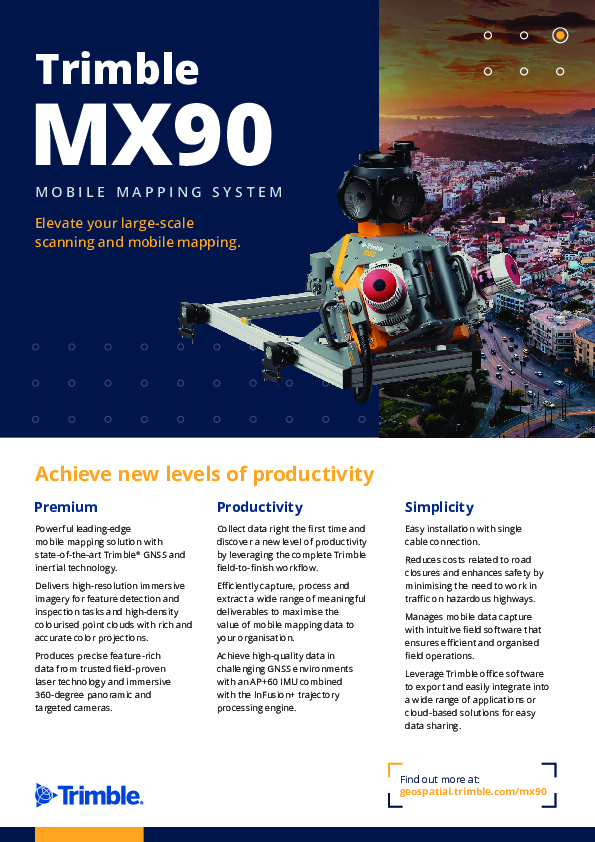
Trimble MX90
For Large-Scale Scanning and Mapping Missions
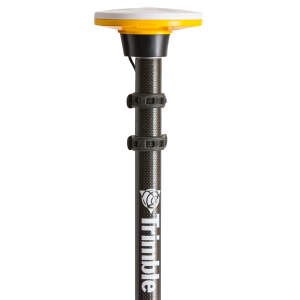
Trimble MX90 is a complete field-to-finish mobile mapping solution that combines leading-edge hardware with intuitive field software and integrated office software workflow.

Trimble, Inc.
Westminster, US
Description
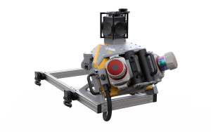
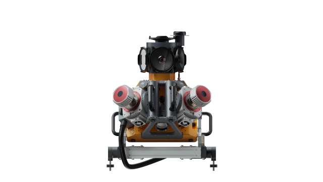
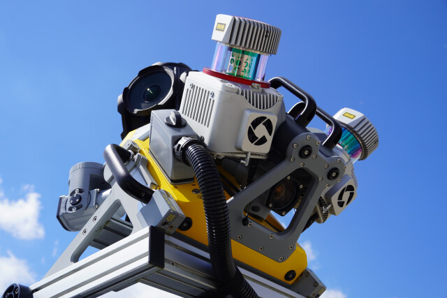
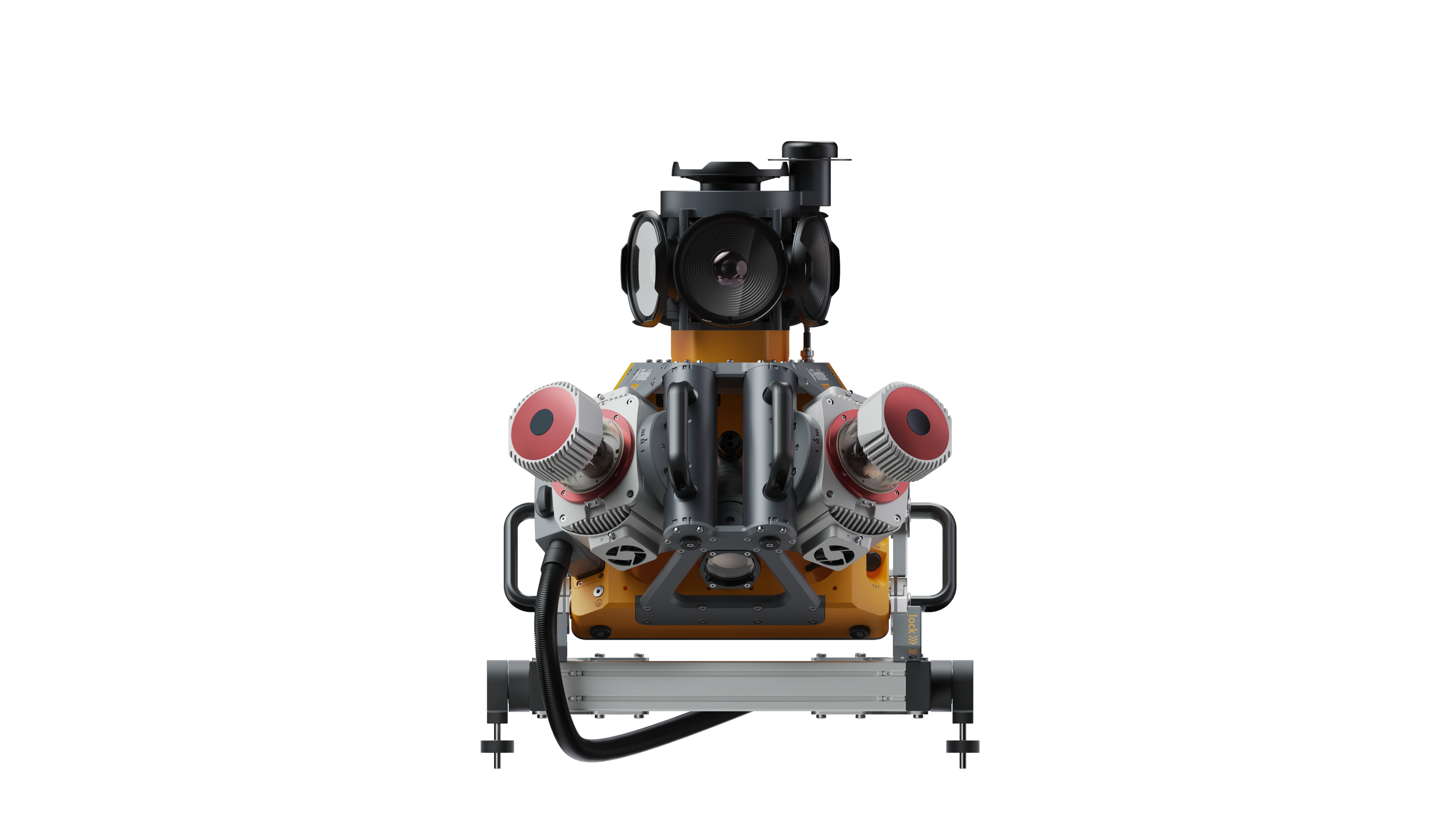
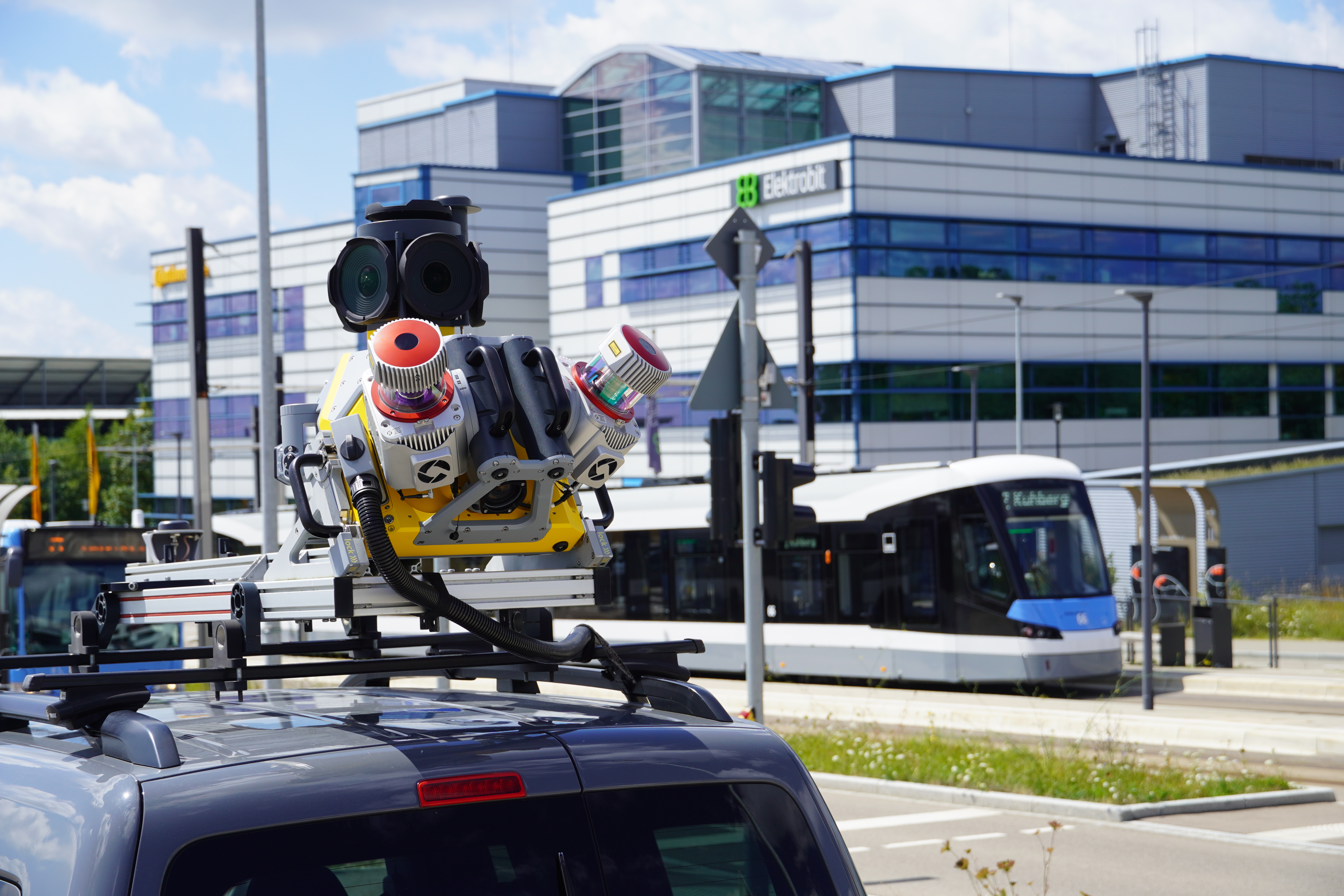
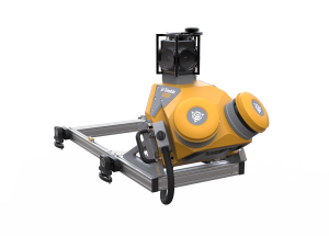
The Trimble® MX90 is a complete field-to-finish mobile mapping solution that combines leading-edge hardware with intuitive field software and a powerful, integrated office software workflow. It combines long-range LiDAR, high resolution spherical and planar imagery along with best in class inertial sensors, providing the ultimate in mobile mapping performance.
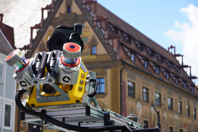
Rich, immersive data can be captured at highway speeds; eliminating the need for expensive road closures and the risk associated with employees working along busy highways. This high-performance mobile mapping system produces a detailed point cloud, with measurement ranges over 150 meters, 360° imagery up to 72 megapixels, in typical working conditions.
The Trimble MX90 is ideal for undertaking data capture for large survey and engineering projects.
Do you have questions about this product?
- Questions about price, availability, and/or retailers
- Questions about technical specifications and usage
- Questions about suitability for your project or application
Specifications
-
General
-
Application
Outdoor
Year of initial introduction
2024
-
Positioning
-
GNSS receiver: Brand and model
Calian
Ground control point integration supported
Y
IMU: Brand and model
Trimble AP+60
IMU update rate [kHz]
200
Number of antennas
1
Number of wheel sensors
1
Wheel sensor: Brand and model
Applanix DMI
-
Lidar Sensor
-
Brand
Trimble
Export formats
rip
Laser safety classification
Class 1
Max Range [m]
475
Max. measurement rate [kHz]
3600
Max. vertical field of view [deg]
360
Min. Range [m]
1.2
Number of laser scanners
2
Scans per second
500
-
Operation
-
Distinguishing features
Trimble MX9 is high end mobile mapping system that is lightweight and compact, making it easy to set up and operate. A tablet or laptop PC enables browser-based operations while users require only basic training. Associated software enables data and images to flow efficiently between the field and the office.
Main applications
Construction, Maintenance, Asset Management, Tunnels & Bridges, Cities & Urban Area, Digital Twin and Smart Cities, Utilities & Telecommunications, Cadastral & Taxation
Max. speed [km/hr]
110
Training provided
Y
-
Camera System
-
Brand and model
FLIR Ladybug 6 & Matrix Vision
Export formats
pgr, mxips (conf. needed w engineering)
Maximum frames/sec. per camera
10
Spectral Bands [PAN, RGB, NIR, CIR]
RGB
-
Control Unit
-
Computer
BYOD Tablet or laptop
Size hard disk [GB]
4000
WiFi
Y
Documents
Brochure
TrimbleMX90_SpecSheet.pdf
520.74 KB


