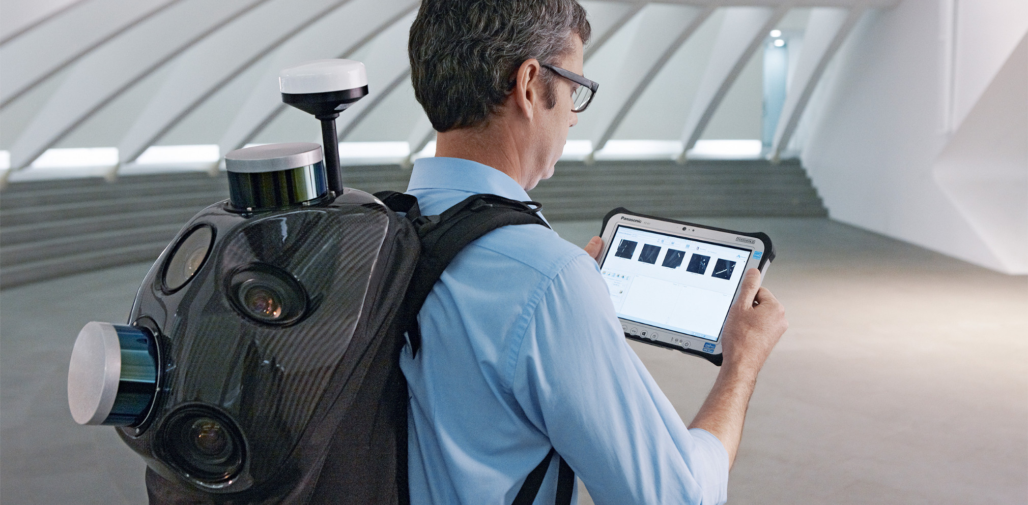
Portable and Indoor Mobile Mappers
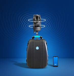
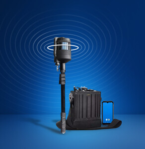
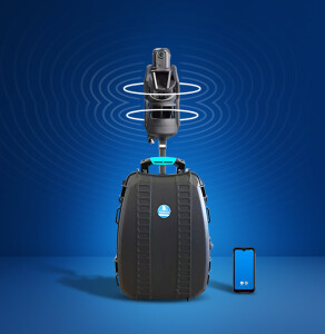
Portable and Indoor Mobile Mappers are the indoor counterparts of Mobile Mappers. The systems fit in a backpack or are a compact mobile device. They scan indoor environments with either cameras or laser scanners. Data sets are georeferenced and point clouds can be colored by using cameras as well as laser scanners.
Showing 1-11 of 11 results
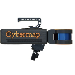
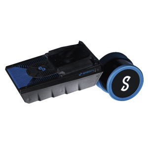
Cybermap
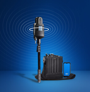
Hovermap ST
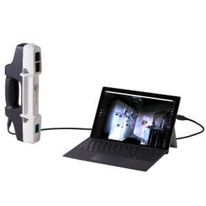
HERON MS TWIN
HERON LITE
HERON MS TWIN Color
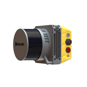
Lidaretto - Multiplatform Mapping System
HERON LITE Color
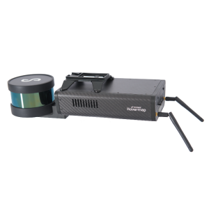
Hovermap ST-X
Hovermap HF1
F6
Need some help? Ask a Geo-matching expert!
Our team and network of 1000+ manufacturers and developers is here to assist you.