

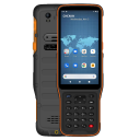


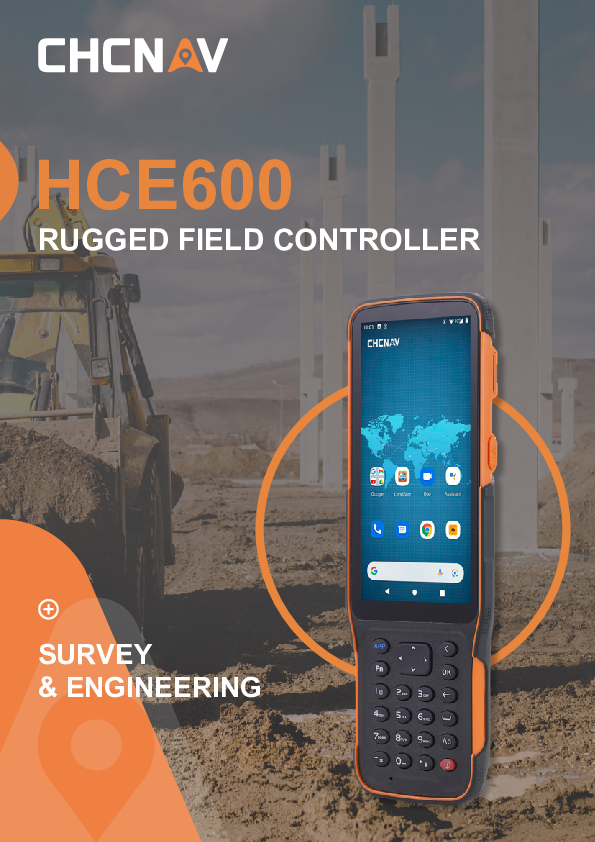
HCE600
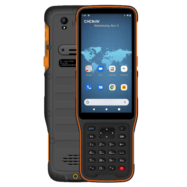
Ultra-Rugged Android Data Controller with 5.5" HD+ Display
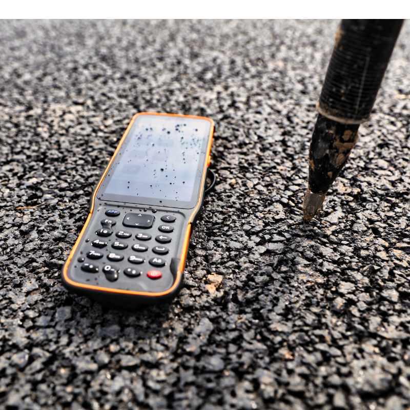
The HCE600 is a lightweight, professional Android data collector with an alphanumeric keypad, designed for mobile workforce. Its 5.5-inch DragonTrail™ display offers extreme durability, and incredible sunlight readability. Packed with connectivity modules including Bluetooth 5.0, dual-band 2.4G and 5G Wi-Fi, 4G modem, and more, the HCE600 connects to your favorite devices. Ultra-rugged, it withstands a 1.5-meter drop on concrete and meets stringent IP67 and MIL-STD-810H standards.

CHC Navigation | CHCNAV
Shanghai, CN
Description
-
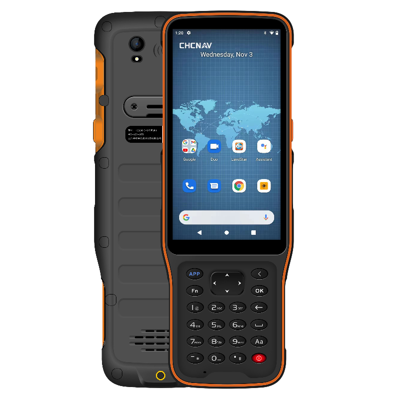
POWERFUL PLATFORM FOR FIELD DATA COLLECTION
Featuring the Android 10 operating system
The HCE600 features a powerful Helio MTK 6762 eight-core processor that delivers the best performance, runs 50% faster, and consumes 25% less power than its predecessors. The Android ten operating system enables smooth CAD drawing management and base map display. High-performance LPDDR4 memory transfers data faster, delivering instant uploads of large project files. The HCE600 comes with a built-in 4G cellular modem for a stable and reliable Internet connection. It includes a 90-day trial version of LandStar 7 Surveying and Mapping App with integrated cloud services to share data and provide one-click remote support from anywhere.
-
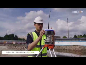
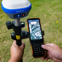
DESIGNED FOR THE MOBILE WORKFORCE
A sleek, lightweight, premium design for a better experience in the field
The HCE600 is only 1.54 cm thick and weighs only 345 g, making it the ultimate ultra-lightweight handheld for surveying and mapping applications. Based on an ergonomic design optimized for field use, its one-handed grip provides excellent handling and easier operation. A customizable shortcut key on its side allows for one-step measurement for quick data entry. The all-day battery life provides uninterrupted data collection in the field.
-
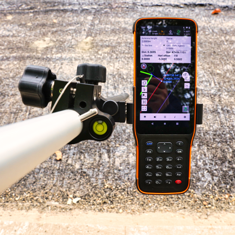
BRILLIANT HD+ DISPLAY
Perform your data collection tasks in the field more efficiently.
The high-brightness 5.5-inch HD+ display makes viewing your projects more comprehensive and intuitive. Complex survey projects, DXF base maps and data tables are displayed with more details to enhance the viewing experience. With up to 500 nits brightness, your data always remains easily readable for operations in all weather conditions, whether in direct sunlight or on a rainy day. Projects and maps are accessible in your working environment, allowing you to focus on your tasks in the most efficient way.
-
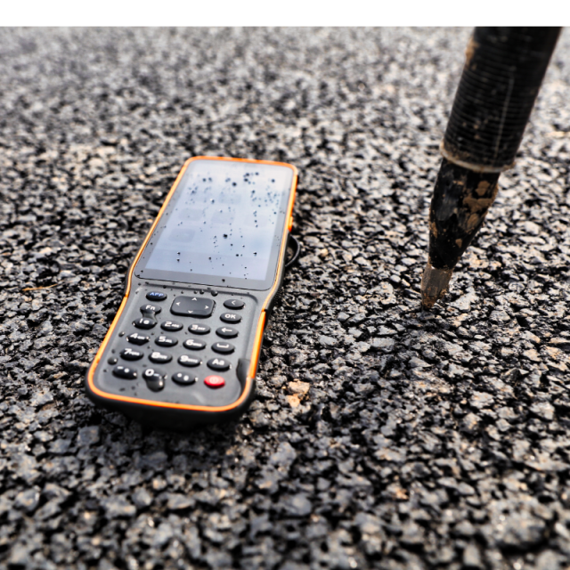
EXTENDED FIELD PERFORMANCE
Shock, dust and water-resistant
The HCE600 Asahi DragonTrail™ glass display is ultra-tough and scratch-resistant, providing long-term performance and great protection against everyday wear or accidental drops up to 1.5 m. MIL-STD 810 certification and IP67 rating provide the backbone for extreme durability and reliability in typical surveying and construction site environments. The nine-axis compass and gyro fusion algorithm corrects errors due to magnetic interference to provide accurate heading information. Common surveying applications, such as GNSS RTK stakeout surveys, are always performed more efficiently.
The HCE600 is a lightweight, compact, professional Android 10 data collector with an alphanumeric keypad specifically designed for surveying and mapping operations in the field. Its 5.5-inch DragonTrail™ display offers extreme durability, long-term performance, and incredible sunlight readability.
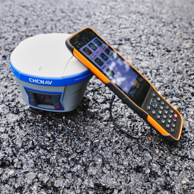
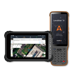
Packed with connectivity modules including Bluetooth 5.0, dual-band 2.4G and 5G Wi-Fi, 4G modem, and more, the HCE600 connects seamlessly and reliably to your favourite GNSS receivers and RTK network correction sources. Ultra-rugged, it withstands a 1.5-meter drop on concrete and meets stringent IP67 and MIL-STD-810H standards.
The HCE600 is the optimal handheld controller for working in harsh field environments and making your data collection easier and more efficient. The HCE600 comes with a 90-day trial version of the LandStar Surveying and Mapping App, trusted by over 100,000 professionals worldwide.
Do you have questions about this product?
- Questions about price, availability, and/or retailers
- Questions about technical specifications and usage
- Questions about suitability for your project or application
Specifications
-
General
-
Year of introduction
2021
Main design elements
hardware
Total Weight [kg]
0.345
Width [m]
0.08
Height [m]
0.224
Depth [m]
0.015
Resolution: horizontal pixels
720
Resolution: vertical pixels
1440
Touchscreen
Y
Display Panel
5.5 inch DragonTrail
-
Connectivity
-
User Interfaces
Alphanumeric keypad and touch screen
Bluetooth
Y
Ports
USB C
WiFi
Y
-
GNSS Receiver
-
GNSS Systems Supported
GNSS (BDS, GPS, GLONASS) A-GPS support
Compatible external GNSS receivers
Any GNSS receivers with Bluetooth / Wi-Fi connectivity
Compatible GNSS correction signals
-
Computer
-
Processor
Helio MTK 6762 octa-core 2.0 GHz
RAM [MB]
3
Hard Disk [MB]
32
Types of Replaceable Memory
MicroSDHC up to 128 GB
Audio: speaker
Y
Range measurement
N
Operating System
Android 10
Built-in Camera: megapixels
13
Hard Disk
Nand Flash
Audio: microphone
Y
-
Operation Characteristics
-
Integrated sensors
Compass, NFC
Operating temperature: min. [°C]
-30
Operating temperature: max. [°C]
60
Water and dust proof [IP]
IP67
Humidity resistance
95% non condensing
Shock proof
1.5 m fall on concrete
Operation time per battery [hr]
14
Battery Field Replaceable
Y
Pole mount available
Y
Documents
Brochure
hce600-ds-en.pdf
772.51 KB
Videos


