


About GEXCEL
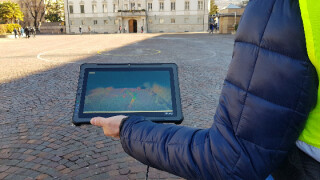
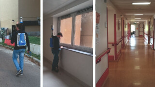
15-plus years of expertise in 3D geospatial applications. We develop and design software and solutions for the global 3D capture reality market, providing sales, support, training, and consulting.
Featured products

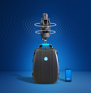
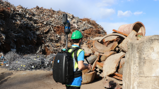
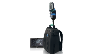
“What we offer is a remarkable 3D surveying experience made possible by the easy use of professional instruments and our focus on each customer individually”
Giorgia Rossi, Sales Manager

Main office
-
Via Branze, 45
25123 Brescia
Italy -
+39 030 659 5001
- http://www.gexcel.it/en/