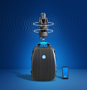
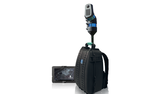
HERON MS Twin Your Advanced, Versatile Portable 3D Mapping System is in Live Demo for INTERGEO21 Digital
Let's see HERON MS Twin in action and find out the latest updates, like the control points acquisition and the cloud platforms data sharing.
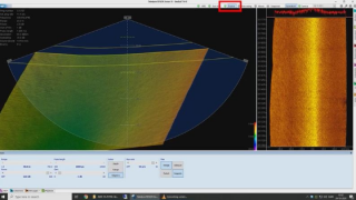
further to increase the quality of the final trajectory and geo-reference these are the main HERON improvements presented at INTERGEO:
Ground Control Points (GCP)
A useful feature to constraint and geo-reference HERON trajectories thanks to a non-rigid transformation/adjustment.
GCP in HERON local coordinates can be captured in two ways:
- Using the pole tag function.
- Scanning them during the acquisition and identifying them directly on the point cloud at high-res in post-processing.
An easy-to-use function allows users to pair each GCP to the related global coordinates. The GCP is used in the final global optimisation to increase further to increase the quality of the final trajectory and geo-reference it.
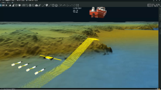
Change Detection Maps
[Tracking add-on] Automatic alignment of a HERON survey with a previously acquired point cloud or BIM model and detection of changes. The change detection map is now available directly in Reconstructor and editable for final reports.
Data Sharing
Direct connection to cloud platforms: Cintoo Cloud, 3DUseNet, 3DMapping Cloud, Faro WebShare.
Do you have questions about this product video?
Get in touch with GEXCEL, and they would be happy to answer any questions you have about pricing, suitability, availability, specs, etc.

Related products


