
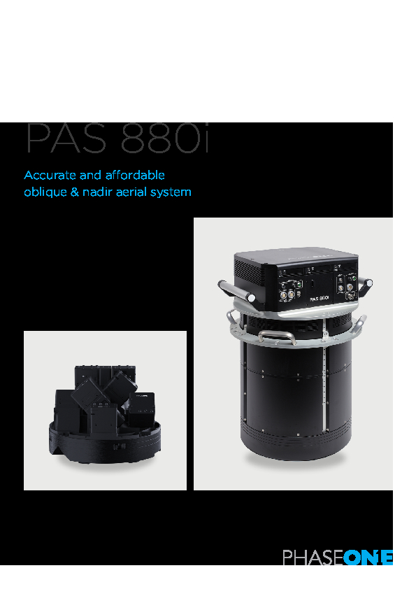
PAS 880
Bringing a New Dimension to Aerial Mapping
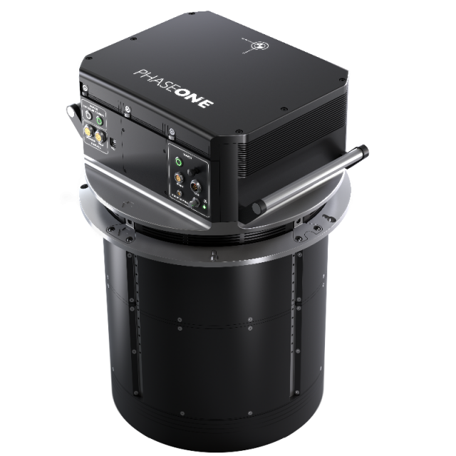
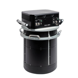
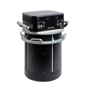
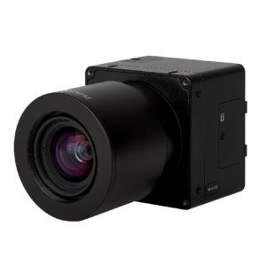
Phase One introduces its impressive PAS 880 Large Format Nadir and Oblique System. A 280MP nadir camera with four 150MP oblique cameras is integrated into a single pod to simultaneously capture photogrammetric 2D and 3D digital imagery.

Phase One A/S
Frederiksberg, DK
Description
Phase One introduces its impressive 880MP Large Format Nadir and Oblique Integrated System. It combines the best of both nadir and oblique cameras into one powerful multi-use solution. With one 280MP nadir and four 150MP oblique cameras, the system provides over 20,000 pixels across flight lines for the nadir and 14,000 pixels per oblique sensor. Phase One’s excellent image quality together with precise metric calibration, allows the PAS 880 to achieve the highest quality and accuracy of mapping imagery with an unbeatable performance of 2 frames per second.
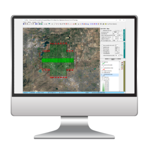
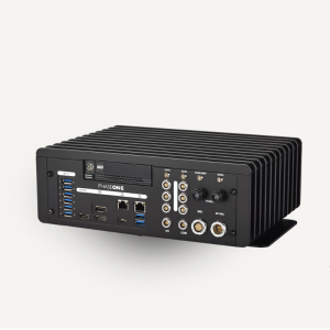
The light and compact system is controlled by a new generation of Phase One software enabling the planning and execution of efficient aero photography missions. The combination of 90mm/150mm lenses for nadir and oblique ensures balanced ground resolution products for all cameras. The central leaf shutter provides speed up to 1/2500 sec. eliminating motion blur while the 3,76 µm BSI pixels ensures sharp images under any light condition. Simple to install and operate, the PAS 880 offers dual views for the pilot and navigator, streamlining the management of flight and image collection. The system is ready for remote diagnostics and future updates.
Do you have questions about this product?
- Questions about price, availability, and/or retailers
- Questions about technical specifications and usage
- Questions about suitability for your project or application
Specifications
-
Data storage
-
Type of storage
SSD
Storage capacity [GB]
12
Storage Replaceable
Y
-
Sensor Characteristics
-
Number of lenses
6
Type CMOS
BSI CMOS Bayer Array
Pixel size [µm]
3.76
Dynamic range [bits]
14
-
Operation Characteristics
-
Platform
Helicopter
N
Fixed-wing
Y
-
Software
-
On board image storage format(s)
IIQ
Type of mission planning software
Phase One Management Software
-
General
-
Year of introduction
2020
-
Hardware
-
Camera unit Weight [kg]
45
Camera unit Length [m]
718
Camera unit Width [m]
403
Camera unit Depth [m]
-
Power requirements
380
Type of GNSS/ INS positioning system
Integrated, Trimble Applanix AP+ , Applanix IMU91/IMU57
-
Application areas
-
Select an application area:
-
Product characteristics
-
Choose characteristics:
Documents
Brochure
pas-880i-brochure.pdf
9.34 MB


