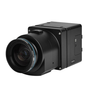

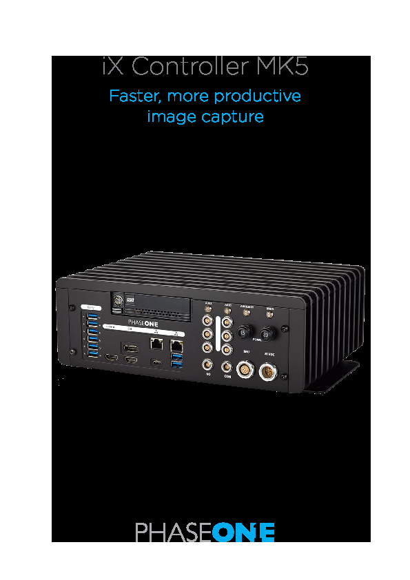
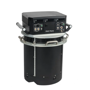
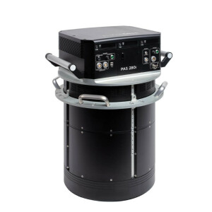
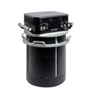
iX Controller MK5
Faster, more productive image capture
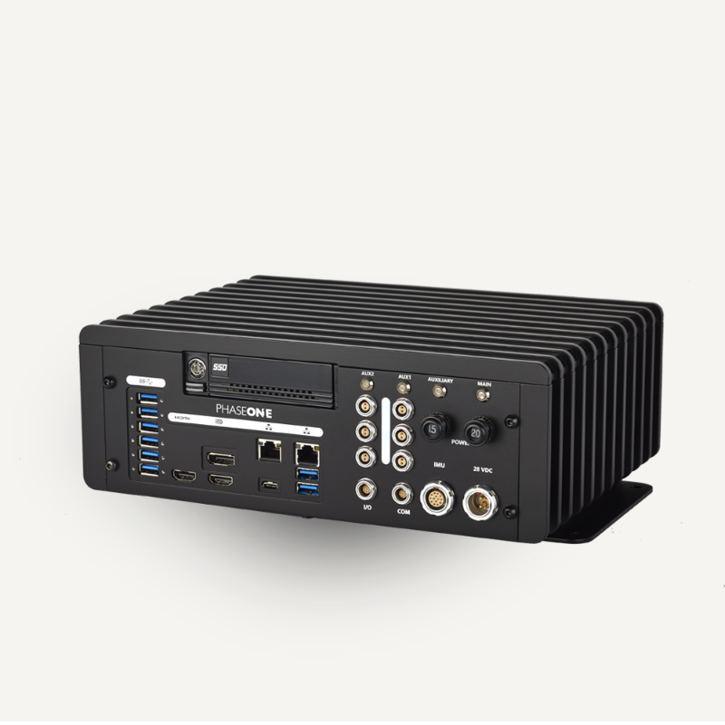
The iX Controller offers a robust onboard command center that addresses the challenges of aerial data acquisition and improves your productivity on airborne mapping missions. A precision GNSS-Inertial is now integrated inside the controller simplifying the setup of Phase One Aerial Systems and making direct georeferencing possible without ground control points. A range of integrated GNSS-inertial and IMU options is available for the iX Controller MK5.

Phase One A/S
Frederiksberg, DK
Description
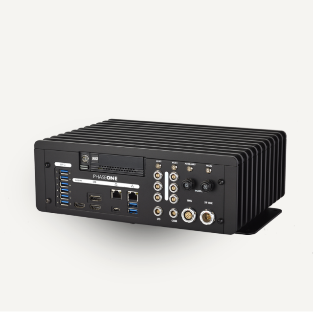
Main Features
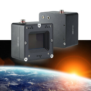
- Controls up to 6 cameras and gyro-stabilizing mount
- Rapid data transfer
- High-capacity storage with robust removable dual protective SSD trays
- Simplified aerial system setup with integrated GNSS-Inertial unit
- Direct connectivity with Applanix IMU – multiple upgrade options for higher accuracy
- Easy integration with any aircraft
- Compact, low-power, lightweight, and rugged construction
- Meets airborne environmental operational requirements
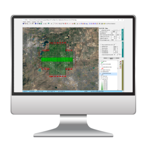
- Pre-installed with Phase One capture and flight management software
- Backward compatibility with previous iX Controller setups
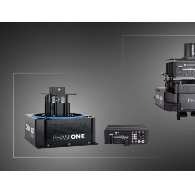
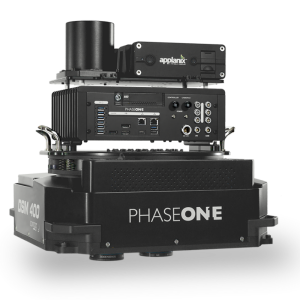
Phase One Aerial System configurations with iX Controller MK5
GNSS-inertial features
- High-performance, survey-grade multi-frequency integrated GNSS-Inertial receiver.
- Lower field costs: When direct geo-referencing is used, the number of ground control points established by the survey crew is significantly reduced, and as a result, field costs decrease.
- Faster completion: For many photo projects, the aerotriangulation (AT) step is eliminated, reducing processing time significantly, which is a major factor in rapid response applications.
- Seamless workflows: Data workflow and quality control is streamlined and automated, which allows tight project deadlines to be met with a smaller ground survey in less time.
- POSPac MMS post-processing software bundle includes Carrier Phase DGPS processing, integrated GNSS-Inertial processing, and optional photogrammetry toolset for EO generation, IMU boresight calibration, and quality control.
GNSS/IMU configurations for variable accuracy levels
Different GNSS-Inertial configurations are available to meet your application and accuracy levels requirements. High-altitude flights for direct georeferencing applications usually require the iX Controller MK5-AP610 configuration, and low-altitude flights for aero-triangulation applications usually use the iX Controller MK5-AP310 configuration.
- iX Controller MK5-AP180 (IMU – 69)
- iX Controller MK5-AP310 (IMU – 82)
- iX Controller MK5-AP510 (IMU – 91)
- iX Controller MK5-AP610 (IMU – 57)
Do you have questions about this product?
- Questions about price, availability, and/or retailers
- Questions about technical specifications and usage
- Questions about suitability for your project or application
Specifications
-
General
-
Type of application
Documents
Brochure
phase-one-ix-controller-mk5-brochure.pdf
1.72 MB

