Honeywell HGuide n580 Inertial/GNSS Navigator Reliably Delivers Precise Data for 3D Mapping
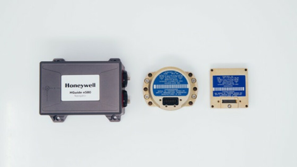
Honeywell offers high-performance, non-ITAR inertial measurement units and navigators for demanding use cases that require reliable data in GNSS-challenged areas. Around the world, companies are investing heavily in technologies that enable them to inspect assets without ever needing to set foot near those areas or infrastructures. Aerial photography has long been a key tool in the expanding field of 3D mapping.
Industries as diverse as real estate, agriculture, urban planning, forestry management, oil and gas exploration, cellular networking planning, transportation planning, and more, have come to rely on digital 3D models to support a variety of their operations -- from planning to inventorying and even maintenance.
Aerial surveying takes less time and can be significantly less expensive than other surveying methods. In addition, it provides a unique view that is impossible to capture any other way, with a highly accurate measurement of terrain, buildings and other physical features, giving a true sense of depth, size and height.

Inertial/GNSS for Aerial Surveying
While helicopters and fixed-wing aircraft are still widely used, many companies are opting to use unmanned aerial vehicles (UAVs) to improve safety, efficiency and data fidelity.
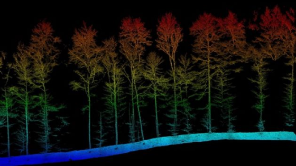
Today, many companies like Honeywell’s HGuide n580 user, Aeroscout, are capturing data using light detection and ranging (LiDAR), an advanced surveying technology that uses lasers to measure distance.
LiDAR provides extremely accurate 3D data sets (referred to as point clouds) that are then manipulated by a computer to create the finished 3D model. To better understand how the LiDAR point clouds fit together, the computer needs accurate position and orientation information provided by a navigation system.

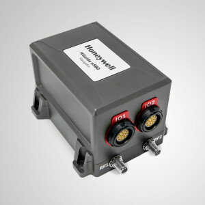
Honeywell's HGuide n580 Inertial/GNSS navigatoris used in various 3D mapping applications in combination with LiDAR on the ground and in the sky to tell companies where the data is being captured even in GPS-denied areas.
By combining LiDAR and our n580 navigator, surveying companies around the world are creating 3D maps to efficiently monitor their assets in remote regions to identify areas that require maintenance.

Related products


![Do-Giant-Tortoises-Make-Good-Neighbors-1[1].jpg](https://cdn.geo-matching.com/vRMO2Edp.jpg?w=320&s=a6108b2726133ff723670b57bc54c812)


