
Inertial Navigation Systems Pros and Cons
From airplanes to drones and now autonomous vehicles, GNSS-aided inertial navigation systems (INS/GNSS) are enabling companies around the world to reach new heights in autonomy. An INS/GNSS is comprised of an inertial measurement unit (IMU), a global navigation satellite system (GNSS) receiver and fusion software. These components work together to calculate position, orientation and velocity to deliver critical navigation information in GNSS-denied areas like urban canyons, bridges, tunnels, mountains, parking garages and dense forests.
Honeywell’s HGuide inertial sensors and navigation engineers work with companies across the globe to help them integrate our solutions, better solve their challenges, and accelerate their time to market.
We’ve polled our engineers to pull together a comprehensive list of the advantages and disadvantages of an inertial navigation system when compared to an IMU-based on their first-hand experiences – here’s what they said:
Advantage:
Outright Position
An integrated INS/GNSS provides absolute position and attitude information to a platform, unlike an IMU. This information can be used to navigate vehicles autonomously, perform highly precise inspections, generate high definition maps for location applications and much more.
For example, an integrated INS/GNSS can enable significant improvements in operational efficiency for surveyors as they can do their job while on the move. While an IMU is an important part of an INS/GNSS, it alone can’t perform the same function as it will only provide rotation and acceleration information. In an integrated INS/GNSS, the absolute position from the GNSS receiver is blended with the raw inertial data to provide a smoothed output to the user. With GNSS only, it’s more difficult to determine parameters like orientation or position when satellite signals are being blocked. An integrated INS/GNSS solution can provide highly reliable data even in these situations.
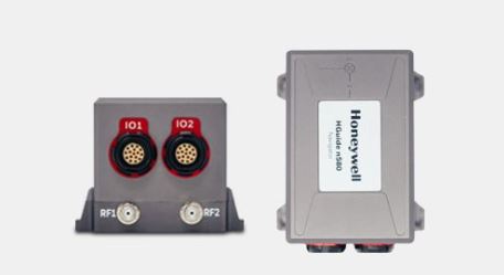
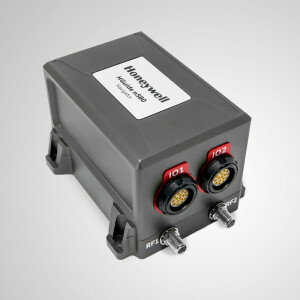
Our HGuide n580 inertial navigation system provides time-stamped position velocity, angular rate, linear acceleration, roll, pitch and heading information.
Disadvantage:
Level of Integration
While an IMU doesn't contain a GNSS receiver, the user may want to use a GNSS receiver that was built into the platform. In this case, the user can integrate an IMU to enhance the position and attitude accuracy of the platform in areas where GNSS is unavailable.
An example would be if a customer is using a GNSS receiver today but is having struggles related to erratic solution availability adversely impacting their operations due to poor satellite coverage. In this case, a “federated” solution that uses an IMU with an external GNSS receiver may be a preferred solution as it allows a bit more flexibility.
To download the full list of advantages and disadvantages of an inertial navigation system, please download the infographic here.

Related products


![Do-Giant-Tortoises-Make-Good-Neighbors-1[1].jpg](https://cdn.geo-matching.com/vRMO2Edp.jpg?w=320&s=a6108b2726133ff723670b57bc54c812)


