How Contemporary Artist Combine Aerial Imagery with Topcon GPS Technology for Art Projects
Contemporary artist uses GPS technology to raise awareness.When art and technology join forces for the greater good, amazing things can happen. This story takes us to Spain. In 2016, contemporary artist Jorge Rodríguez-Gerada landed in Barcelona to go to work on a new installment in his “Terrestrial Art” series. The goal of this series is to raise awareness regarding important social issues, such as human rights and climate change. An important characteristic of his Terrestrial Art: the works are produced on such a large scale that they can be seen from space. Their size symbolizes the impact of the issues being addressed.
Visible from space
The first project in the series was also produced in Barcelona. A huge sand portrait of Barack Obama on the beach entitled “Expectation” was presented shortly before the 2008 elections in the United States of America, reflecting their global impact.
Works that followed include a portrait of a feminist activist on one of Amsterdam’s islands. It was created in the context of International Human Rights Day, to bring attention to the case of Central American women who were terrorized for defending women’s rights. This portrait was constructed using no less than seven tons of straw and five miles of rope. Rodríguez-Gerada also likes to integrate modern technology, working with drones and satellite imagery “as if they were pencils and paintbrushes”.
A need for empathy
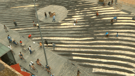
This time, the location Rodríguez-Gerada has selected is Plaça Comercial. “A very emblematic square in the Born district in Barcelona,” he says. “I’m going to make a big piece of art in this square about Spanish Civil War refugees. We are producing a big piece of art based on a woman’s gaze. Eyes that are looking to the future, but also reveal a reflection of the past.”
Satellites and chalk paint
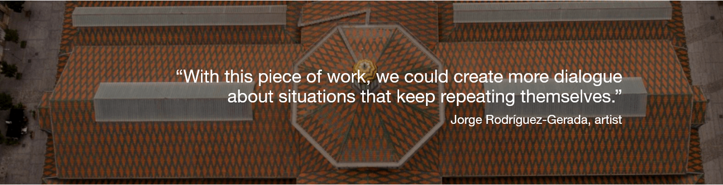
“So far, the project has taken on many different forms, but I wanted to touch on a need for more empathy on an international level,” says Rodríguez-Gerada. “With this piece of work, I think we could create more dialogue about situations that keep repeating themselves.”
“The final design shows the eyes of an anonymous woman from Barcelona. They are from an image I found in the library when I was researching Spanish Civil War refugees,” says Rodríguez-Gerada. “There were some complications, such as taking care of licenses and rights to the image, but in the end we managed it.”
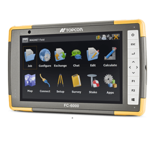
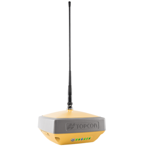
The materials Rodríguez-Gerada prefers to use are of an ephemeral nature. They have no impact on the environment. In this case he will be using chalk paint. Once the design was done, it was plotted out using GPS software. Satellite data enabled the team to stake out the entire image on the ground.
Afterwards, volunteers who live in the neighborhood got together to paint the image and really bring it to life. This is a vital part of the Terrestrial Art series. The project’s large scale means a lot of helping hands are required – and it is intended to unite people while contributing to a good cause. Jorge Rodríguez-Gerada hopes this enhances the message’s reach.
Extra accuracy
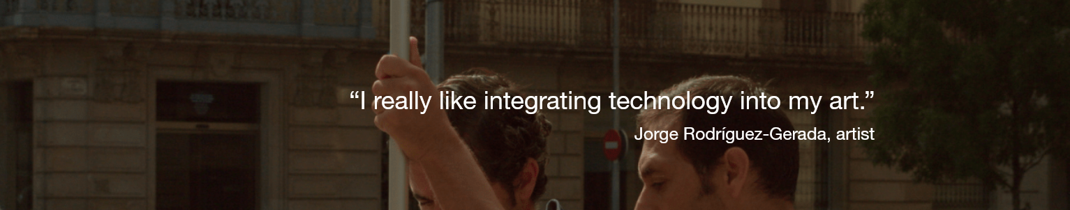
“I really like integrating technology into my art,” says Rodríguez-Gerada. Indeed, it plays a crucial role. During the project, the artist was assisted by Constantí Serra Pladevall, who offers technical support to Topcon’s clients and their teams. He helped Rodríguez-Gerada during the production and execution of the large-scale image.
“The main problem is that the surrounding buildings could prevent the team from receiving the satellite signal, and produce 'multipaths' which would reflect the signal and produce noise,” Serra Pladevall said. “My intention is to make sure we are capable of overcoming all these challenges, and also to make sure all the data are correctly structured, to help Jorge complete his work in the best possible circumstances.”
The design was georeferenced in Autocad and uploaded to the GPS software with MAGNET Field. The team benefited from RTK corrections for extra accuracy, in order to ensure that the design would be staked out on the square without any errors. In the end, the presence of the buildings did not prevent the team from receiving a solid satellite signal, and it was all systems go for the volunteers.
The anonymous woman’s gaze was visible on October 1st and 2nd, 2016. Hopefully, its impact has been experienced far beyond these two days.
Do you have questions about this case study?
Get in touch with Topcon, and they would be happy to answer any questions you have about pricing, suitability, availability, specs, etc.


![Do-Giant-Tortoises-Make-Good-Neighbors-1[1].jpg](https://cdn.geo-matching.com/vRMO2Edp.jpg?w=320&s=a6108b2726133ff723670b57bc54c812)


