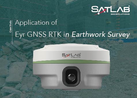
Application of Eyr GNSS RTK in Earthwork Survey
Project Background
A housing construction company has been assigned the task of undertaking foundation works for a high-rise residential building. This crucial phase involves extensive earthwork excavation and filling, necessitating accurate and safe measurements to ensure the project’s success. To enhance measurement efficiency and precision, the company has opted to utilize RTK technology with visual positioning for earthwork measurement.
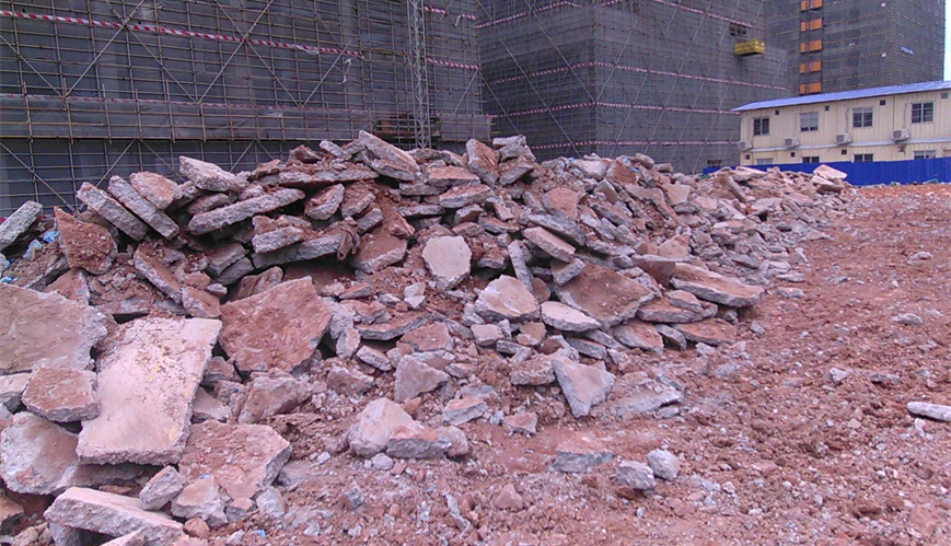
Earthwork to be measured
Pain Point Analysis
Traditional methods of earthwork measurement rely on manual techniques, resulting in time-consuming, labor-intensive processes that are susceptible to errors. Moreover, the complexity of terrain and unique requirements of foundation engineering further challenge the accuracy and precision of measurements. The demand for a more efficient, accurate, and visualized measurement solution has become evident.
Implementation Program
To address the users’ pain points, the housing construction company has developed an implementation plan for visual positioning in earthwork measurement during foundation engineering. The key steps involved are as follows:
(a)Equipment Preparation: The selection of GNSS RTK equipment, suitable for the foundation engineering environment, ensures resistance to interference and durability.
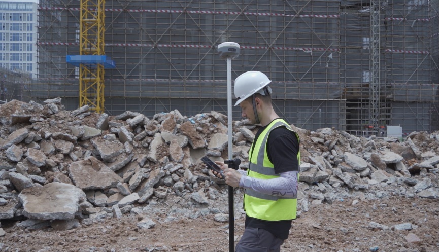
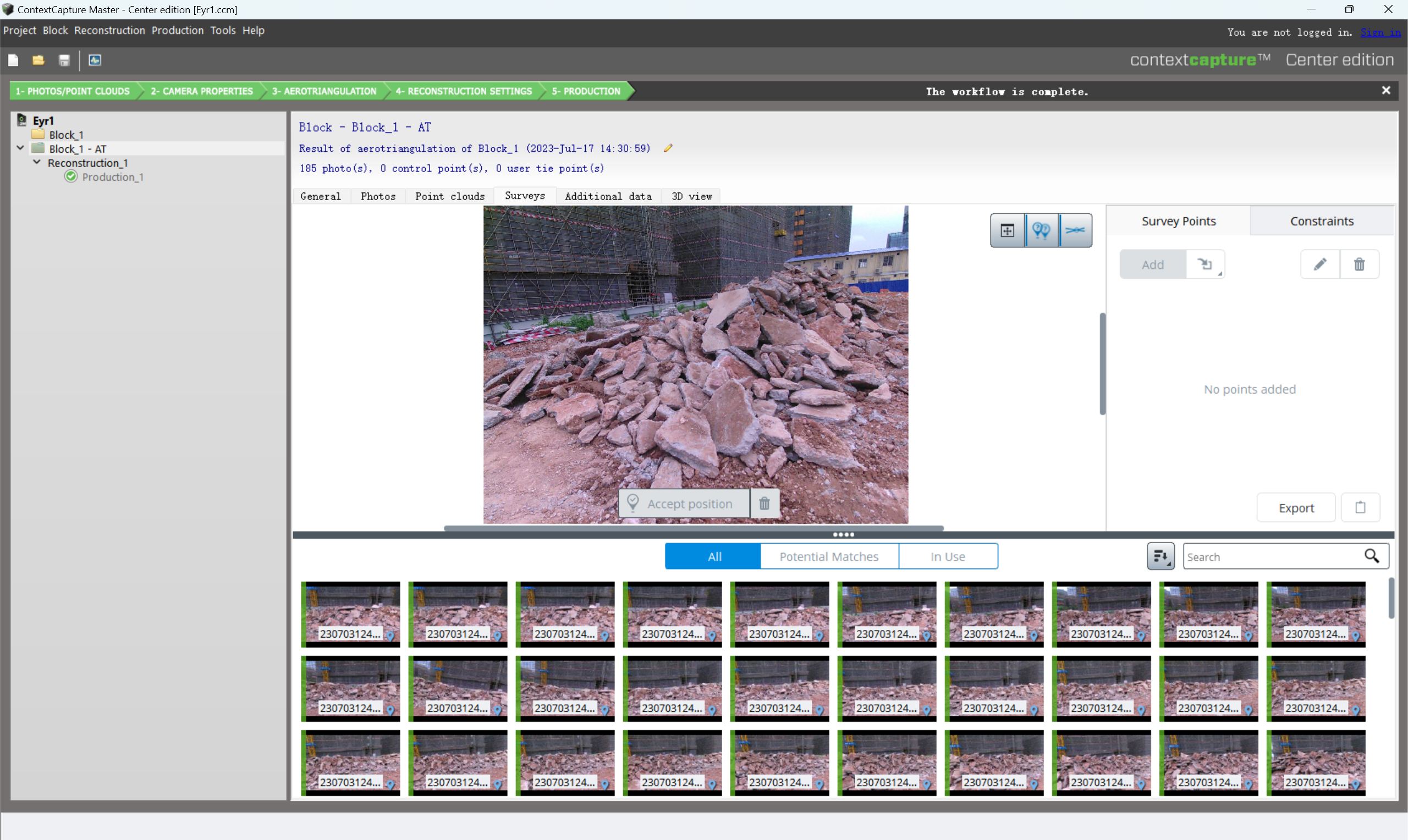
Surveying with Eyr RTK
(b) Ground Control Point Layout: The strategic layout of ground control points within the construction area serves as a reference datum for precise measurement.
(c) Data Collection: The Eyr RTK system is utilized to measure various earthwork parameters, including volume, shape, and flatness. By combining image and positioning data, accurate earthwork measurement results are generated using advanced image processing algorithms.
Import the acquired image into the modeling software
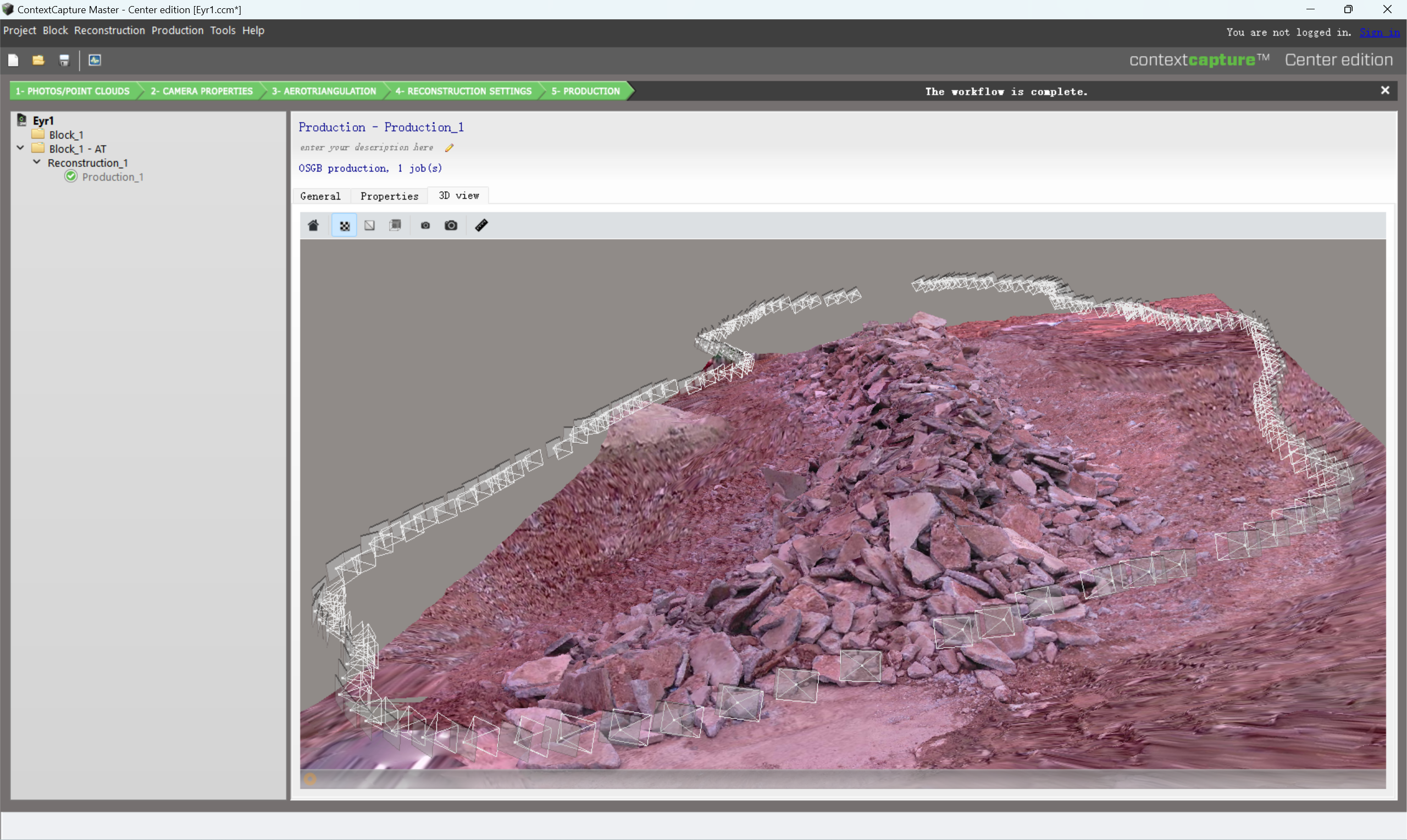
The distribution of shooting positions is displayed in the software
(d) Data Analysis and Visualization: The acquired earthwork measurement results are imported into a background processing system. The data is then presented to users in graphical and visual formats through sophisticated analysis and visualization tools. This enables better comprehension of earthwork conditions, facilitating construction adjustments and fill controls as required.
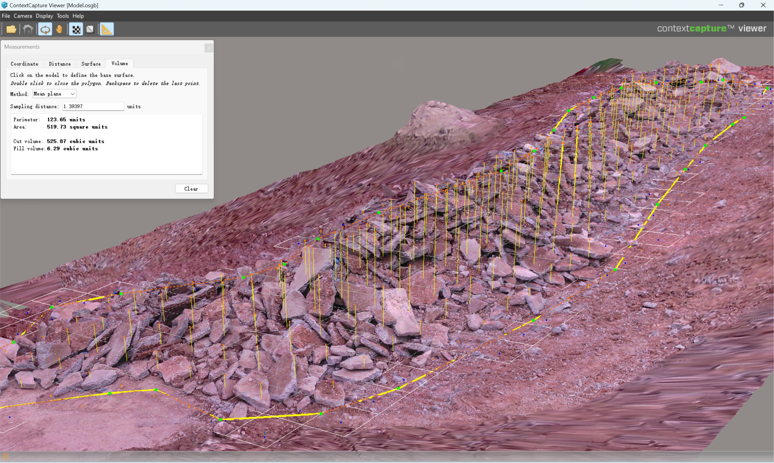
Calculation results of earthwork in software
Summary
The adoption of visual positioning for earthwork surveying in foundation works has provided the housing construction company with several key benefits:
(a) Improved Measurement Efficiency: By replacing traditional manual methods, visual positioning significantly reduces measurement time, thus enhancing overall measurement efficiency.
(b) Enhanced Measurement Accuracy: Leveraging image processing and precise positioning, visual positioning minimizes human errors, yielding more accurate earthwork measurement results.
(c) Real-Time Construction Adjustment: Real-time visualization empowers users to promptly assess earthwork situations, facilitating construction adjustments and fill controls. This, in turn, elevates construction accuracy and safety.
Through the application of visual positioning for earthwork measurement in foundation engineering, the housing construction company gains comprehensive monitoring and management capabilities over excavation, filling, and construction progress. This leads to improved construction quality and efficiency, ensuring the foundation’s stability and smooth project progress. By reducing construction risks, mitigating engineering changes and redundant efforts, the company is empowered to deliver the project successfully with enhanced outcomes.
Do you have questions about this case study?
Get in touch with SatLab, and they would be happy to answer any questions you have about pricing, suitability, availability, specs, etc.

Related products


![Do-Giant-Tortoises-Make-Good-Neighbors-1[1].jpg](https://cdn.geo-matching.com/vRMO2Edp.jpg?w=320&s=a6108b2726133ff723670b57bc54c812)


