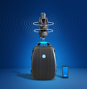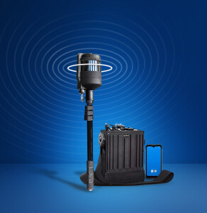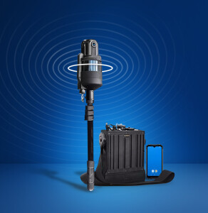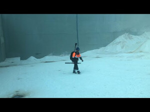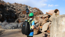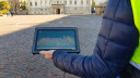

HERON - Control Points Acquisition
HERON is able to anchor its 3D models to constraints so as to increase its global accuracy. These constraints can be GNSS coordinates, ground points, physical/natural points but also georeferenced scans or 3D point clouds (TLS, UAV, Mobile). With this approach, you can also geo-reference the model.
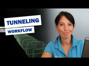
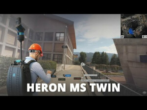
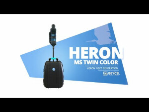
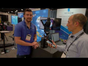
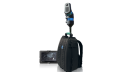
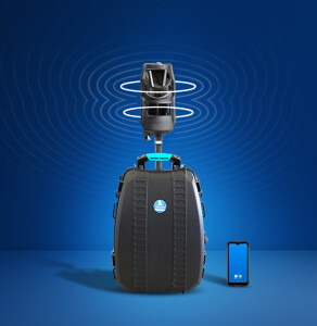
Products featured in this video