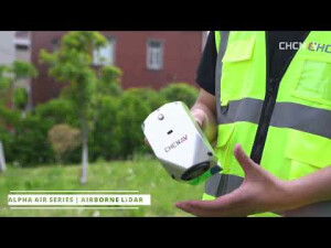


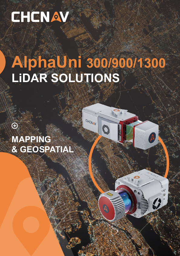
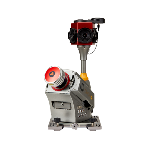
AlphaUni 900/1300 UAS Lidar System
The High-Precision, Long-Range Laser Scanners With Unique Waveform-LiDAR Technology and High-Accuracy Inertial Navigation System
AlphaUni 900/1300 offers a fully integrated system with high-precision, long-range laser scanners with unique Waveform-LiDAR technology from Riegl and a high-accuracy inertial navigation system from CHCNAV, ready for demanding surveying missions in the air and on the ground, requiring the highest quality of data.

CHC Navigation | CHCNAV
Shanghai, CN
Description
-
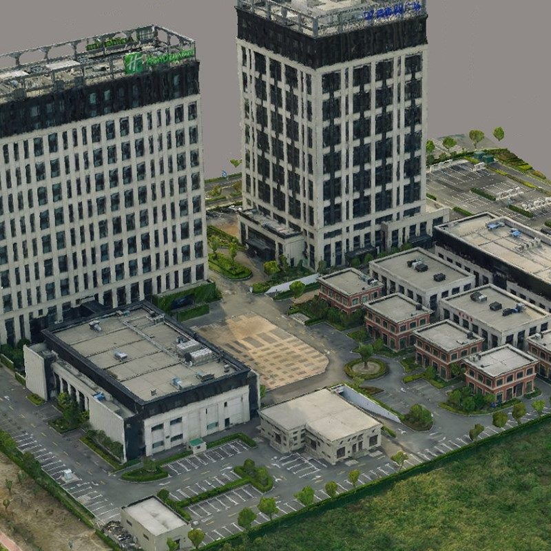
SURVEY-GRADE ACCURACY, TOGETHER WITH LONG-RANGE CAPABILITY
Scanning range up to 1415 m or 1845 m
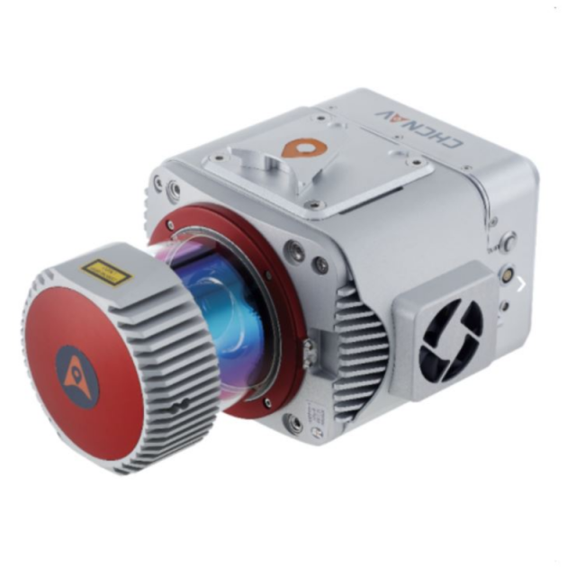
With Riegl's premium VUX-1 UAV and VUX-1 LR high-speed, long-range scanners, combined with industry-leading GNSS and IMU sensors, the AlphaUni900 and AlphaUni1300 are designed for the most demanding mapping applications where accuracy, high speeds and altitudes over large scan regions are a must.
-
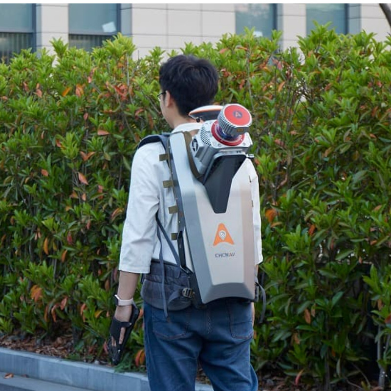
GREATEST FLEXIBILITY
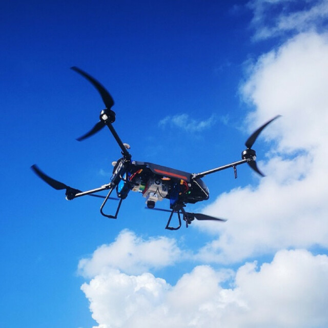
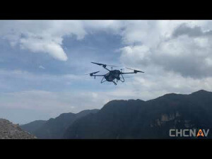
Support multiple platforms installation
In only 5 minutes of set-up time the AlphaUni 900 allows users to capture reality from multiple platforms, including different UAV models, multi-rotor and fixed-wing VTOL UAS, and then switch to vehicle mode for highway measurements and high-precision maps with our advanced kit with the panoramic camera or quickly switch to backpack mode when the UAV and vehicle are unable to complete the mission.
-
CONNECTIVITY
Supporting additional sensors
For multi-platform installation, the AlphaUni 900 & 1300 have different connection ports and support additional synchronization with DMI, GAMS (dual GNSS antenna), cameras, and other devices that support NMEA.
-
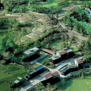
3D POINT CLOUD PROCESSING SOFTWARE
Powerful and accurate 3D point cloud generation
CoPre is an advanced, user-friendly 3D laser scanning pre-processing software that can process captured raw data, including POS trajectories, LiDAR data, and RGB images. CoProcess is a reality capture post-processing software providing DEM/DTM generation, semi-automated feature extraction, automatic data classification, and dedicated power line and road inspection modules. With its intuitive interface and efficient workflow, the software significantly improves the productivity of 3D mapping projects.
AlphaUni 900/1300 belongs to the Alpha Mobile Mapping family, which are high-end multi-platform LiDAR systems designed and improved by CHCNAV through many years of exploration and data capture experience.
AlphaUni 900/1300 offers a fully integrated system with high-precision, long-range laser scanners with unique Waveform-LiDAR technology from Riegl and a high-accuracy inertial navigation system, ready for demanding surveying missions in the air and on the ground, requiring the highest quality of data.
Do you have questions about this product?
- Questions about price, availability, and/or retailers
- Questions about technical specifications and usage
- Questions about suitability for your project or application
Specifications
-
Operation Characteristics
-
Camera included
Documents
Brochure
alphauni-ds-en-3.pdf
1.81 MB


