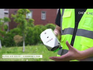


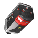


AlphaAir 2400
Premium Airborne Laser Scanner With 2 150M Range for High-Altitude Lidar Mapping Over Large Areas
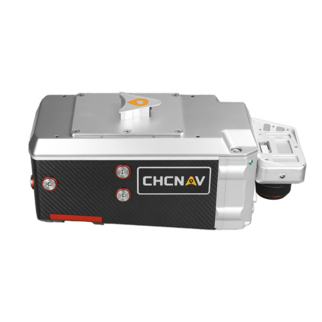
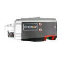
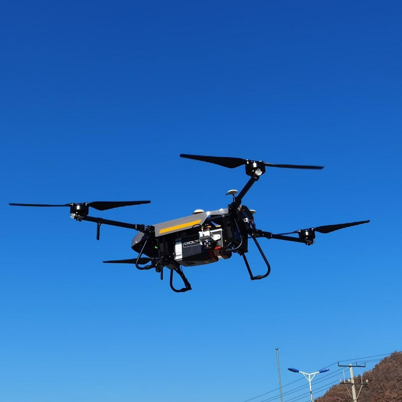
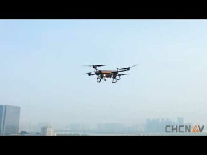
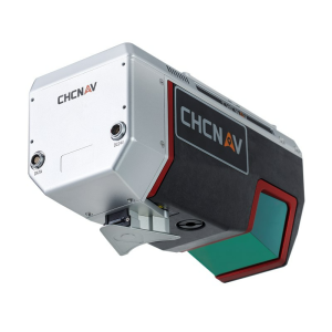
The AA2400 system integrates a Riegl’s VUX- 240 laser scanner and the industrial-grade CHCNAV’s GNSS & high precision IMU making it possible to provide up to 2 cm accuracy, depending on the scanning range. The AlphaAir 2400 is an airborne laser scanner offering an impressive combination of low weight, extended range, high accuracy, and scanning speed for missions at up to 1400 m operating flight altitude. The AA2400 can be easily installed on helicopters or airplanes and various UAVs.

CHC Navigation | CHCNAV
Shanghai, CN
Description
-
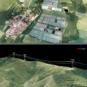
DATA ACQUISITION AT HIGH ALTITUDE
High-end GNSS + INS combined with Riegl VUX-240
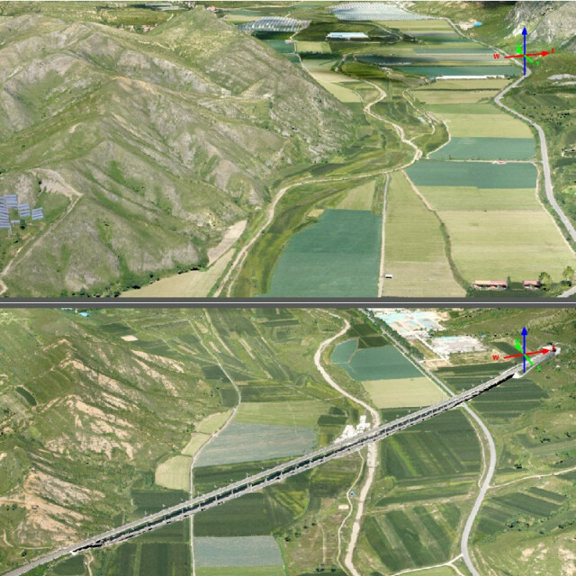
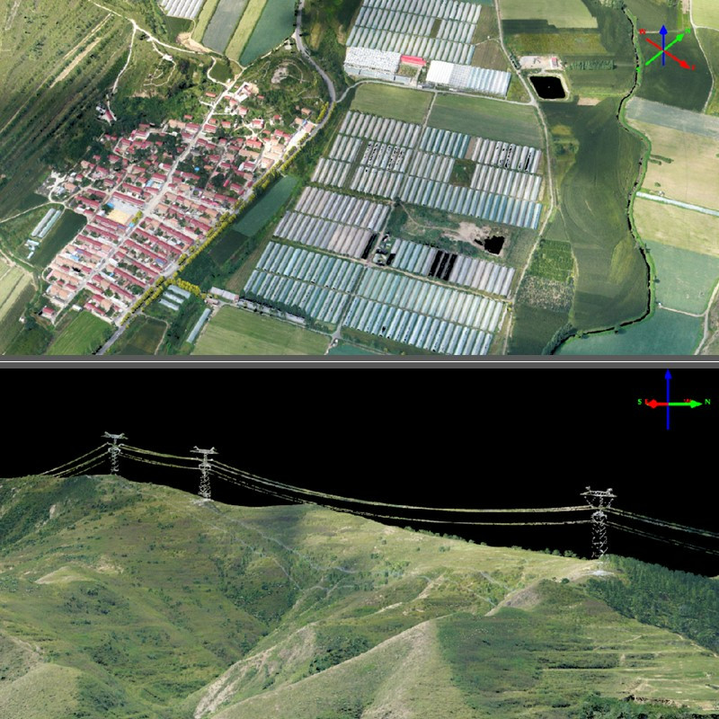
The AlphaAir2400, with the extended scanning range, allows higher altitude missions of up to 1400 m to survey large areas and avoid potential collisions with high objects. The acquisition time is significantly reduced, especially for large corridor mapping projects from helicopters or aircraft. With its integrated VUX-240, the AA2400 features a wide 75-degree field of view and a high-speed data acquisition rate of up to 1.8 MHz with a scanning range of up to 2150 m at 80% albedo delivering 2 cm linear accuracy.
-
PROFESSIONAL IMAGING SENSORS
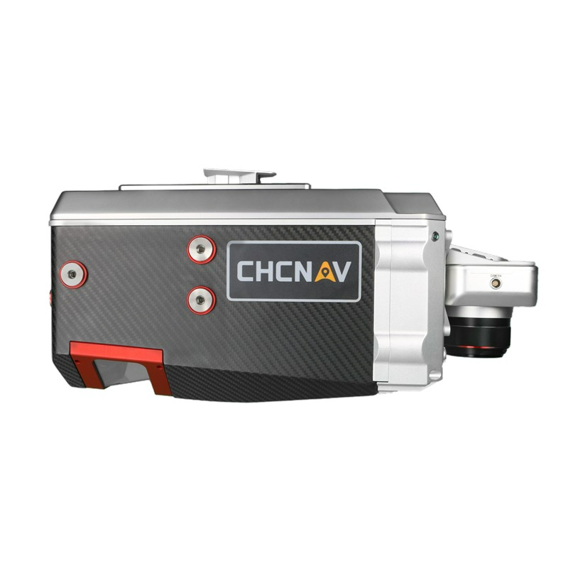
AA2400 can control up to four external cameras
Up to four cameras in nadir or nadir and oblique view with a high resolution of 100-150 MP, such as a PhaseOne camera, can be added to the AA2400. By obtaining high-resolution geo-referenced and/or oblique imagery, more applications can be supported, increasing the return on investment for the client.
-
EXTREME PRODUCTIVITY AND DATA QUALITY
The fast data acquisition rate of up to 1.8 MHz with up to 400 lines per second
The built-in VUX-240 LiDAR delivers 2 cm linear accuracy on long-range scans. The continuously rotating polygonal mirror wheel enables scan speeds of up to 400 lines per second, ideally suited for high-point density corridor mapping applications. The over-density of accurate data makes the results of point cloud processing, such as drawings, 3D models, or DTMs, more accurate.
The AlphaAir 2400 is an airborne laser scanner offering an impressive combination of low weight, extended range, high accuracy, and scanning speed for missions up to 1400 m operating flight altitude. The AA2400 can be easily installed on helicopters or aeroplanes and on various UAVs, such as CHCNAV's BB4.
The AA2400 system integrates a Riegl’s VUX- 240 laser scanner with a unique forward and backwards-looking FOV designed to minimize laser shadowing and provide geometry of complex vertical structures in a single pass. In addition, the VUX-240 airborne laser scanner features a wide 75-degree field of view and a high-speed data acquisition rate of up to 1.8 MHz and a scanning range of up to 2150 meters. The industrial-grade CHCNAV’s GNSS and high-precision IMU allow the AlphaAir 2400 to provide up to 2 cm accuracy, depending on the scanning range.
Do you have questions about this product?
- Questions about price, availability, and/or retailers
- Questions about technical specifications and usage
- Questions about suitability for your project or application
Specifications
-
Application
-
Main applications
High-density point corridor mapping applications
Training, maintanence and support
Included
Distinguishable features
Ultimate long range scanning combined with the high-resolution imaging; high point density and superior data accuracy; LIDAR combination with the professional imaging solutions
-
Measurement Characteristics
-
Scanning method
rotating polygon mirror
Range accuracy [mm]
20
Scanning Speed [measurements p second]
400
Max. field of view [degrees]
75
multiple pulses in air
Y
Min. pulse frequency [Hz]
150000
Max. pulse frequency [Hz]
1800000
Max. number of recorded echoes per pulse
15
Recording of intensity of return signal [bits]
16
-
Physical Properties
-
Height [cm]
20.6
Length [cm]
34
Width [cm]
16.4
Weight [kg]
5.05
Water and dust proof
IP64
-
Laser Pulse Characteristics
-
Laser Class
3R (in accordance with IEC 60825-1:2014)
Min. range of laser pulse [m]
5
Max. range of laser pulse [m]
2150
Wavelength [nm]
1550
Beam divergence [mrad]
0.35
-
Power Supply
-
Power consumption
95 W
Power requirements
wide range of input voltage 11 V ~ 34 V
Type of battery
External battery
-
Positioning System
-
Type of GNSS positioning sensors
Multiple GPS, GLONASS, Galileo, BeiDou, SBAS and QZSS constellation, L-Band
Typical positioning accuracy [cm]
1
Heading, Pitch and Role internally captured
Y
Type of INS or IMU
IMU
Number of GNSS positioning sensors
1
Gyroscopes Bias In-Run stability [deg p hr]
0.025 mg, 1 sigma
-
Operation Characteristics
-
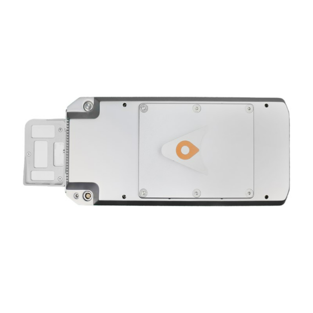
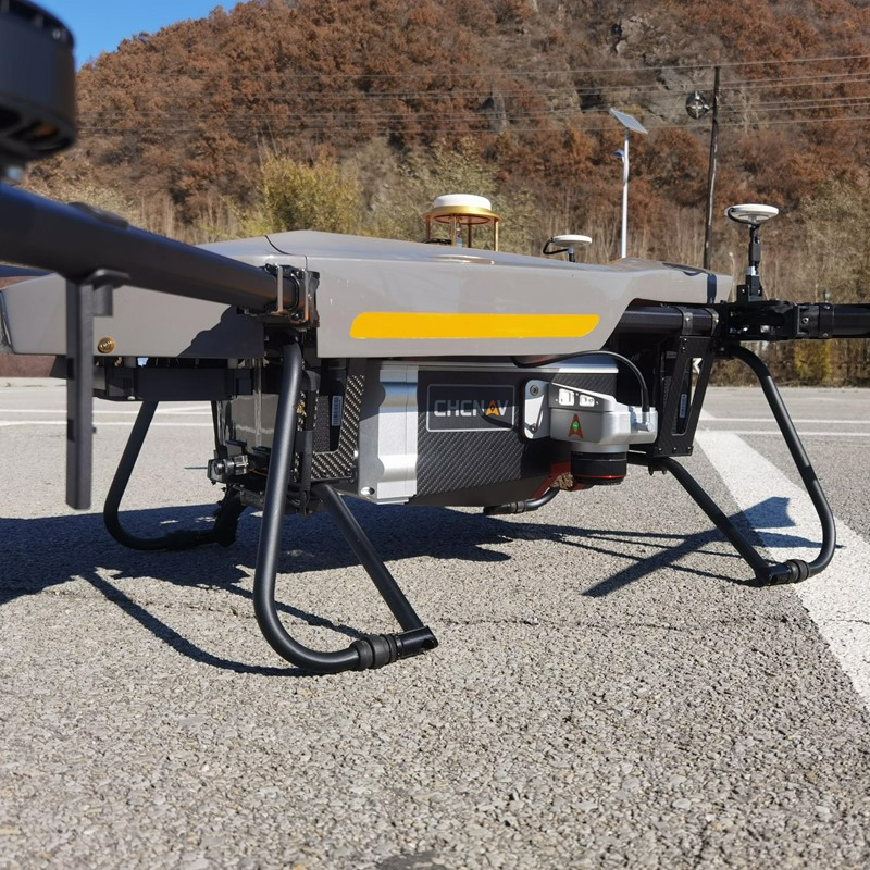
Mounting
The connection between equipment and aircraft uses quick disassembly structure, simple and easy to operate. There is no cable between unit and aircraft, camera and unit
Requirements for compatible UAVs
UAV platforms, helicopters or small airplanes
Camera included
Yes, Optional
Camera specifications
CHC AS-C4200 (calibrated Sony A7 RII). Modular upgrade options: DSLR, thermal, multispectral
Control and user interface
Up to 8 km, wireless control of instrument parameters and data recording in real time
-
Data and Software
-
Type of storage
SSD
Max. storage space [mb]
1000000
Included software
Performed with CoCapture UAV software and semi-automatic point cloud processing CoPre desktop software
-
General
-
Year of last update
2022
Year of introduction
2022
Documents
Brochure
alphaair-1400-2400-ds-en-1.pdf
1.45 MB


