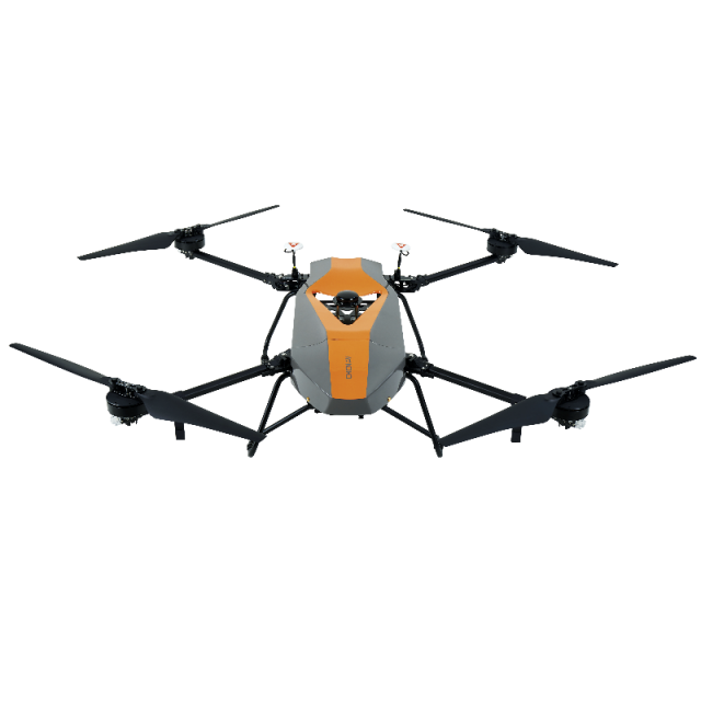

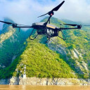


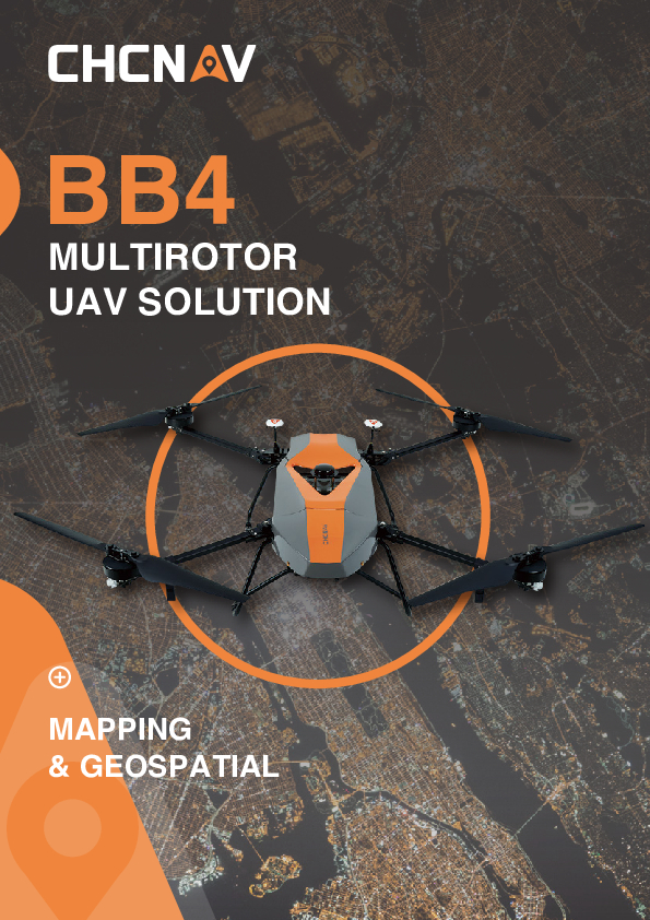
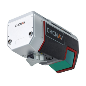
BB4 UAV
Professional UAV Platform for Reality Capture
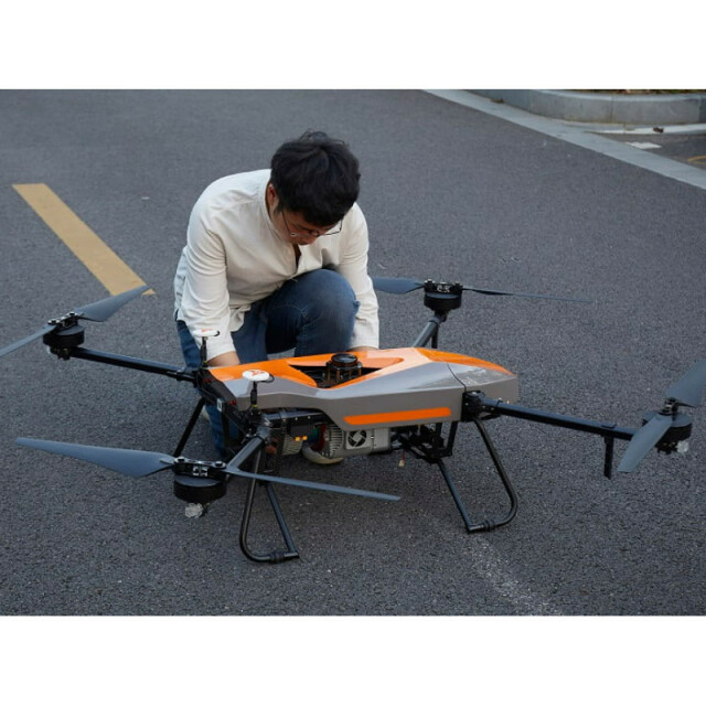
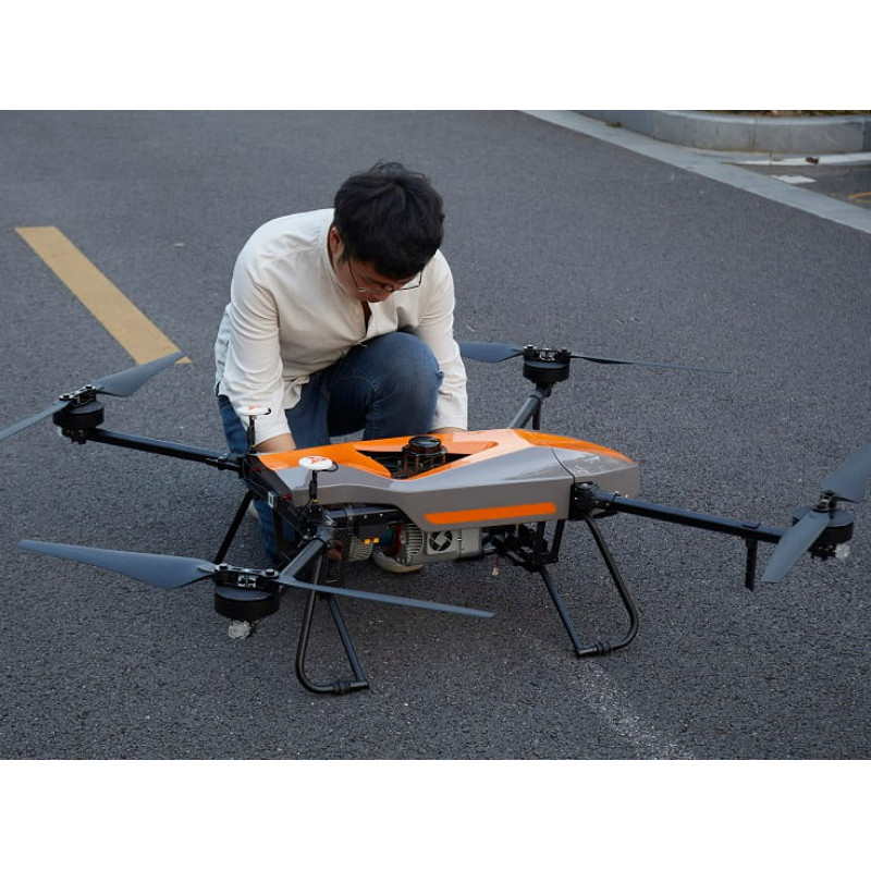
The BB4 is a high-performance quadcopter unmanned aerial system for professional imaging applications. It can carry the CHCNAV Lidar scanners with DSRL cameras for high-accuracy 3D point cloud generation or oblique cameras for 3D photogrammetry. With a setup time of only two minutes, the versatile BB4 offers up to 55 minutes of flight time with a 1 kg payload and up to 40 minutes with a 5 kg payload. The drone is controlled with the DJI Lightbridge 2 flight controller and a 5 km operating range.

CHC Navigation | CHCNAV
Shanghai, CN
Description
-
A STATE-OF-THE-ART MODERN PLATFORM
2 min for flight preparation
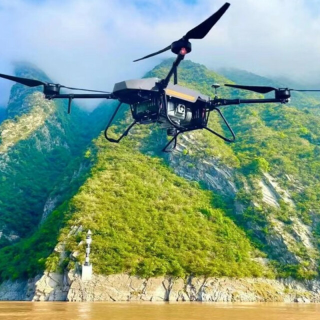
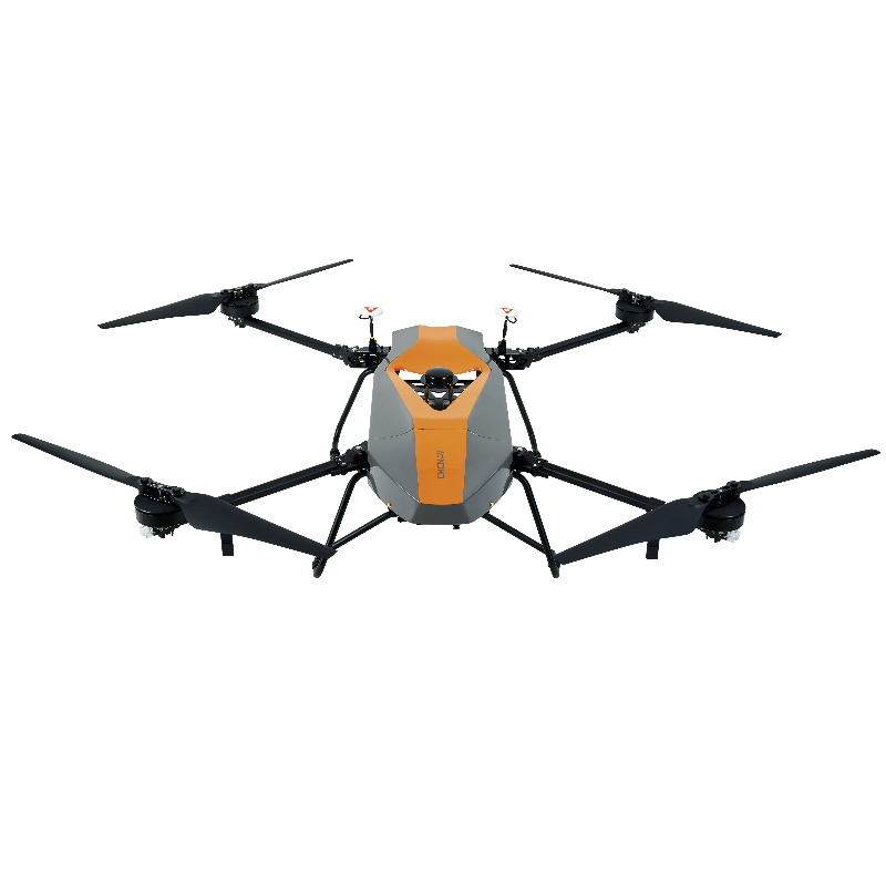
The BB4 UAV is specially designed for professional industrial applications. The modular design with pre-installed arms and antennas reduces the time required for setup, making the platform ready for use in just 2 minutes.
-
HIGH CAPACITY
Up to 7 kg payload
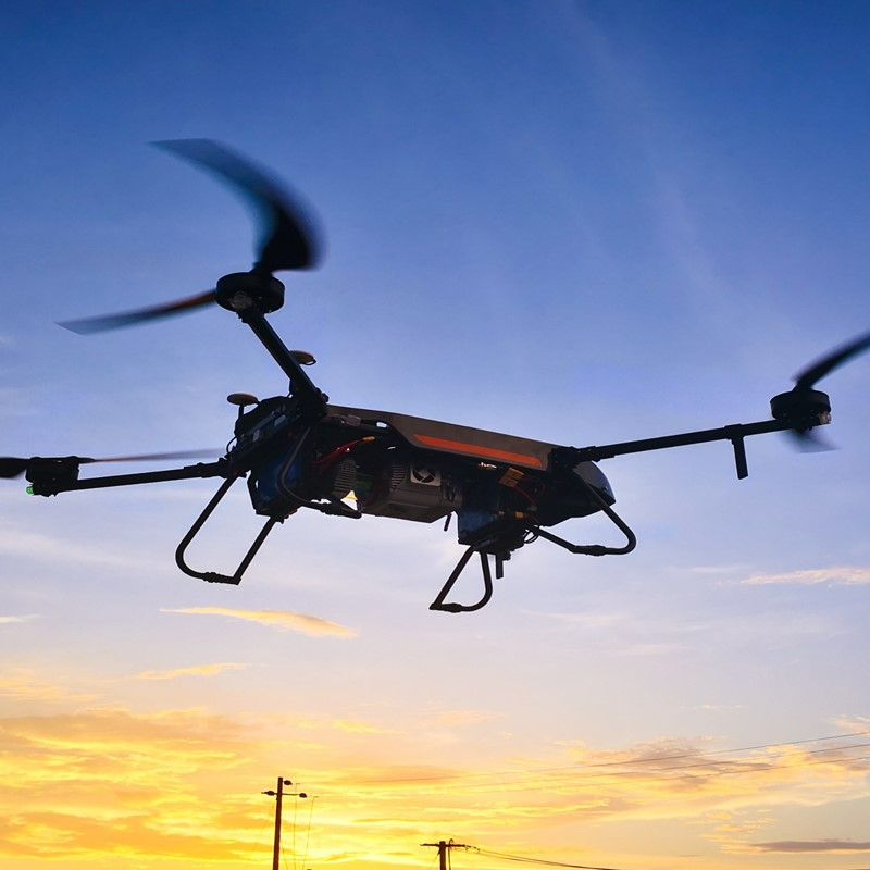
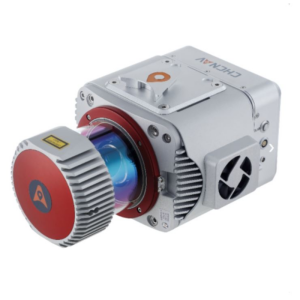
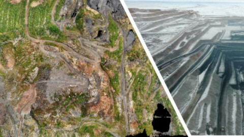
LiDAR weight is a constraint for any drone. The UAV needs to lift the entire payload; if not, no data acquisition is possible! The BB4 can carry our CHCNAV scanners with different DSRL cameras. 3D photogrammetry is possible with an oblique camera system. Users can also install multispectral cameras.
-
SURVEY-GRADE ACCURACY
1 cm +1 ppm RTK accuracy
The BB4 is equipped with dual DJI A3 IMUs and GNSS units that work together with CHCNAV's advanced positioning solution, consisting of a high-end GNSS receiver and an industry-leading IMU to meet the high accuracy requirements of the surveying and mapping industry.
-
INTELLIGENT AND FLIGHT-SIMPLIFIED OPERATION
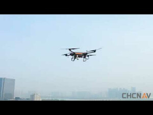
BB4 operated by DJI Ground Station Pro
Enhance the BB4's operation with the DJI GS Pro application. Conduct automated flight missions, manage flight data in the cloud, and collaborate across projects to efficiently manage your drone workflow.
The BB4 is a high-end unmanned aircraft system resulting from an alliance between the two industry leaders in their respective segments. Its scientific design and highly integrated production technology come from CHCNAV - a global manufacturer specialising in efficient geospatial measurement technologies - and its fully automated flight control system from DJI, the pioneer in commercial UAVs.
Do you have questions about this product?
- Questions about price, availability, and/or retailers
- Questions about technical specifications and usage
- Questions about suitability for your project or application
Specifications
-
Environment
-
Min. operation temperature [°C]
-10
Max. operation temperature [°C]
40
Max. wind speed [m/sec]
13
-
Imaging/scanning devices
-
Onboard imaging/scanning devices
RGB Camera, Lidar, Additional sensors
Type of Camera
CHC AS-C420 (calibrated Sony A7 RII)
Build-in Stablilsation
Y
Exchangeable
Y
Sensor tilting to allow oblique views
N
Type of Lidar
CHC AlphaUniXXX series, CHC ASXXX series, 3rd party LiDARS ≤7 kg weight
Additional Sensors and additional information
Other sensors, but request factory customisation and calibration
-
Platform
-
Platform
Copter
Brand
CHCNAV
Max. payload [kg]
7.1
Max. stay in the air [min]
55
Max. speed [km/h]
50.4
Max. height above sea level [m]
5000
Propulsion
4 propellers
Maximum rate of ascent
5 m/sec
Maxirum rate of descent
3 m/sec
Material
carbon fiber
-
Accessories
-
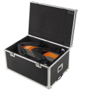
Transportation accessories
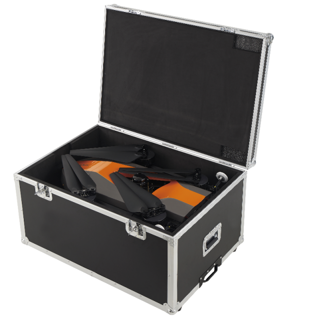
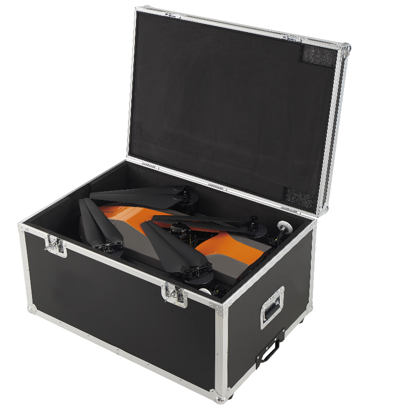
water, dust and quake proof transport container
Included batteries and charger
yes, 4x Li-Polymer batteries, 22000 mAh
-
Operation Characteristics and Safety
-
Min. ø of launch/landing site [m]
1
Launching method
Vertical takeoff and landing
Training provided
Y
Automatic launch and landing
Y
Autonomous emergency landing
Y
Collision avoidance systems (CAS)
Y
-
Dimensions
-
Height [cm]
44
Width [cm]
110
Length [cm]
110
Weight [kg]
10.9
Number of rotors
4
Transport on human back
N
-
Base Station
-
Ground computer included
Y
Type of Ground computer
DJI Lightbridge2
Sensor control
Y
Real time image and video download link
Y
-
Navigation Sensors
-
Type of GNSS receiver and captured signals
dual-frequency GNSS navigation, dual redundancy sensor design, fully-automatic work mode
Correction services [PPK, RTK]
support RTK and PPK
Velocity Measurement Accuracy
0.01 m
Positioning Accuracy
1 cm + 1 ppm
Height
2 cm + 1 ppm
-
General
-
Year of last update
2020
Typical applications
topographic survey, construction, asset inspections, mining, natural resources
Product Name
BB4
Models in series
yes
Product manual
yes
-
Included software and automatically generated
-
Type of software included
Flight planning, Photogrammetric software, Point cloud processing software
Automatically Generated Products
Point Clouds, 3D Landscape Models, DEMs, DTMs
Flight planning software
DJI GS PRO
Photogrammetric software
CoPre
Point cloud processing software
CoPre, CoProcess
Documents
Brochure
bb4-ds-en.pdf
1.99 MB


