
- Vercator Field App
Mobile based survey planning app
If you’ve ever needed to track scan positions on site, you’ll know how frustrating it is to try and map those locations with a pen and paper. Well, from now on you don’t have to! You can easily record your scanning and target locations as you move through a scene with the new Vercator® field app. Search Vercator on your app store.
Description
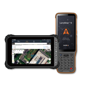
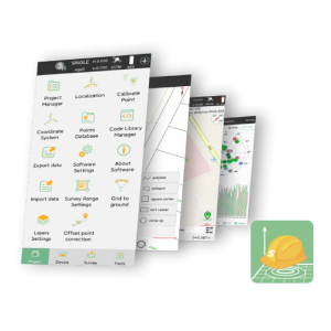
The Vercator mobile field app allows you to record your scan setup locations in the field as well as targets placed.
Load a hand-drawn sketch or even a 2D floor plan for greater accuracy to plot your network. Add new projects, levels and scan details, then simply drag scans to the right spot and link them together then share.
You can download the app from the Apple or Google stores:
Apple: https://itunes.apple.com/gb/app/vercato ... 67643?mt=8
Google: https://play.google.com/store/apps/deta ... e.Vercator
Specifications
-
Laser scanning
-
Laser scan data collection
Y
-
Photogrammetric data processing
-
Photo planning
Y
-
General
-
Mobile (real time connected to instrument)
Y
Laptop / Office computer (post processing)
N
-
More information
-
Distinguishable features
Scan planning and recording
