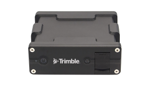
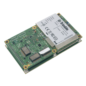
ApplanixPPK
Cloud-based PPK Web App Solution for UAV mapping sensors
Get the highest precision post-processing straight from our easy-to-use web app

Trimble Applanix
Richmond Hill, CA
Description
ApplanixPPK is an easy-to-use Web App Cloud Service to process precise kinematic GNSS position for UAVs and Drones. All you need is Rinex data from the drone and the base station to generate a highly accurate trajectory. No base station available? Use SmartBase or PP-RTX concept. Add the images and exposure time stamps to produce a file ready for photogrammetric mapping jobs. Learn more here.
Visit applanixppk.com to learn more!
Do you have questions about this product?
- Questions about price, availability, and/or retailers
- Questions about technical specifications and usage
- Questions about suitability for your project or application
Related products


