
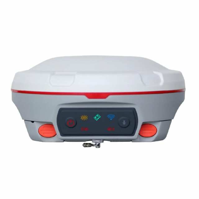
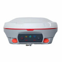


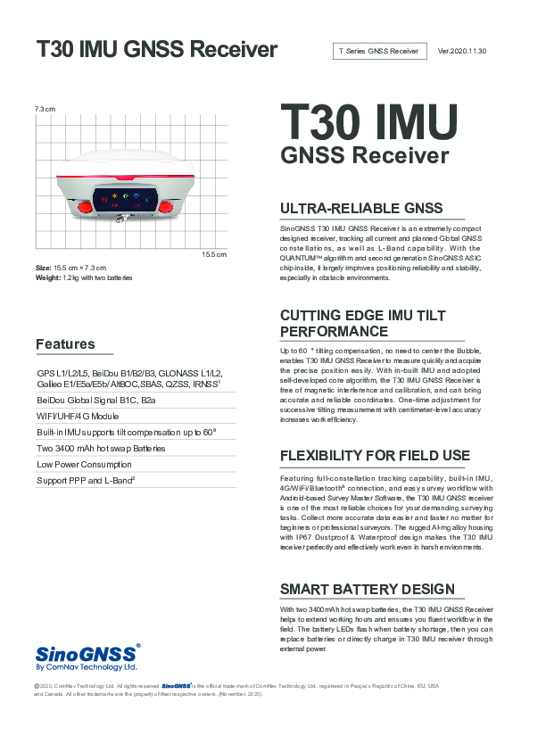
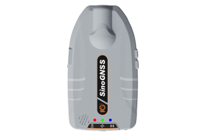
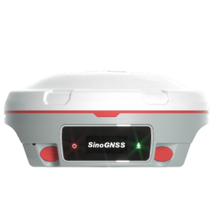
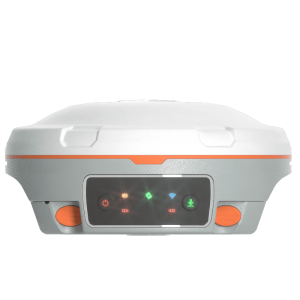
T30 IMU GNSS Receiver
This reliable IMU RTK Receiver provides a more convenient, reliable and effiecient solution for your field work
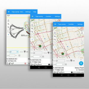
With built-in IMU engine, full-constellation tracking capability, 4G/WiFi/Bluetooth® connection and easy survey workflow with Android-based Survey Master Software, the T30 IMU GNSS receiver is an ideal choice for your survey task.

ComNav Technology
Shanghai, CN
Description
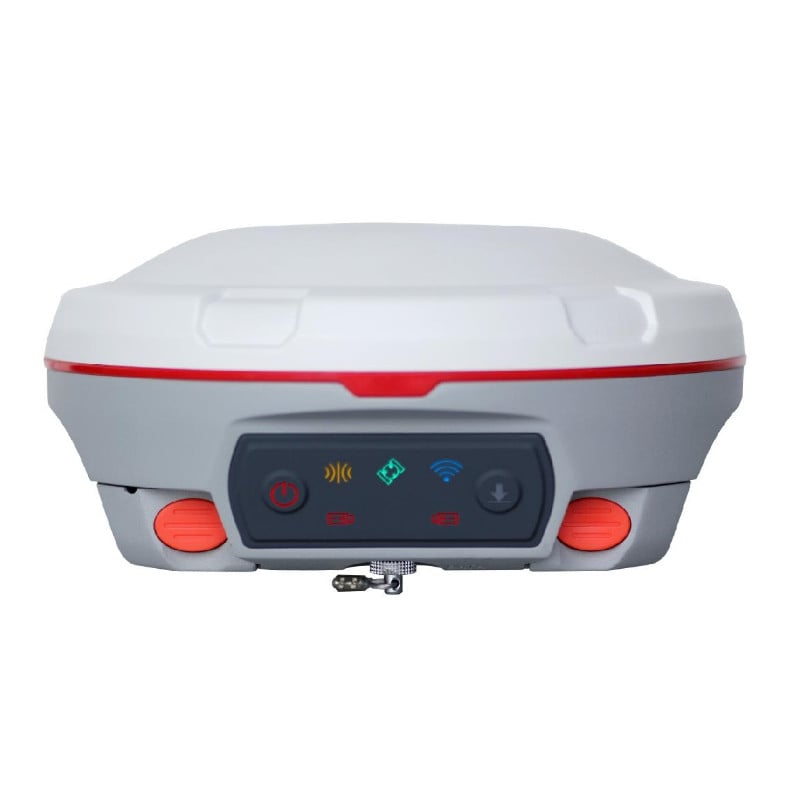
The T30 IMU receiver tracks 574 channels for all current and future satellites signals, including GPS, GLONASS, Beidou, Beidou global, Galileo, SBAS and L-Band. With built-in and calibration-free IMU, T30 IMU receiver supports up to 60° tilt survey within the accuracy of 2.5cm, providing a more convenient and reliable survey work. The T30 IMU receiver provides intuitive and easy survey workflow via Survey Master Wizard function, improving efficiency for beginners and professional surveyors.
Features
- GPS L1/L2/L5, BeiDou B1/B2/B3, GLONASS L1/L2, Galileo E1/E5a/E5b/AltBOC, SBAS, QZSS, IRNSS
- BeiDou Global Signal B1C, B2a
- WIFI/UHF/4G Module
- Built-in IMU supports tilt compensation up to 60°
- Two 3400 mAh hot-swap Batteries
- Low Power Consumption
- Support PPP and L-Band
- Support Long Baseline E-RTK
Do you have questions about this product?
- Questions about price, availability, and/or retailers
- Questions about technical specifications and usage
- Questions about suitability for your project or application
Specifications
-
General
-
Type
Land, Marine
Year of initial introduction
2020
Height [m]
7.3
Depth [m]
15.5
Width [m]
15.5
Total Weight [kg]
1.2
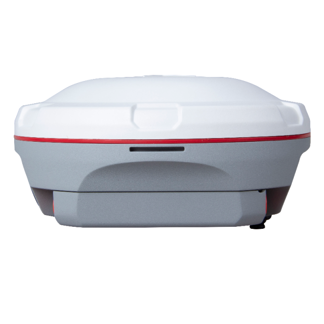
Housing Material
Magnesium-aluminium
-
Performance
-
No. channels
574
Max. simultaneous tracked channels
574
Tracked satellite signals
GPS L1/L2/L5, BeiDou B1/B2/B3, BeiDou Global B1C/B2a, GLONASS L1/L2, Galileo E1/E5a/E5b/AltBOC, QZSS, IRNSS
SBAS differential signals
WAAS, EGNOS, MSAS, GAGAN
Type of measurements
RTK, PPK, Static
Reacqisition time [s]
1.5
RTK Network Compatibility
Y
-
Environment
-
Operating temperature: min. [°C]
-40
Operating temperature: max. [°C]
65
Humidity resistance
100% no-condensing
Water sand and dust proof
IP67
Shock and vibration proof
2m drop
-
Communication: general
-
Communication ports
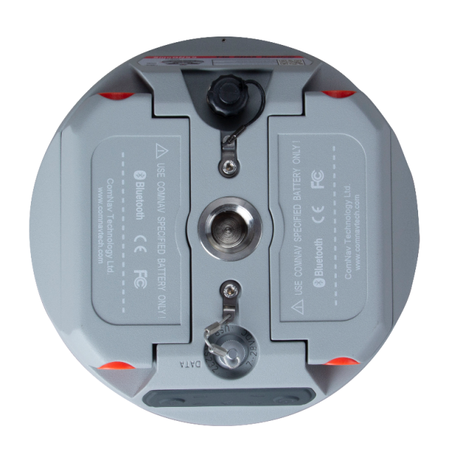
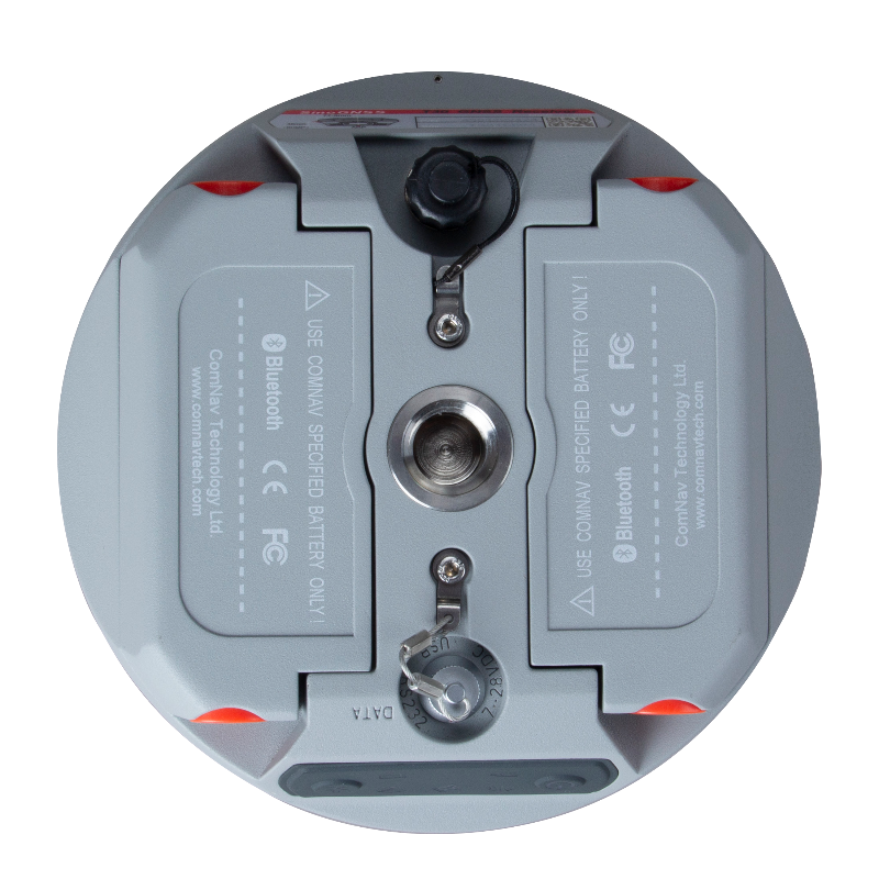
1 serial port (7 pin Lemo), 1 TNC port
Simultaneous links
Y
PPS Out
N
Bluetooth
Y
-
Communication: Protocols
-
RTCM standards for differential data
RTCM 2.X, 3.X
CMR standards for differential data
CMR, CMR+
NMEA output format
NMEA 0183
other output formats
ComNavBinary(CNB), BINEX
L-Band Compatible
Y
Configuration method
PC, survey software
-
Communication: links
-
Radio modems
Tx/Rx with full frequency range from 410-470 MHz5
GSM; UMTS phone modems
Support 4G, Point to Point/Points and NTRIP
-
Horizontal uncertainty
-
code: DGNSS/RTC (constant part) [m]
0.4
phase: RTK kinematic (constant part) [m]
0.008
phase: RTK kinematic (variable part) [ppm]
1
phase: static post processing (constant part) [m]
0.003
phase: static post processing (variable part) [ppm]
0.1
phase: kinematic post processing (constant part) [m]
0.008
phase: kinematic post processing (variable part) [ppm]
1
RTK network solution methods
VRS
-
Power
-
Operating power: min. [V]
5
Operating power: max. [V]
27
Typical consumption [W]
2.7
Internal power supply
7.4 V
External power supply
5-27 VDC
Operating time with internal power supply [hr]
15
Certifications
FCC, CE
Rechargeable with (auto)battery
Y
-
Recording
-
Memory medium
Internal
Data capacity [MB]
8192
Type of data (on board recording)
ComNavBinary
-
More information
-
Distinguishable features
Built-in IMU supports up to 60° tilt compensation
Documents
Brochure
sinognss-t30-imu-gnss-receiver.pdf
6.11 MB
Other documents
-
T30 IMU GNSS Receiver1.24 MB

