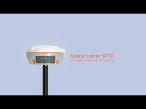


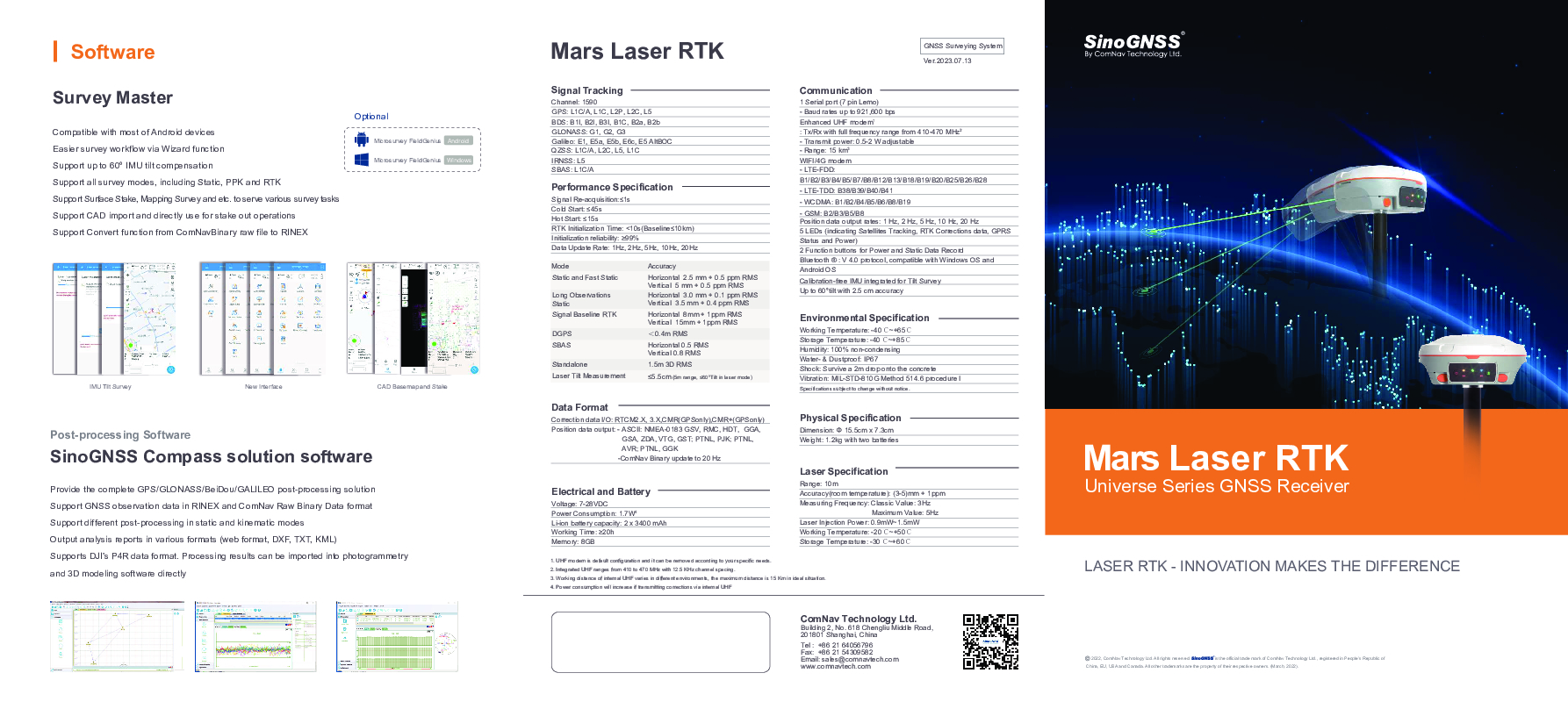
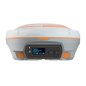
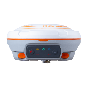
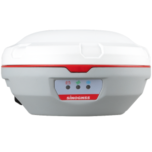
Mars Laser RTK
Revolutionizing Surveying: The Mars Laser RTK – A State-of-the-Art Integration of GNSS, IMU, and Laser Technologies for Unprecedented Precision and User Comfort.
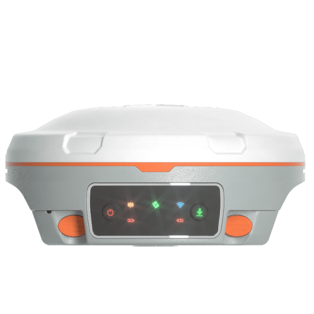
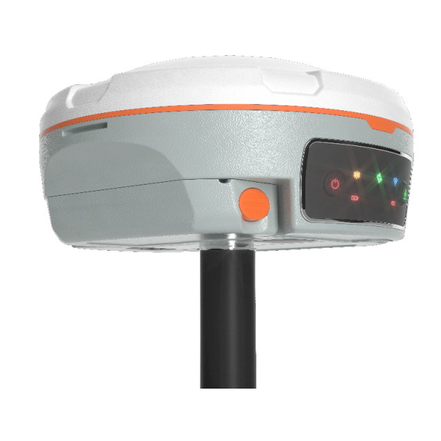
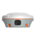
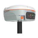
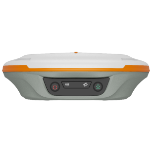
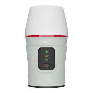
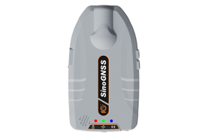
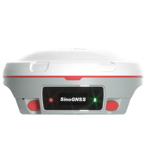
The Mars Laser RTK is an innovative GNSS receiver that integrates the most advanced GNSS, IMU, and laser technologies. It melds GNSS receiver and laser technology, shattering usual constraints in land survey, construction, and GIS applications. It ensures precision and minimizes user fatigue, crafting an impressive surveying experience. With this state-of-the-art RTK module, Mars Laser RTK will perform at its highest levels, making it the best choice for surveyors.

ComNav Technology
Shanghai, CN
Description
Features:
- 1590 channels and 50+ satellites tracking capabilities
- Tracking all running and planned constellations, including GPS, BDS-2, BDS-3, GLONASS, Galileo, QZSS and SBAS
- Up to 60°tilt with 2.5 cm accuracy
- IP67 dust- and waterproof for harsh environments
- 20+ hrs non-stop use
- Equipped with Quick Charge
Do you have questions about this product?
- Questions about price, availability, and/or retailers
- Questions about technical specifications and usage
- Questions about suitability for your project or application
Specifications
-
General
-
Type
Land
Year of initial introduction
2023
Height [m]
0.07
Width [m]
0.15
Total Weight [kg]
1.2
Housing Material
magnesium aluminum alloy
-
Performance
-
No. channels
1590
Tracked satellite signals
GPS, BeiDou, GLONASS, Galileo, QZSS, SBAS, NAVIC
SBAS differential signals
Yes
Reacqisition time [s]
≤1s
RTK Network Compatibility
Yes
MRS functionality
Yes
-
Environment
-
Operating temperature: min. [°C]
-20
Operating temperature: max. [°C]
60
Humidity resistance
100% non-condensing
Water sand and dust proof
Yes, IP67
Shock and vibration proof
Survive a 2m drop onto the concrete
-
Communication: general
-
Communication ports
Serial ports, USB
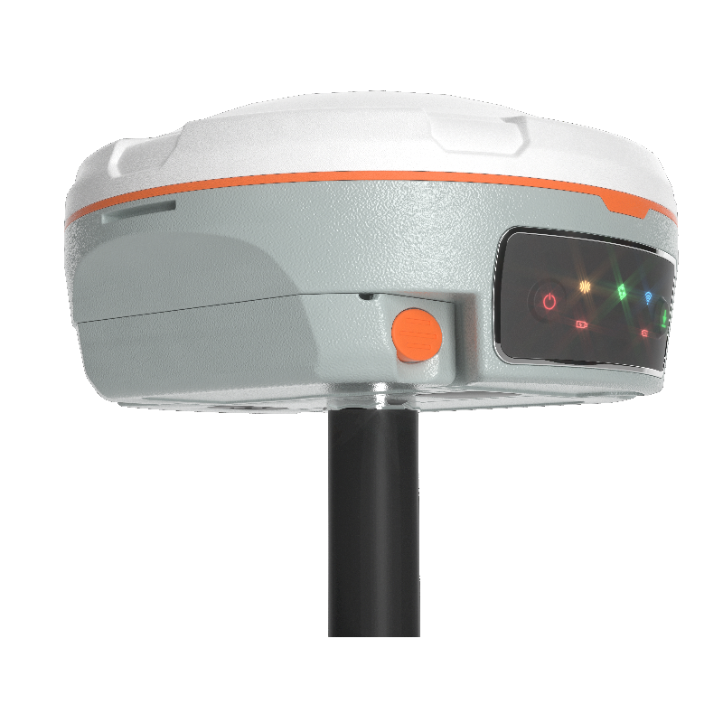
Bluetooth
Y
-
Communication: Protocols
-
RTCM standards for differential data
RTCM 2.X, 3.X
CMR standards for differential data
CMR (GPS only), CMR+ (GPS only)
Other formats for differential data
ComNav Binary
NMEA output format
NMEA-0183
other output formats
ComNav Binary
L-Band Compatible
Y
Configuration method
PC, Survey software, web interface
-
Communication: links
-
Radio modems
410-470 Mhz
GSM; UMTS phone modems
Yes
CDMA phone modems
Yes
-
Horizontal uncertainty
-
code: DGNSS/RTC (constant part) [m]
1.5 m 3D RMS
phase: RTK rapid static (constant part) [m]
0.0025
phase: RTK rapid static (variable part) [ppm]
0.5
phase: RTK kinematic (constant part) [m]
0.008
phase: RTK kinematic (variable part) [ppm]
1
phase: static post processing (constant part) [m]
0.003
phase: static post processing (variable part) [ppm]
0.1
phase: kinematic post processing (constant part) [m]
0.08
phase: kinematic post processing (variable part) [ppm]
1
Initialization time on the fly [s]
10
RTK network solution methods
VRS, FKP, MAC
-
Power
-
Operating power: min. [V]
7
Operating power: max. [V]
28
Typical consumption [W]
1.7
Internal power supply
6800 mAh, 7.4V
External power supply
7-28VDC
Operating time with internal power supply [hr]
20
Certifications
CE
Rechargeable with (auto)battery
Yes
Direct car connection cable available
Yes
Connectors
7-pin Lemo port, USB port
-
Recording
-
Memory medium
8 GB default, 16 GB and 32 GB available
Type of data (on board recording)
ComNavBinary, Rinex
Data input
8000
-
More information
-
Distinguishable features
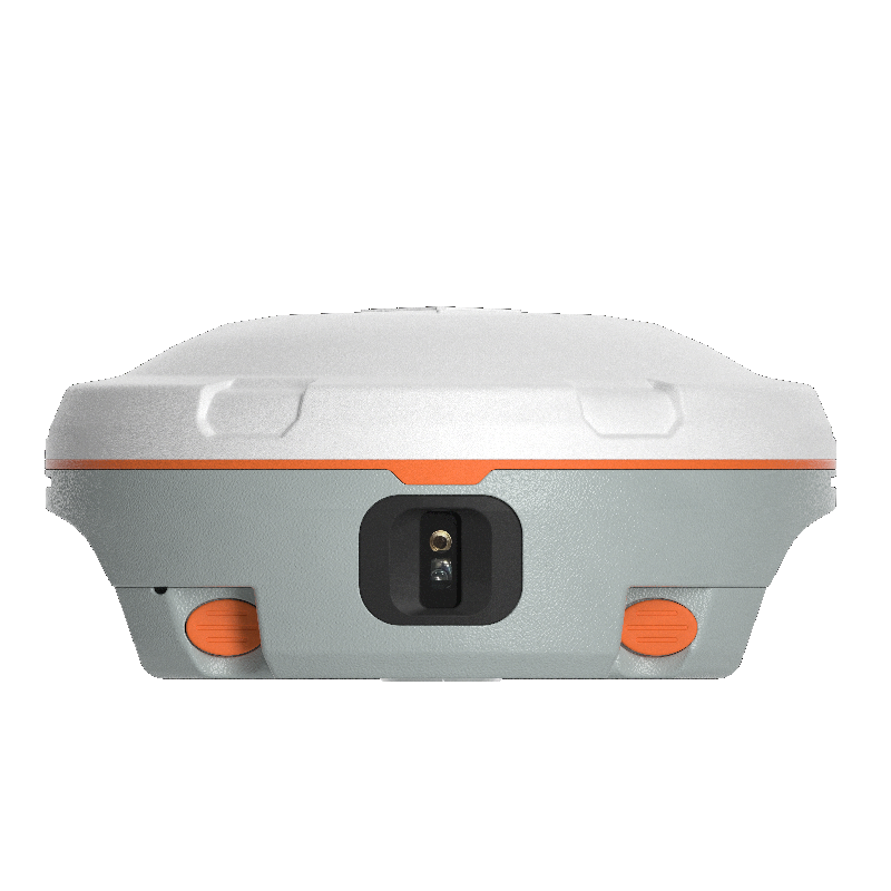
Laser can replace the range pole to work in laser mode
Documents
Brochure
sinognss-mars-laser-rtk-0.pdf
1.05 MB
Other documents
-
SinoGNSS Mars Laser RTK1.05 MB
Videos
