


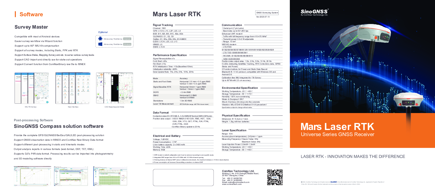
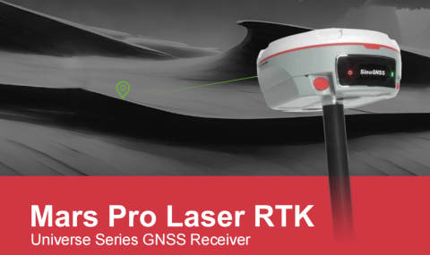
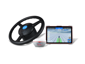
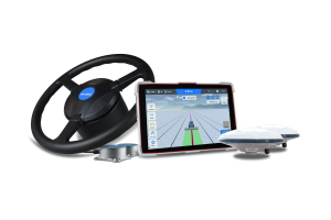
Mars Pro Laser RTK
Elevate Your Precision: Introducing Mars Pro - The Ultimate GNSS Receiver for Complex Surveying and High-Precision Operations
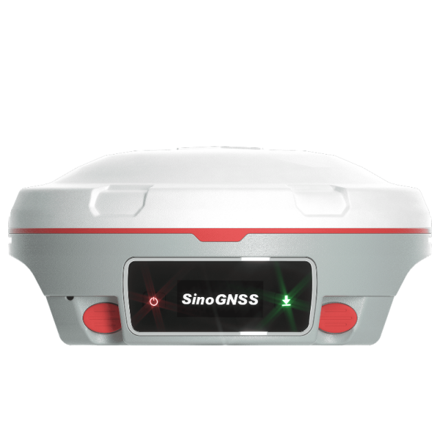
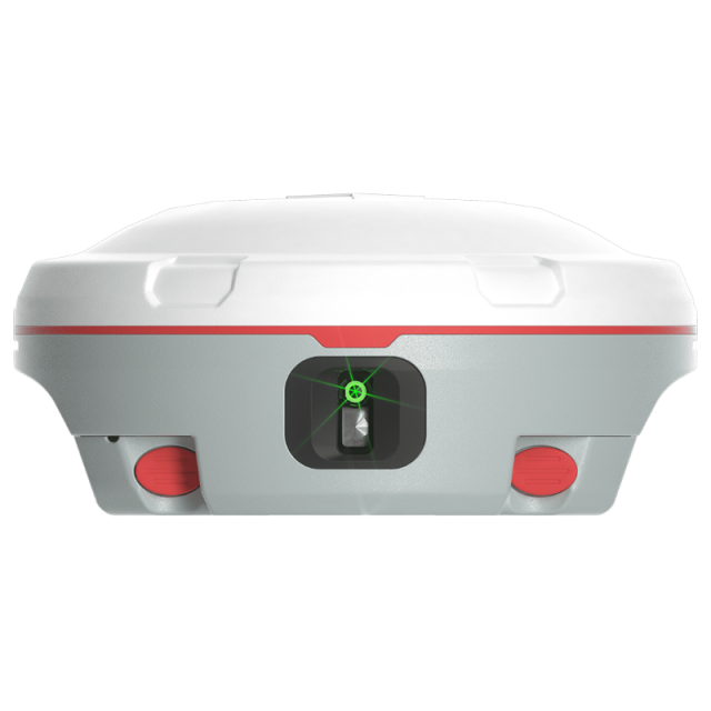
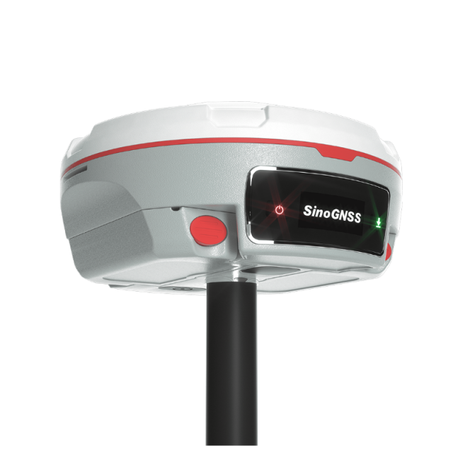
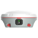
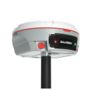
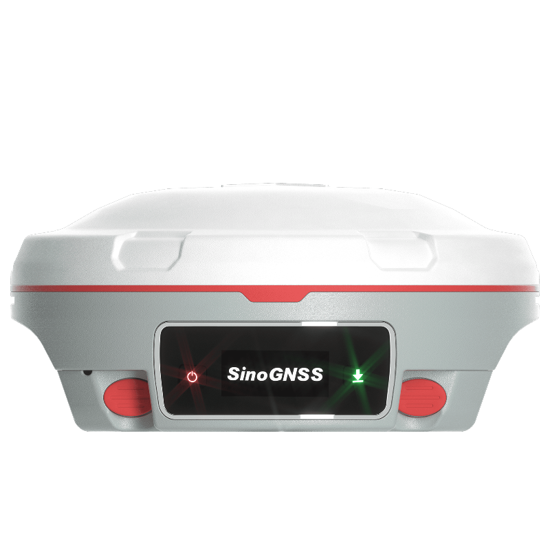
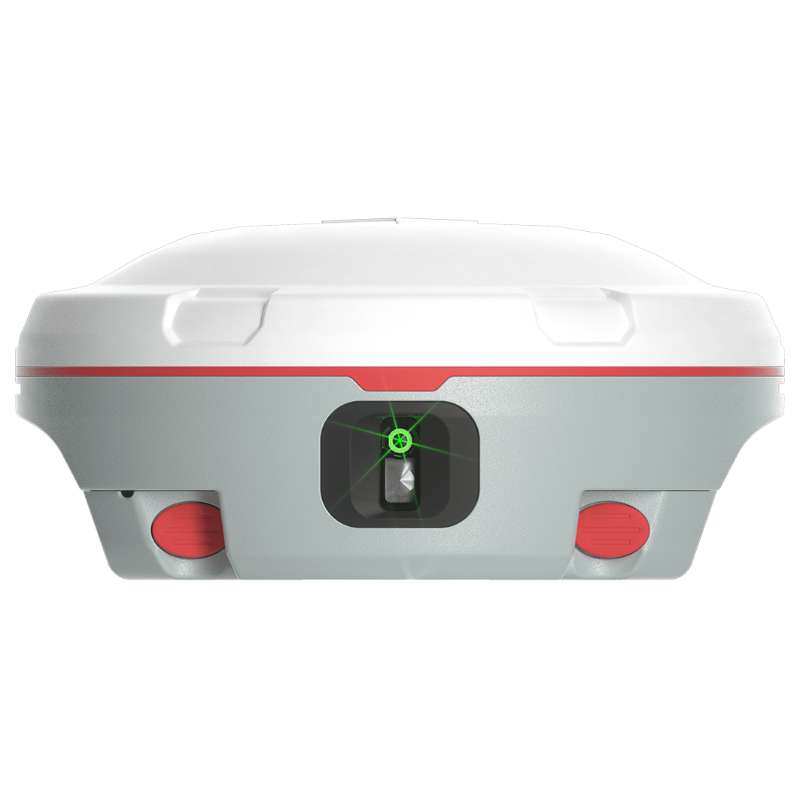
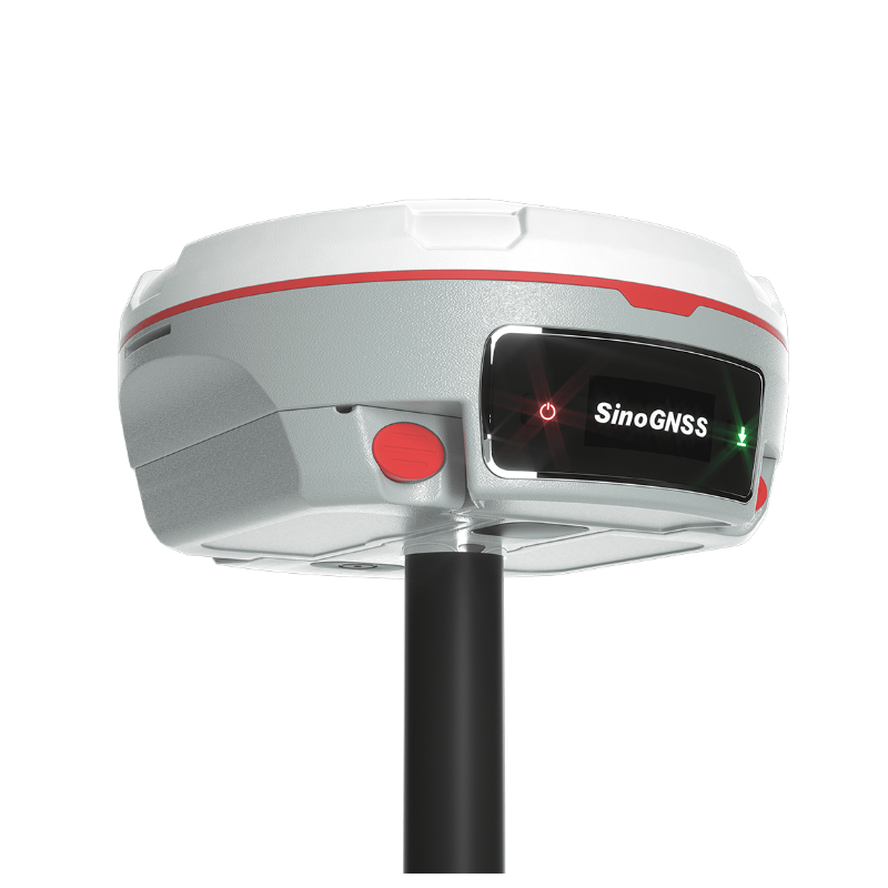
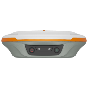
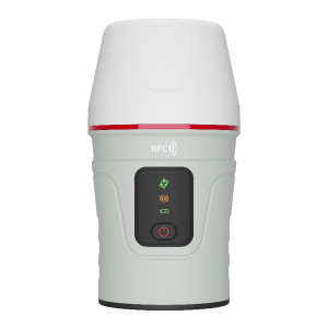
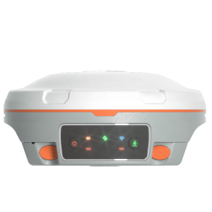
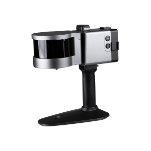
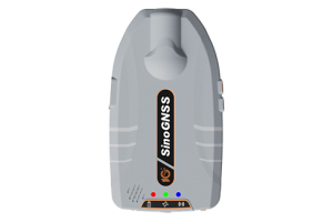
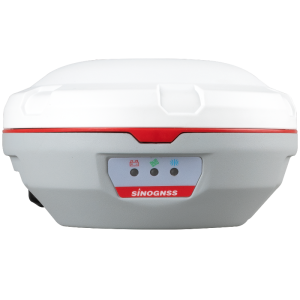
The Mars Pro is an ultra-reliable GNSS receiver with a millimeter-level laser, enabling it to handle complex surveying tasks with unmatched precision, for example, in hard-to-reach, signal-obstructed, and dangerous fields. Mars Pro also features a sunlight-readable OLED color display for user-friendly, high-end operations. Breaking the usual constraints in land surveying, construction, and GIS, it is the go-to choice for professionals looking to elevate their work.

ComNav Technology
Shanghai, CN
Description
Features:
-
1668 channels and 60+ satellites tracking capabilities
-
Tracking all running and planned constellations, including GPS, BDS-2, BDS-3, GLONASS, Galileo, QZSS, IRNSS and SBAS
-
Up to 60°tilt with 2.5 cm accuracy
-
IP67 dust- and waterproof for harsh environments
-
Up to 20 hrs non-stop use
-
Enabling broader use through extensive protocol support, including Transparent/TT450S/SATEL/Trimtakl3/CHC/South
Do you have questions about this product?
- Questions about price, availability, and/or retailers
- Questions about technical specifications and usage
- Questions about suitability for your project or application
Specifications
-
General
-
Type
Land
Year of initial introduction
2023
Height [m]
0.07
Width [m]
0.15
Total Weight [kg]
1.2
Housing Material
magnesium aluminum alloy
-
Performance
-
No. channels
1668
Tracked satellite signals
GPS, BeiDou, GLONASS, Galileo, QZSS, SBAS, IRNSS
SBAS differential signals
Yes
Reacqisition time [s]
≤1s
RTK Network Compatibility
Yes
MRS functionality
Yes
-
Environment
-
Operating temperature: min. [°C]
-40
Operating temperature: max. [°C]
65
Humidity resistance
100% non-condensing
Water sand and dust proof
Yes, IP67
Shock and vibration proof
Survive a 2m drop onto the concrete
-
Communication: general
-
Communication ports
Serial ports, USB
Bluetooth
Y
-
Communication: Protocols
-
RTCM standards for differential data
RTCM 2.X, 3.X
CMR standards for differential data
CMR (GPS only), CMR+ (GPS only)
Other formats for differential data
ComNav Binary
NMEA output format
NMEA-0183
other output formats
ComNav Binary
L-Band Compatible
Y
Configuration method
PC, Survey software, web interface
-
Communication: links
-
Radio modems
410-470 Mhz
GSM; UMTS phone modems
Yes
CDMA phone modems
Yes
-
Horizontal uncertainty
-
code: DGNSS/RTC (constant part) [m]
1.5m 3D RMS
phase: RTK rapid static (constant part) [m]
0.0025
phase: RTK rapid static (variable part) [ppm]
0.5
phase: RTK kinematic (constant part) [m]
0.008
phase: RTK kinematic (variable part) [ppm]
1
phase: static post processing (constant part) [m]
0.003
phase: static post processing (variable part) [ppm]
0.1
phase: kinematic post processing (constant part) [m]
0.08
phase: kinematic post processing (variable part) [ppm]
1
Initialization time on the fly [s]
10
RTK network solution methods
VRS, FKP, MAC
-
Power
-
Operating power: min. [V]
7
Operating power: max. [V]
28
Typical consumption [W]
1.7
Internal power supply
6800mA 7.4V
External power supply
7-28VDC
Operating time with internal power supply [hr]
20
Certifications
CE
Rechargeable with (auto)battery
Yes
Direct car connection cable available
Yes
Connectors
7-pin Lemo port, USB port
-
Recording
-
Memory medium
8GB default, 16GB and 32GB available
Type of data (on board recording)
ComNavBinary, Rinex
Data input
8000
-
More information
-
Distinguishable features
Laser can replace the range pole to work in laser mode; Enabling broader use through extensive protocol support, including Transparent/TT450S/SATEL/Trimtakl3/CHC/South
Documents
Brochure
sinognss-mars-laser-rtk.pdf
6.53 MB
Videos
