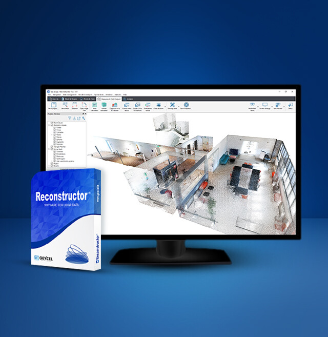


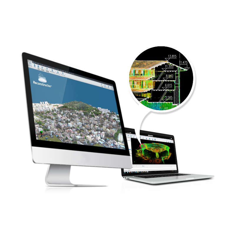
Reconstructor
THE POWERFUL PROCESSING SOFTWARE FOR LIDAR DATA
Reconstructor is a multi-sensor and multi-resolution software composed of a core module and two add-ons for Colour and Mining applications and one specific for HERON data. Educational version available.

GEXCEL
Brescia, IT
Description
Reconstructor is a multi-sensor and multi-resolution software composed of a core module and two add-ons for Color and Mining applications and one specific for HERON data processing. Educational version available.
Main features:
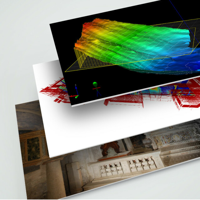
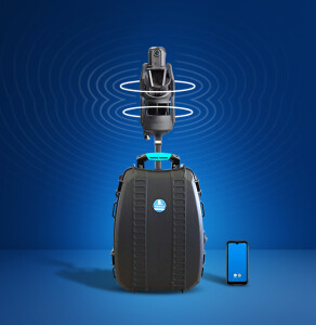
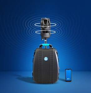
Processing of point clouds from several laser scanners: terrestrial, handheld, slam, mobile, and airborne.
Integration of point cloud models from UAV and photogrammetric surveys.
Automatic target-less registration of 3D scans from various instruments.
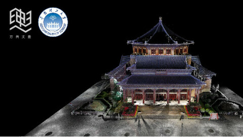
Colourization of point clouds with RGB images from high-res cameras.
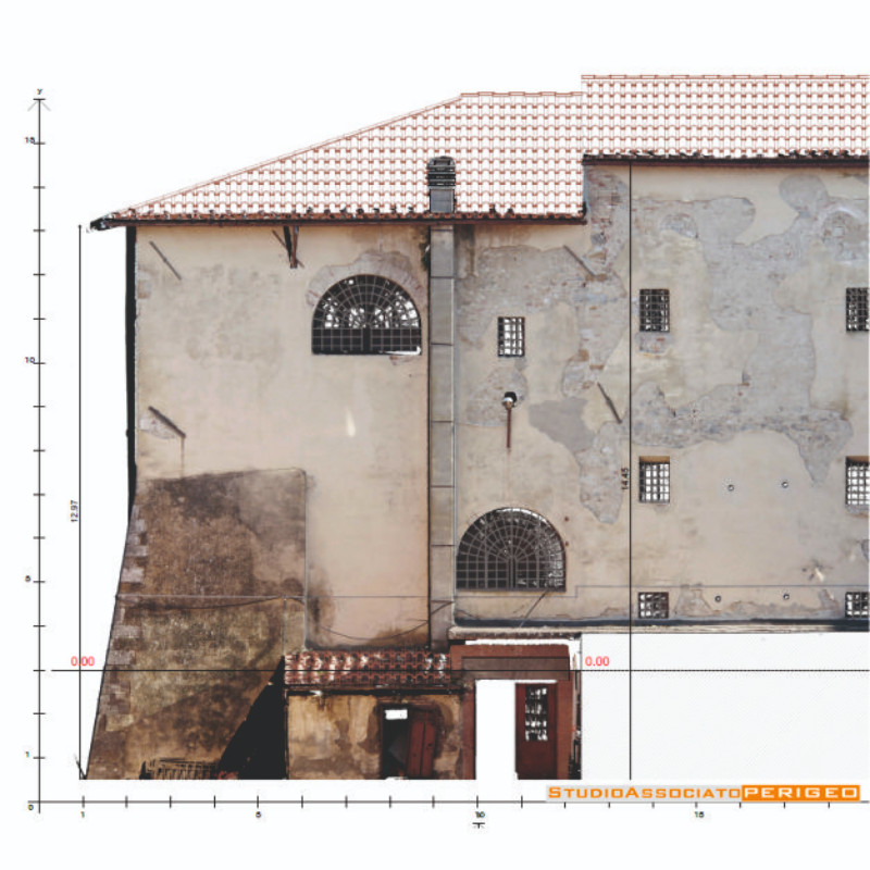
Creation of mesh models - Computation of volumes, areas, profiles, and contour lines.
Direct export of outputs and formats to the main third-party software (e.g. ReCap Pro).
Do you have questions about this product?
- Questions about price, availability, and/or retailers
- Questions about technical specifications and usage
- Questions about suitability for your project or application
Specifications
-
Hardware/software requirements
-
RAM [GB]
32
HD [GB]
4
Use of GPU
Y
Stereo Display
N
Processor
AMD Ryzen 7/Ryzen 9 or Intel Core i7/ Core i9/Xeon or equivalent, 4 or more physical cores, on a single CPU socket
Stand-alone
Yes
List software environment, e.g. Microstation
-
-
Other
-
Support
Yes, Phone, Email, Live
Typical applications
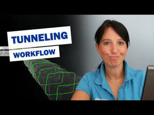
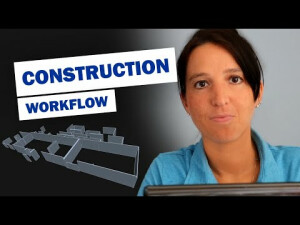
Construction, Heritage, Mining, Tunnelling, Forensic
Distinguishing features
Automatic target less registration, 3D texturized mesh, Inspection, High quality orthophoto generation, Support of all common scanner formats
Training
Y
-
Files and Registering
-
Input formats
Point clouds from LiDAR, UAV, total station in open formats (txt, LAS, E57, ptx, pts, asc, ply) | Scans from 3D laser scanner manufacturers (.fls, .zfs, .rxp, .3dd, .x3s, .x3m, .clr, .cl3, .dp, .ixf, .nctri) | Meshes CAD models and polylines (.dxf, .ifc, .stl, .wrl, .vrml, .3ds, .ply, .obj, .dae) | Projects from RIEGL RiSCAN PRO, Z+F LaserControl (thermal camera included) | FARO Scene and TOPCON | Raw scans colorization (FARO and TOPCON)
Output formats
Point clouds txt, LAS, E57, ptx, pts, asc, ply, ptc, ixf) | 3D mesh models (dxf, stl, wrl, 3ds, ply, obj, dae) | Cross sections, edges, polilines (dxf, txt) | Maps, orthofoto, spherical and cylindrical views (bmp and standard image formats) | Inspection report (pdf) | Volume report (pdf) | Volume and cut&fill report (pdf) | Videos (avi)
Geo-referencing
Y
Automatic Target Detection
Y
Stitching multiple scans
Y
-
Pre-processing and Automatic Filtering
-
Image matching facilities
Y
Removal of individual outliers
Y
Removal of vegetation
Y
Removal of buildings
N
Bare ground DEM generation
Y
-
Manual Measurements
-
3D Coordinates extraction
Y
Length and Height
Y
Angle
Y
Distance
Y
Area
Y
Volume
Y
-
Interoperability
-
CAD software
AutoCAD, Revit, ArchiCAD, AllPlan, BricsCAD
Hydrological software
No
Assigning colour from imagery to points
Y
Image overlay on TIN
Y
Integration with other data types
Yes: floor plans, engineering drawings, tiff images
-
General
-
Year of last update
2024
Year of initial introduction
2007
Modules
Base, Mining, Color, Heron
Supported Systems
HERON, Faro, Riegl, Zoller+Frölich, Stonex, Teledyne-Optech, Topcon, Trimble, Isurestar, DotProduct
Source of Point Clouds
Airborne Lidar, Indoor TLS, Outdoor TLS, Photogrammetric, Radar
-
Analysis
-
Line of sight
N
Aspect and slope
Y
Individual tree heights
N
Simulation facilities
No
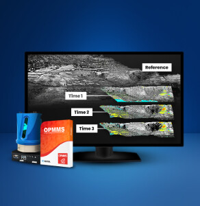
Time series analysis
Y
-
Automatically Generated Products
-
Regular Grid DEMs
Y
Cross sections
Y
TIN
Y
Contour Lines
Y
Break lines
Y
Boundary detection of solids
Y
Building footprints
N
Building roofs
N
3D City modelling
-
-
Solid Modelling
-
Lines
Y
Planes
Y
Cubes
Y
Spheres
Y
Cylinders
Y
NURBS
N
Industrial features
No
Earth surface features
DEM models
-
Visualisation and Editing
-
Zoom, pan and rotate
Y
Fly-throughs
Y
Adding Points
Y
Removing Points
Y
Point Reduction
Y
Documents
Other documents
-
SuccessCase - Classification mapping529.29 KB
-
SuccessCase - Non-invasive architectural diagnosis508.1 KB
-
SuccessCase - Cultural heritage survey386.85 KB
-
SuccessCase - Underground archaeological survey583.6 KB
-
SuccessCase - Earthquake deformations check438.51 KB


