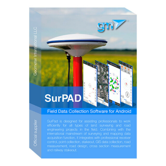
Android mobile application SurPAD for surveyors
SurPAD Android Software Is a Low-Cost Solution That Allows You to Perform Professional Surveying Services
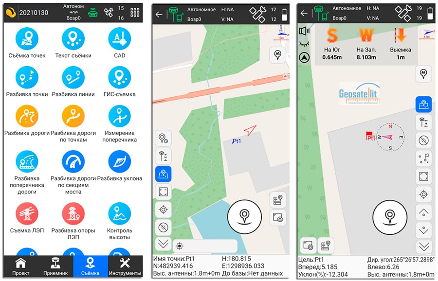
Perform work with points, capture points in statics, stake-out, supports Stop & Go, has a road module, CAD module, power lines and many other features. For correct work use a complete set with RTK receivers.
Geometer International LLC
Dnipro, UA
Description
SurPAD Android software is a low-cost solution that allows you to perform professional surveying services, perform work with points, capture points in statics, stake-out, supports Stop & Go, has a road module, CAD module, power lines and many other features. For correct work use a complete set with RTK receivers.
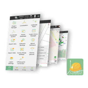
SurPAD - Android software for configuring GNSS receivers and performing field work in RTK mode. The SurPAD application allows you to adjust the coordinate system, capture points in RTK mode, survey and work with the data.
SurPAD has localizations in English, Portuguese, Polish, Spanish, Turkish, Russian, Italian, Hungarian, Swedish, Serbian, French, Bulgarian and Czech.
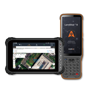
As a controller, you can use your tablet or smartphone with Android, which will be installed licensed software SurPAD.
To install the software you will need a device with the following minimal technical parameters:
| Operating system | Android, version 9.0 and above |
| Google Mobile Services (GMS) | necessarily (Google Maps, Play Market) |
| RAM | 2 Gb and more |
| Bluetooth | yes |
| Wi-Fi | yes |
| SIM-Card | optional if you need an online tracking feature |
Specifications
-
GNSS data and processing
-
GNSS static / RTK data collection
Y
GNSS setting out
Y
Base and rover RTK
Y
-
General
-
Mobile (real time connected to instrument)
Y
Laptop / Office computer (post processing)
Y
-
Integrated environment for
-
GNSS data
Y

