


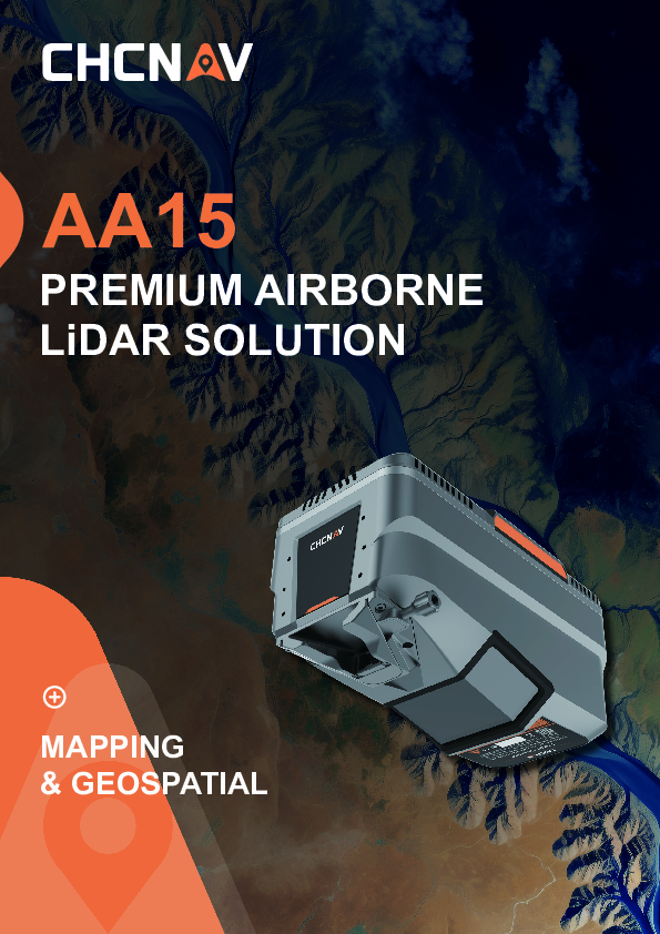
AlphaAir 15
Premium Airbone LiDAR Solution
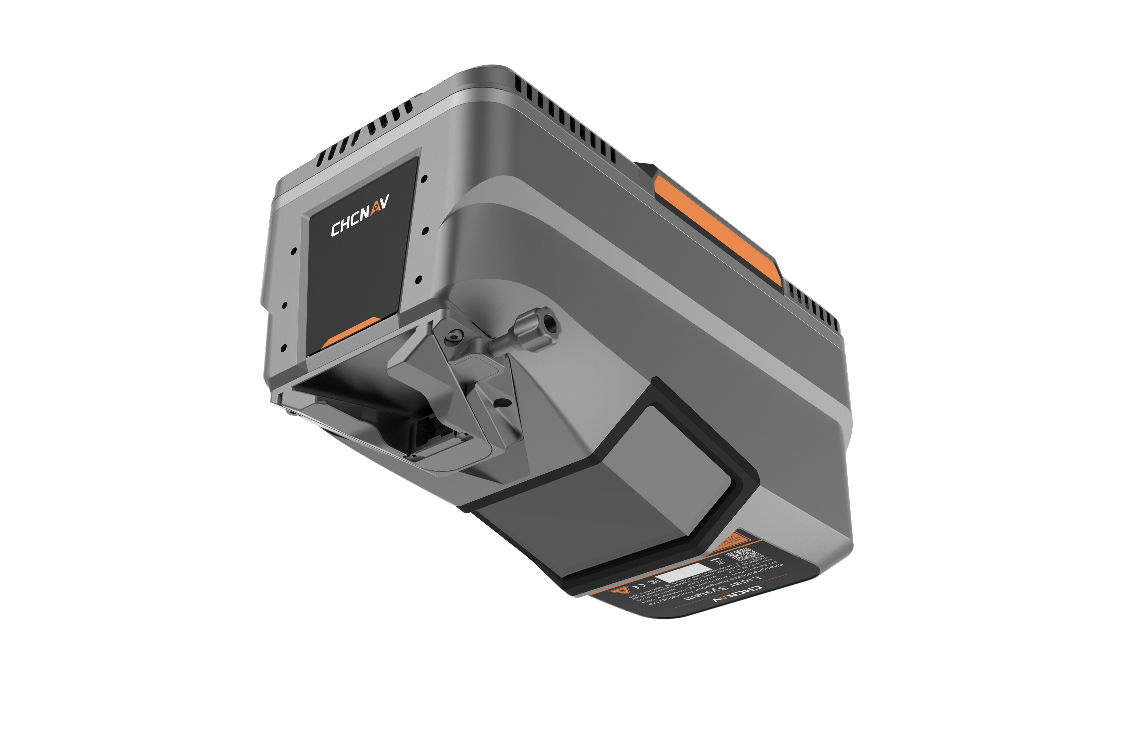
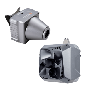
The AlphaAir 15 (AA15) is a lightweight airborne LiDAR system developed by CHCNAV. It combines long-range scanning capability and high accuracy with an extremely fast data acquisition rate, all in a compact design. The AA15 is ideal for scenarios where high density data is required to accurately extract building and road information from point clouds. For large-scale operations, especially in mountainous areas with significant elevation changes, the AA15 accurately detects ground features even at the bottom of valleys. Equipped with a variety of cameras to meet diverse needs, the system can be mounted on light aircraft, helicopters or UAV platforms.

CHC Navigation | CHCNAV
Shanghai, CN
Description
HIGH-PRECISION POINT CLOUD GENERATION
Utilizing CHCNAV's patented tilted-prism technology, the AA15 delivers 15 mm linear accuracy on long-range scans up to 150 meters. This innovative technology supports echo digitization and online waveform processing. With a continuously rotating polygon mirror, the AA15 achieves scan speeds of up to 600 lines per second, combined with 2 million pulses per second, resulting in high-density point clouds that recreate the world with remarkable precision.
PREMIUM QUALITY IMAGES COLLECTION
The AA15 supports several external camera accessories for high-resolution imaging needs, including CHCNAV's 45 or 61 MP full-frame calibrated cameras and a 130 MP half-frame oblique camera. Users can also integrate cameras from third-party oblique or ortho-camera manufacturers. The combination of high-density point clouds and high-resolution imagery facilitates rapid mesh model construction and provides detailed texture information.
ADVANCED VEGETATION PENETRATION
The AA15 excels in vegetation penetration thanks to its advanced multi-target capability that supports up to 16 returns per laser pulse and 7 multi-period zone processing. With a high point frequency of 2 million pulses per second, the AA15 increases the probability of laser penetration through vegetation, making it easier to obtain more ground points.
DIVERSE AIRBORNE PLATFORM COMPATIBILITY
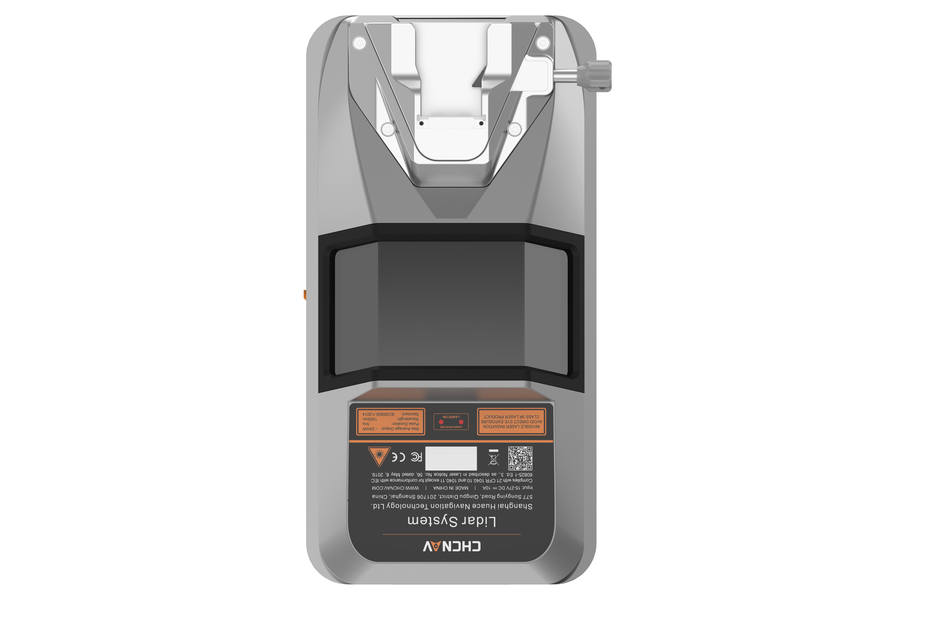
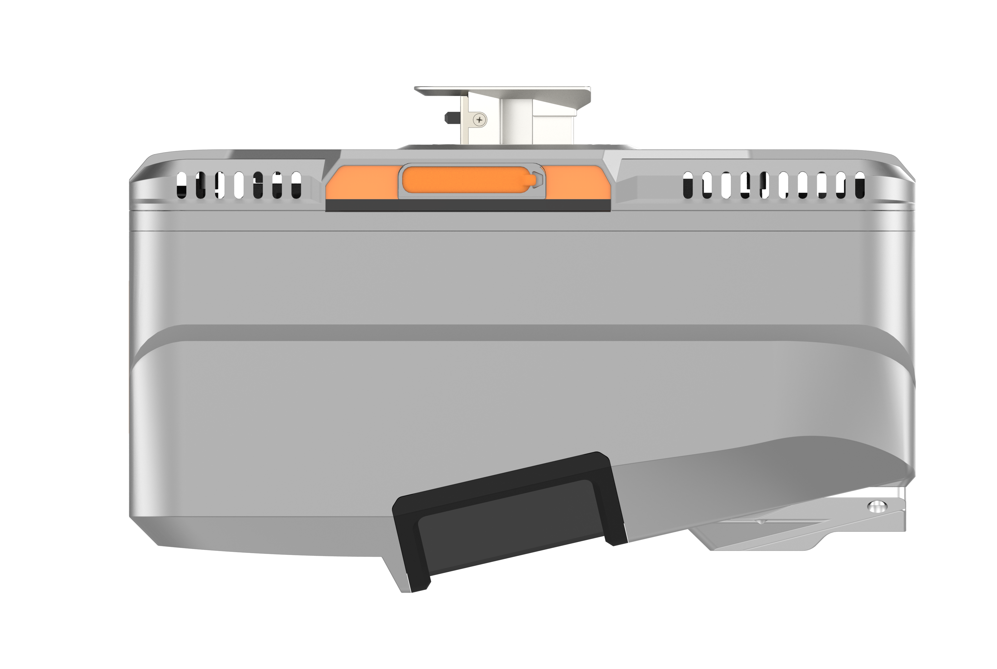
Featuring CHCNAV's unified Alphaport interface, the AA15 allows quick and easy connection to power sources and cameras with a single click. Its compact design and light weight of only 2.5 kg ensure seamless integration into various UAS, UAVs, RPAS, small manned aircraft, and helicopters.
EFFICIENT SURVEYING OF LARGE AREAS
Capturing 2 million points per second and with a maximum range of 1800 meters, the AA15 can be mounted on a variety of platforms. With a flying height of up to 700 meters, it provides minimal point loss over large areas, making it ideal for high-point density corridor mapping applications such as power lines, highways, railroads, and pipeline inspections. It is also well-suited for urban mapping projects.
COMPREHENSIVE GEOSPATIAL ECOSYSTEM
The CHCNAV ecosystem is tailored for your convenience, providing a complete solution for integrating LiDAR technology into your geospatial services. The SmartGo App automates reality capture and offers real-time mission monitoring, while the CoPre and CoProcess software suite simplifies post-processing and feature extraction. This user-centric approach ensures a smooth data workflow, improving work efficiency and productivity.
Do you have questions about this product?
- Questions about price, availability, and/or retailers
- Questions about technical specifications and usage
- Questions about suitability for your project or application
Specifications
-
General
-
Data storage facilities
SSD
Postprocessing software
CHCNAV CoProcess
Power requirements
DC24V, 60W
Total Weight [kg]
2.5KG
Type of GNSS/INS positioning system
Multiple GPS, GLONASS, Galileo BeiDou, SBAS and QZSS constellation, L-Band
-
Application
-
Main applications
Airbone Mapping
-
Measurement Characteristics
-
Max. field of view [deg]
75
Max. number of recorded echoes per pulse
16
multiple pulses in air
Y
Scan frequency [Hz]
100K - 2M
-
Application areas
-
Select an application area:
Construction and Infrastructure, Land Surveying and Cadastre
Documents
Brochure
AA15_DS_EN.pdf
5.25 MB


