![a1bf05451134c6457511c6724ff95bfa.png](https://cdn.geo-matching.com/kR9vDLan.png?w=480&s=17eff57f0298815a07377f853fc9c599)
![Profile page Banner.jpg](https://cdn.geo-matching.com/voeExexo.jpg)
Showing 1-8 of 8 results
![a1bf05451134c6457511c6724ff95bfa.png](https://cdn.geo-matching.com/kR9vDLan.png?w=480&s=17eff57f0298815a07377f853fc9c599)
![redbutte2.jpg](https://cdn.geo-matching.com/kR9l07oQ.jpg?w=480&s=433bc94ef00e1ef7ffc4574ed5e707b5)
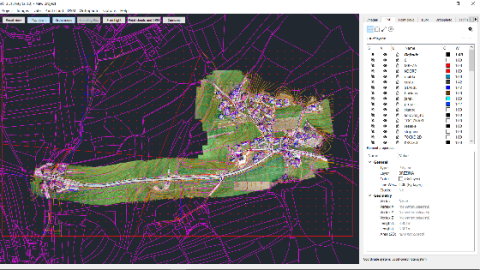
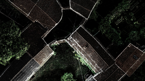
Drone Used in Topographic Survey Project Allowed Mapping on Hard to Reach Locations
![pic5b-0.png](https://cdn.geo-matching.com/9p6Mxqnb.png?w=480&s=0bdc9187e76e1a05384cc2dffd1bb88b)
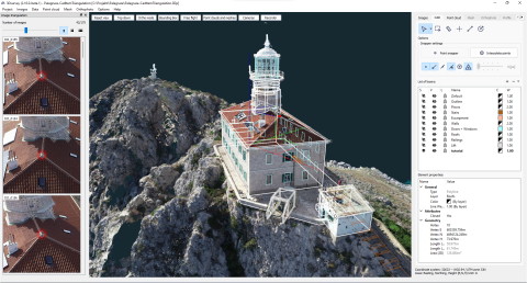
Extract Building Corners Fast and Precise using X-Ray Functionalities
![img-9660.jpg](https://cdn.geo-matching.com/wRW88ynL.jpg?w=480&s=a0591c34b32046f218045774125a7ddd)
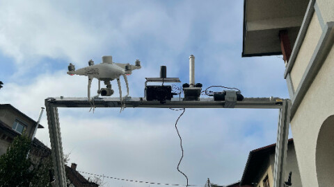
3Dsurvey mission: Mobile photogrammetry development
![3Dsurvey-3Dscreenshot-tower_capture_2023_08_22_08_45_57.png](https://cdn.geo-matching.com/1pAV5B1o.png?w=480&s=16b8692758faee679962e9bc33f77a74)
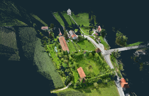
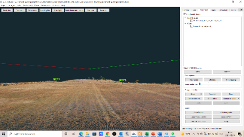
Dealing with Dense Vegetation and Drone Crash: Project Soteska Castle
![3d-model.jpg](https://cdn.geo-matching.com/EnkrkBR5.jpg?w=480&s=fdd6ab861330c04254f475a0a1333431)
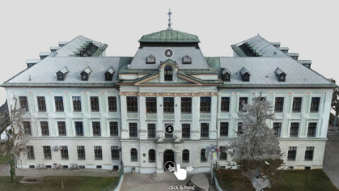
Photogrammetry Helps Create Virtual Reality School
![more-detailed-high-wall-in-poin-cloud.png](https://cdn.geo-matching.com/dog637pZ.png?w=480&s=caf1de193ffec622c1f30d1982a349f4)
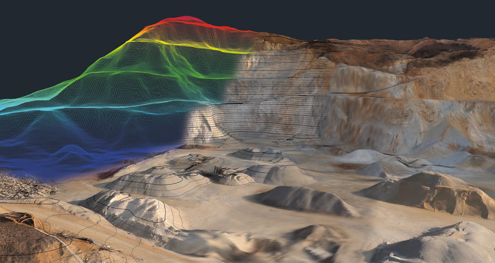
Creating a 3D Model of a Shooting Range Using Point Cloud Processing Software
![traditional-survey1.png](https://cdn.geo-matching.com/PR03GNoX.png?w=480&s=036a9a6abbf5e9a489277489fecdacd8)