


Integrating INS with Aiding Data Technologies – The INS Ecosystem RoadMap
Over several years, Inertial Labs has identified a significant problem associated with traditional PNT solutions that mainly concerns over-reliance on multi-constellation Global Navigation Satellite System (m-GNSS) aided navigation systems that are not able to satisfactorily complement other alternative PNT (Position, Navigation, Timing) sources such as inertial, magnetic, barometric, machine vision and multi-source alternative RF (Radio Frequency) signals. In an era of electronic warfare, GNSS jamming and spoofing are more apparent than ever, which prompts the need for an infrastructure-less, resilient, alternative Position, Navigation, Timing (alt-PNT) solution that can continuously deliver accurate navigational information and time synchronization outputs within GPS/GNSS outages for prolonged periods. In an article called “The Future of War is Electromagnetic,” which was recently published by “New America,” it was stated that “Ukraine loses up to 10,000 drones per month, mostly to electronic attacks from Russia” (Zikusoka, 2023). The need for complementing and reducing reliance on traditional GNSS based PNT fusion systems is a critical problem for various defense applications.
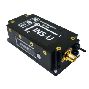
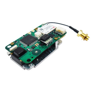
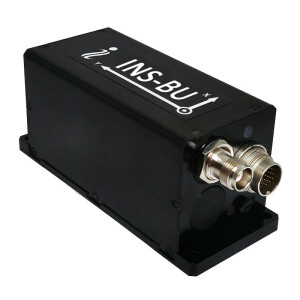
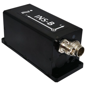
To complement the overarching problem stated above, Inertial Labs is using a modular systems-of-systems approach by generating an eco-system of aiding data sources to utilize the technical advantages of its proprietary Kalman filter, which serves as a solid foundation to perform advanced sensor fusion in times of GNSS signal outages, jamming or spoofing. The Figure below depicts the Inertial Labs Sensor Fusion Platform that is currently being run on many advanced computer vision and high-end GPU-dependent development platforms.
Examples of integrated aiding data systems that are developed and operational today include:
1. Dual-Axis Air Speed Sensor (Aiding Data Integration with INS) Development for Multi-Rotor UAVs: Dual-axis-air speed sensors are an example of a particularly exciting integration effort that Inertial Labs carried out for multi-rotor UAV systems. Multirotor drones can stop on a dime, turn, and move in a new direction with ease throughout a given flight path. This poses challenges in determining the air speed in any given flow direction in GNSS-denied navigation, so it becomes much more difficult to predict the flight path as the range of possible X or Y maneuvers is much wider than that of a fixed-wing drone. Hence, being able to integrate a sensor that can provide 2D horizontal airspeed estimates can significantly aid the INS Kalman filter in correcting its velocity estimates in longer GPS/GNSS outages.
2. VINS (Visual – Inertial Navigation System):
The VINS consists of a sensor module (housing the camera + miniAHRS/IMU), a processing module (housing the mission computer and INS), and an air data computer (ADC). The sensor module is integrated with the processing module to compute real-time ground speed updates from simply observing a stream of concurrent terrain imagery captured by day/IR cameras on board an aerial platform. The ground speed computations are fused with other complementary sensor systems to deliver highly accurate PNT information in GNSS-denied outages. Inertial labs also use highly innovative techniques to precisely calibrate the cameras and IMU sub-systems for fully defining the extrinsic and intrinsic properties.
3. RF Ranging/Geolocation via Triangulation of signals from tactical SDR (Software Defined Radios):
The Inertial Labs’ INS has integrated capabilities to accept RF (Radio Frequency) ranging aiding data inputs from advanced, infrastructure-less, MESH network-based tactical Software Defined Radios (SDR) that are developed by DTC (Domo Tactical Communications).
From an application standpoint, the DTC’s BluSDR-30-B radios serve as base (“beacon”) points within a defined range of up to 30 kilometers from the vehicle’s BluSDR-30 radio, which is mounted on aerial or land systems with the INS. Once powered, the radios automatically establish a secure MESH network that is configured to send Time of Flight (ToF) packets throughout the MESH (between each radio) supporting up to 144 nodes within the network. Hence, the SDR on board the vehicle shall obtain real-time ToF data from the distant base radios deployed on the ground along with their known, instantaneous 3D position coordinates.
Each ToF and base radio location packet will be provided to the rover radio within the mesh network, which will be processed by the INS’s data-logging processor and fused with a robust, tightly coupled Kalman filter for triangulating the vehicle’s position from the RF ranges that are received by two or more deployed ground radios. Thus, the INS’s unique integration capability with DTC’s SDRs gives it a major edge over other industry solutions that do not have the fusion filter capabilities to blend aiding data inputs from various alt-PNT (Position Navigation & Timing) sources simultaneously. Note that the ground base SDRs should always have line-of-sight with the vehicle’s SDR to be active within the mesh network being formed amongst the radios. The radios can operate in multiple RF frequency UHF spectrum bands with the ability to output signals at 1W (+30dBm) and allow for configurable bandwidths from 1.25-20MHz. Based on the environment in which the radios are deployed with the INS (e.g. Multipath interference patterns), the bandwidth and output power can be configurable to achieve optimal RF ranging performance.
Do you have questions about this article?
Get in touch with Inertial Labs, Inc., and they would be happy to answer any questions you have about pricing, suitability, availability, specs, etc.


