Getting Centimeter Accuracy with X5 Mobile and Reference Stations
When capturing geospatial data, some doubts may arise regarding the expected accuracy. It is important to fine-tune the project threshold before executing it. Many geographic information projects require submetric precision, and others require precision below 10 centimeters. In the field of Topography and Geodesy, precision is definitely very relevant, limited to the spectrum of 1 to 2 centimeters.
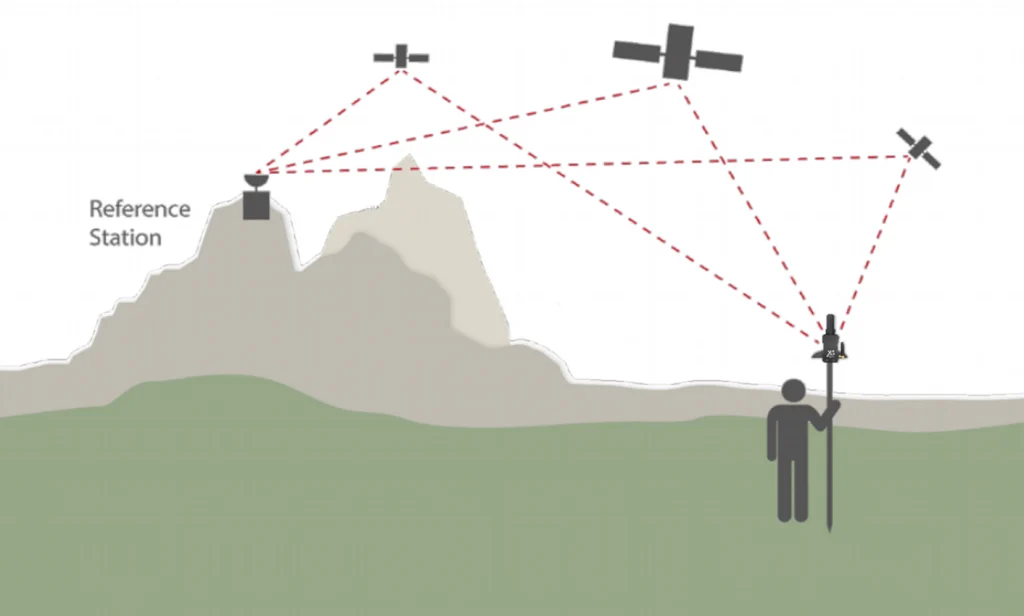
It is important to know that precision below 10 centimeters will always be obtained by receiving corrections from a GNSS Base Station (We are going to discard the Precise Point Positioning methods, which we will talk about in a next article). This GNSS Base can be Local, meaning that it will be located at a distance of no more than 10 Kilometers for Radio Frequency work, and up to 140 Kilometers if we use Internet protocols.
.")
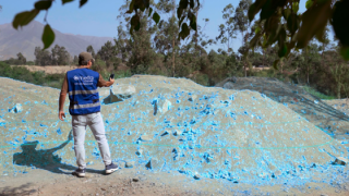
Usually when working with Radio frequency, the Base Station is that of the user himself, and must be placed in a position of known coordinates. It is necessary to mention that to date there are Reference Stations continuously monitoring GNSS data, generally these are managed by the geographical or military Institutes of each Country. In the case of Peru, there are more than 70 continuous monitoring stations distributed throughout the country.

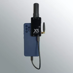
The locations of these Reference Stations are important, since if we are in the range of action we will achieve a precision of a few centimeters with our GNSS Receiver. The X5 Mobile Receiver can quickly receive RTK – NTRIP corrections from a GNSS Base. Let’s observe in the following image the coverage of GNSS Reference Stations in the Countries of Argentina and Chile.

The user only has to enter the access credentials to the Caster of said entity. For example caster.mettatec.com. It is also necessary to enter the username and password that must be provided by a System administrator.
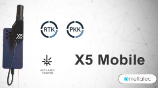
Remember that the X5 Mobile corrects RTK by Radio, NTRIP (Internet) and PPK (Post Process Kinematic). So centimeter precision is within the reach of the geospatial community.
Do you have questions about this article?
Get in touch with METTATEC, and they would be happy to answer any questions you have about pricing, suitability, availability, specs, etc.
Related articles


