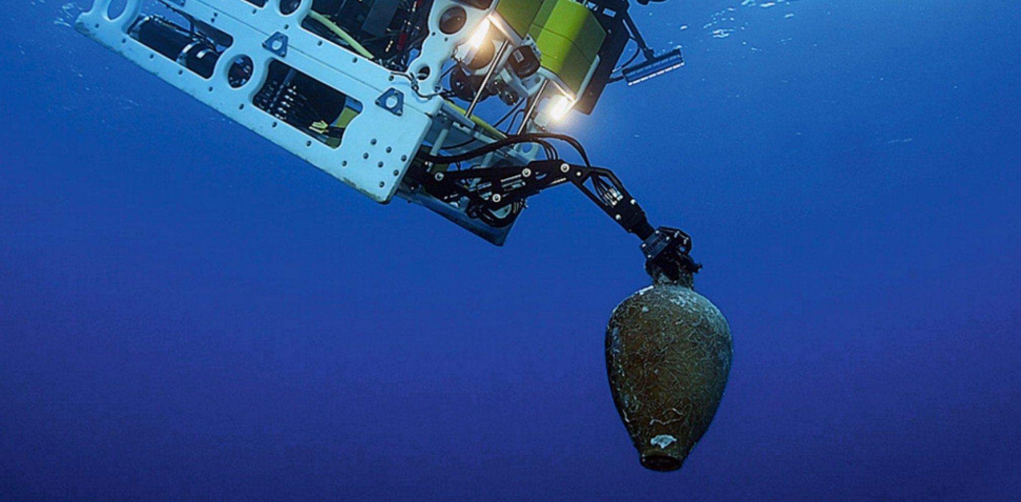
Cultural Heritage
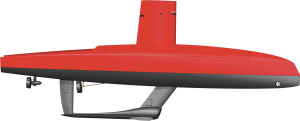
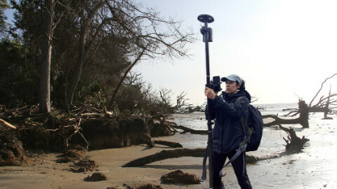
Cultural Heritage is the place to find products to map monuments or document historical sites. Whether you are looking for [HR Satellite Imagery] for a rough site exploration or more precise measurements using [Portable or Indoor Mobile Mappers] or [Handheld Scanners], you'll find it here. If you're looking to dive below the surface, take a look at the [Ground Penetrating Radars] or the [Underwater Cameras].
Product themes
Recently added products
Featured manufacturers


Browse by category
Aerial and Satellite Imagery
GNSS and Mobile GIS Systems
Positioning and Navigation
- AHRS - Attitude Heading and Reference Systems
- Accelerometers
- Altimeters
- DVLs - Doppler Velocity Logs
- GNSS Antennas
- GNSS Receivers
- GNSS Repeaters
- GPS and Heading
- Gyroscopes
- IMUs - Inertial Measurement Units
- INS - Inertial Navigation Systems
- MRUs - Motion Reference Units
- Marine Navigation Systems
- Portable Marine Survey Systems
- Radios and Modems
- Subsea Cables
- Subsea Connectors
- Transponders (Acoustic Release and Positioning)
- USBLs and SSBLs
- Underwater Acoustic Modems
Software and Data Management
- Automatic Blurring Software
- BIM Software
- Big Data Management Systems
- CAD Software
- Flight Planning and Management Software for Manned Aviation
- GIS Software
- GNSS Processing Software and Correction Services
- Ground Station Software
- Hydrographic Acquisition Software
- Hydrographic Processing Software
- Photogrammetric Imagery Processing Software
- Point Cloud Processing Software
- Remote Sensing Image Processing Software
- Sediment Classification Software
- Survey Software
- UXO Detection and Analysis Software
- Verification and Validation
Subsea Sensors
- ADCPs - Acoustic Doppler Current Profilers
- Altimeters
- Bottom Pressure Gauges
- CTD Systems
- Current Meters
- Data Buoys
- Density Probes
- Magnetometers
- Ocean Sensors
- Sound Velocity Sensors and Profilers
- Subsea Data Loggers
- Subsea Landers and Observatories
- Subsea Lights and Lasers
- Tide Gauges: Radar, Pressure and Acoustic
- Transducers (Acoustic)
- Transponders (Acoustic Release and Positioning)
- Underwater Cameras
- Wave Radars
- Weather Stations


