
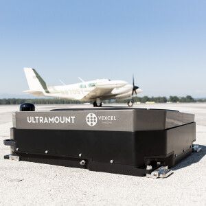

Description
Do you have questions about this product?
- Questions about price, availability, and/or retailers
- Questions about technical specifications and usage
- Questions about suitability for your project or application
Specifications
-
General
-
Year of introduction
2014
Year of last update
2015
Total Weight [kg]
35
Power requirements
18-32VDC typ. 200W
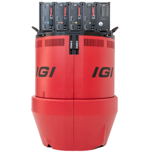
Type of GNSS/INS positioning system
IGI AEROcontrol III - 512Hz
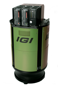
Camera
IGI DigiCAM & IGI DigiTHERM (thermal IR)
Data storage facilities
Removeable SSD, hot-plug
Mission planning software
IGIplan
Postprocessing software
IGI AEROoffice & Riegl ALS Software
-
Application
-
Main applications
Mapping of Coastal Lines Mapping of Lakesides & River Banks Archaeology & Cultural Heritage, Corridor Mapping
-
Measurement Characteristics
-
Scanning method
time-of-flight
Scan frequency [Hz]
200000
Max. pulse frequency [Hz]
520000
Max. field of view [deg]
60
Max. number of recorded echoes per pulse
practically unlimited
Full-wave form digitization
N
Pulse sampling frequency [GHz]
0
Recording of intensity of return signal [bits]
0
multiple pulses in air
Y
-
Operation Characteristics
-
Platform
Helicopter, Fixed-wing, Gyroplane
Max. flying height [m]
2500
Max. acquisition time [hr]
0
-
Laser Pulse Characteristics
-
Wavelength [nm]
0
Standard pulse length [ns]
0
Beam divergence [mrad]
1
Type/class laser
Class 3B
Eyesafe range [m]
0
Pulse length variation [ns]
0
-
More information
-
Distinguishable features
Flexible Integration with Modular Optical, Thermal and Hyperspectral Cameras; High-end GNSS/IMU; Certified Installations, Perfectly suited for combined Land and Hydrographic Airborne Survey
-
Uncertainty and resolution
-
Pitch and roll pointing precision [deg]
0.003
Heading pointing precision [deg]
0.008
Elevation precision at 1 km [m]
0
Planimetric precision at 1km [cm]
0
Across-track point spacing at 1km [m]
0
Related products


