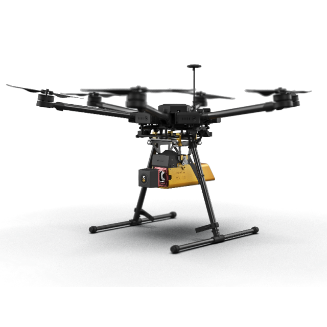

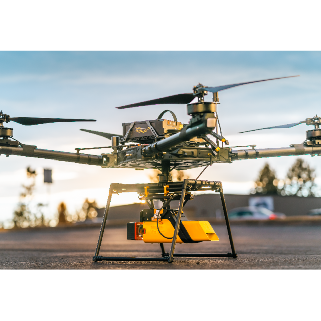

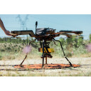

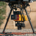
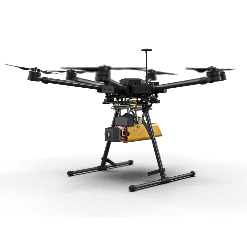
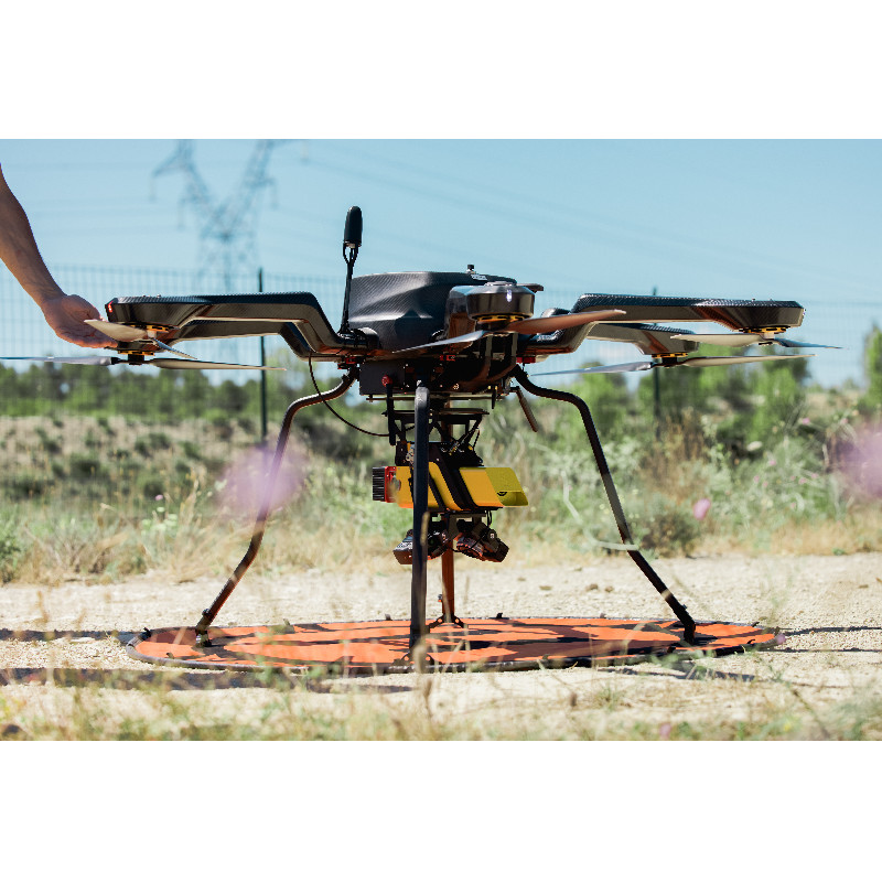
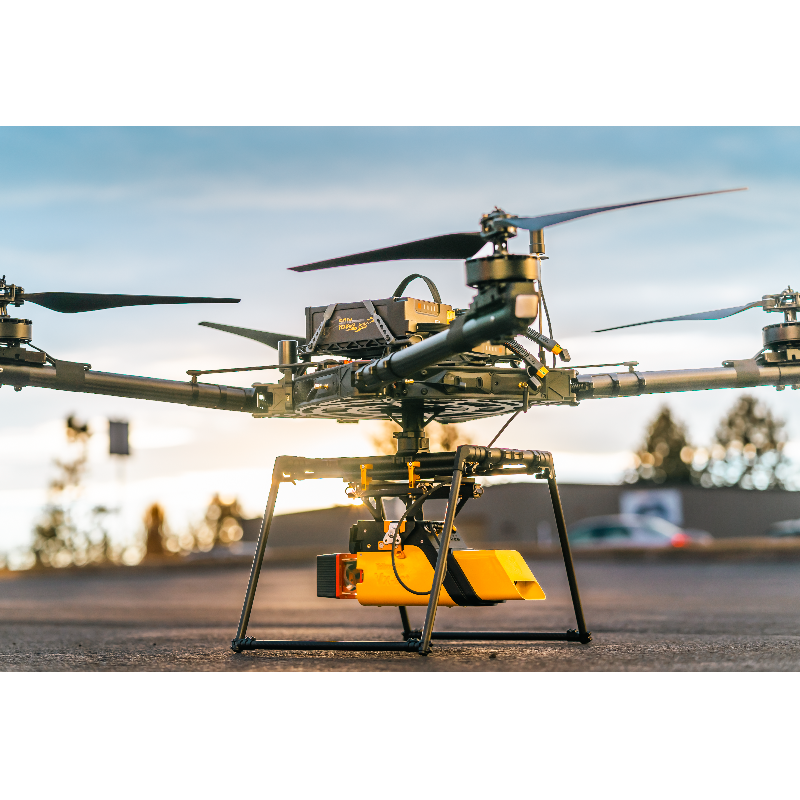

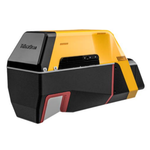
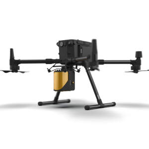
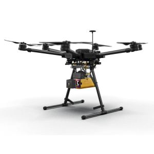
YellowScan Vx-20 - UAV LiDAR mapping
The most accurate and high precision UAV LiDAR solution
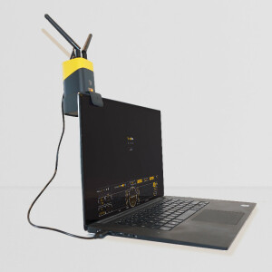
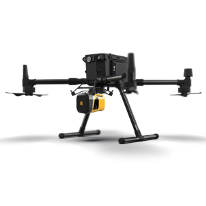
YellowScan Vx-20 is the most accurate fully integrated system from YellowScan’s product range. It can fly up to 100m while maintaining accuracy throughout the point cloud. Ideally suited for applications that require sharp and accurate descriptions.

YellowScan
Saint-Clément-de-Rivière, FR
Description
Key benefits - YellowScan Vx-20
- High range for higher security on uneven landscapes and vegetation
- Survey grade precision and accuracy
- Robust and reliable
- Turn-key and simple to operate
- Fully autonomous, can be mounted quickly on any drone
Do you have questions about this product?
- Questions about price, availability, and/or retailers
- Questions about technical specifications and usage
- Questions about suitability for your project or application
Specifications
-
Measurement Characteristics
-
Range accuracy [mm]
5
Max. pulse frequency [Hz]
100000
Max. field of view [degrees]
360
Max. number of recorded echoes per pulse
5
-
Physical Properties
-
Height [cm]
15
Length [cm]
33
Width [cm]
12
Weight [kg]
3.7
Water and dust proof
No
-
Laser Pulse Characteristics
-
Laser Class
1
Wavelength [nm]
905
Max. range of laser pulse [m]
250
-
Power Supply
-
Power consumption
25W
Power requirements
Internal battery
Type of battery
Lithium-ion
Operation time on single battery [minutes]
90
-
Positioning System
-
Number of GNSS positioning sensors
200
Type of GNSS positioning sensors
GPS, GLONASS, BeiDou, RTK and PPK
Type of INS or IMU
Applanix APX-20
-
Operation Characteristics
-
Camera included
-
Data and Software
-
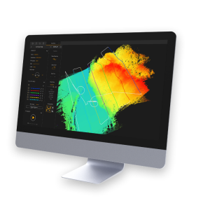
Included software
YellowScan CloudStation and POSPac
-
General
-
Year of last update
2020
Year of introduction
2018
Documents
Brochure
vx20-series
Videos


