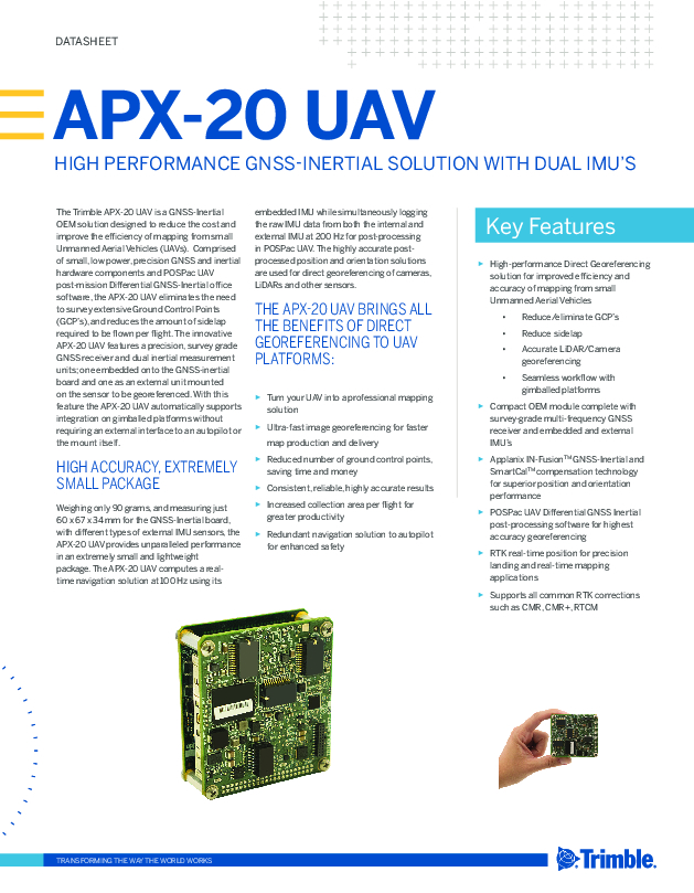
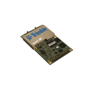
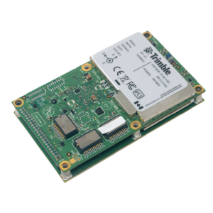
Applanix APX-20 UAV
More than Just an IMU, A Complete Soultuion
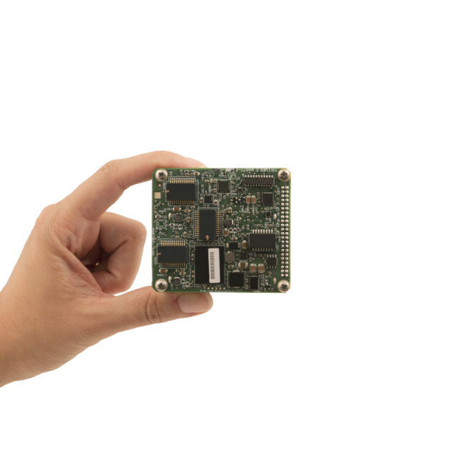
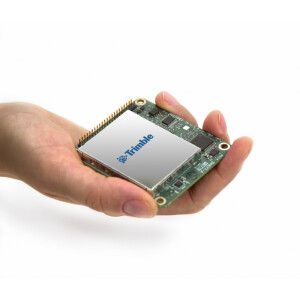
The Trimble APX-20 UAV is a GNSS Inertial OEM solution designed to reduce the cost and improve the efficiency of mapping from small Unmanned Aerial Vehicles (UAVs).

Trimble Applanix
Richmond Hill, CA
Description
Comprised of small, low power, precision GNSS and inertial hardware components and POSPac UAV post-mission Differential GNSS-Inertial office software, the APX-20 UAV eliminates the need to survey extensive Ground Control Points (GCP’s), and reduces the amount of sidelap required to be flown per flight. the APX-20 UAV automatically supports integration on gimballed platforms without requiring an external interface to an autopilot or the mount itself.
Do you have questions about this product?
- Questions about price, availability, and/or retailers
- Questions about technical specifications and usage
- Questions about suitability for your project or application
Specifications
-
Other specifications
-
Graphical user interface
Y
Typical application
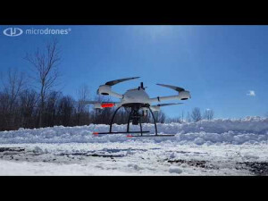
Direct Georeferencing of airborne sensor data collected from a UAV. Includes Orthophoto production, Topographical Mapping, Digital Terrain Model generation, Reconnaissance, Surveillance.
Distinguishable features
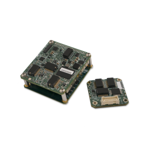
The innovative APX-20 UAV features a precision, survey gradeGNSS receiver and dual inertial measurement units; one embedded onto the GNSS-inertial board and one as an external unit mounted on the sensor to be georeferenced. With this feature, the APX-20 UAV automatically supports integration on gimballed platforms without requiring an external interface to an autopilot or the mount itself.
Export restrictions
Export friendly and is exportable worldwide.
-
Environmental
-
Min. operating temperature [°C]
-40
Max. operating temperature [°C]
75
-
Software
-
Name
POSPac UAV
Filtering
Y
Adaptable input signals
Y
Integrity monitoring of position input
Y
-
GNSS aided uncertainty
-
Heading [deg]
0.035
Pitch [deg]
0.015
Roll [deg]
0.015
-
General
-
Year of initial development
2016
Height [m]
0.034
Width [m]
0.06
Length [m]
0.067
Weight [kg]
0.42
Min. Voltage (DC)
8
Max. Voltage (DC)
32
Power consumption [W]
3.5
Splashproof casting
N
Water resistant casting
N
Type of application
Air
-
GNSS Positioning Sensor
-
Tracked satellite signals
GPS L1, GPS L2, GPS L5, GLONASS L1, GLONASS L2, GLONASS L3, Galileo E1, Galileo E2, Galileo E5, BeiDou B1, BeiDou B2
SBAS differential signals
Y
RTK Network Compatibility
Y
Update rate [ Hz ]
200
-
Data formats
-
NMEA formats
Yes
RTCM
Y
Other
binary
-
Inertial Measurement Unit
-
Calibration procedure
Applanix SmartCal
-
GNSS positional accuracy
-
Horizontal Position Accuracy [ RMS in cm ]
2
Horizontal Position Accuracy (SBAS) [ RMS in cm ]
50
Horizontal Position Accuracy (RTK) [ RMS in cm ]
2
Documents
Brochure
apx-20-uav.pdf
481.6 KB
Videos


