


Showing 1-9 of 10 results
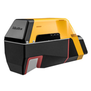
Voyager
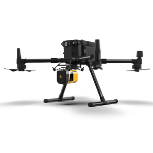
Mapper+
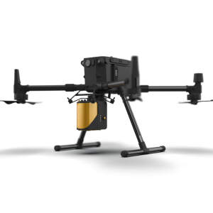
Mapper
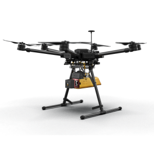
YellowScan Vx-20 - UAV LiDAR mapping
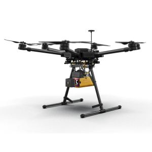
Fly&Drive
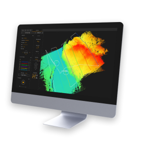
YellowScan CloudStation - Visualization and LiDAR processing software
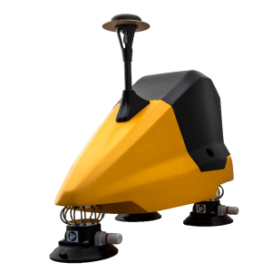
YellowScan Vx-15 - UAV LiDAR mapping
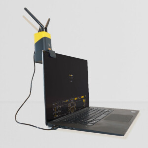
LiveStation - Live monitoring software for UAV and Mobile LiDAR data acquisition
Need some help? Ask a Geo-matching expert!
Our team and network of 1000+ manufacturers and developers is here to assist you.