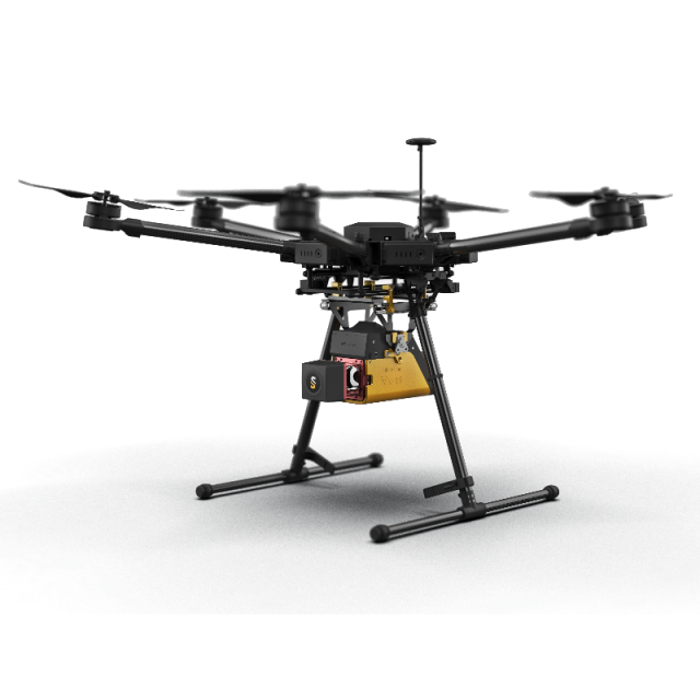

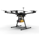


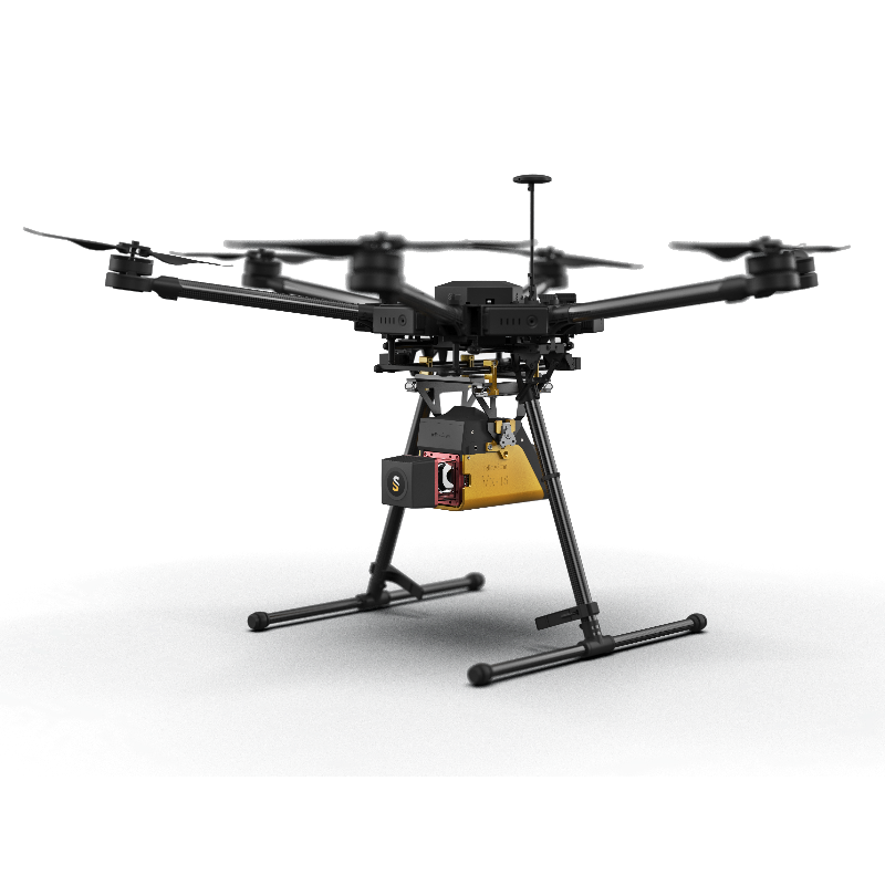
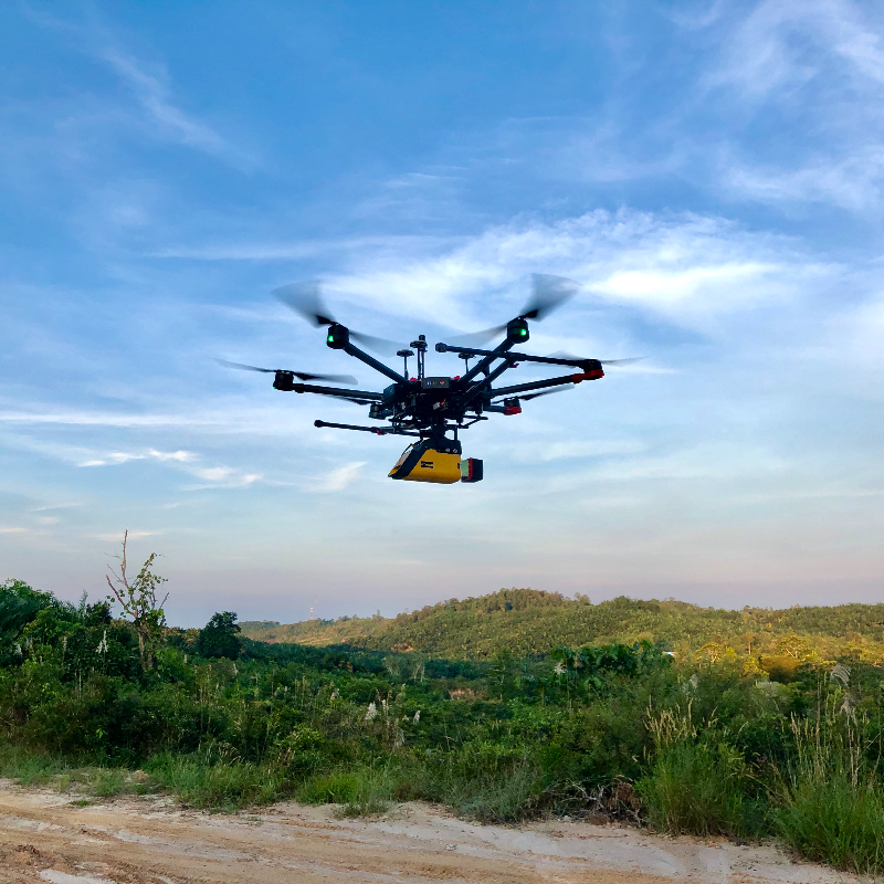
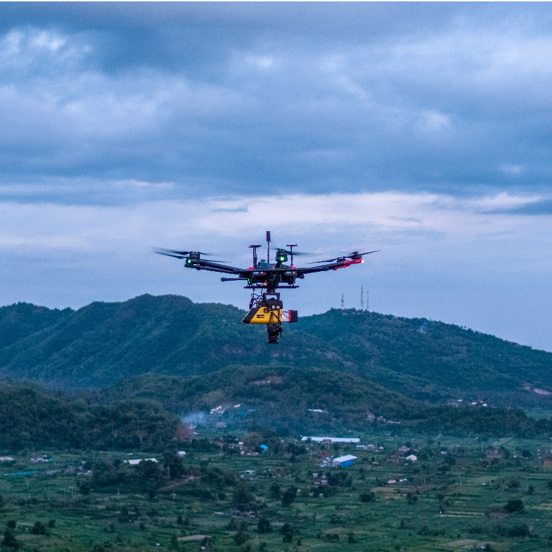

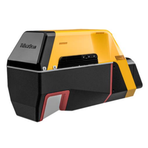
YellowScan Vx-15 - UAV LiDAR mapping
The high precision and long range UAV LiDAR solution
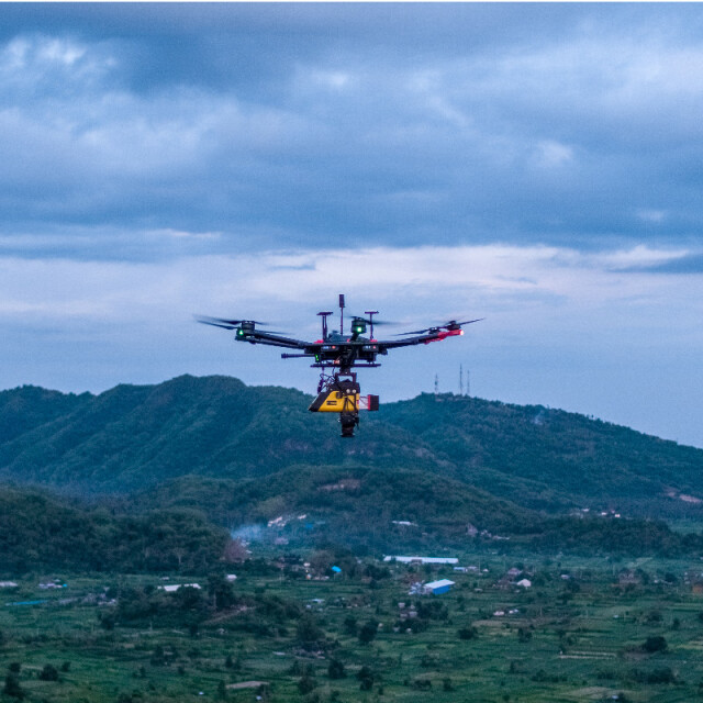
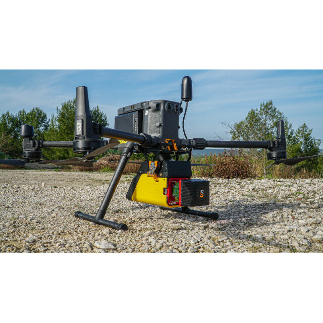
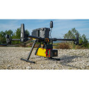
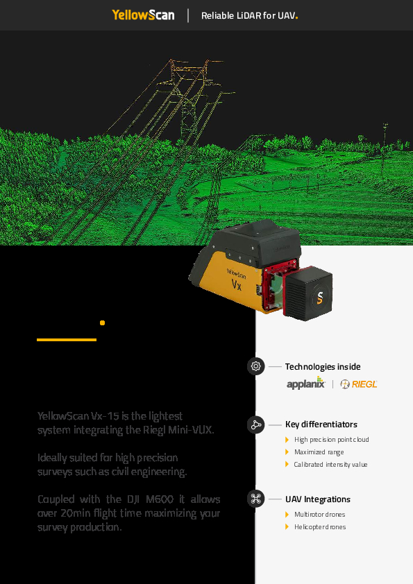
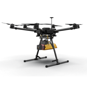
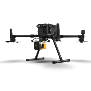
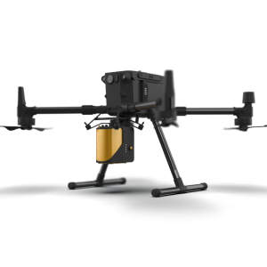
YellowScan Vx-15 is the lightest system integrating the Riegl Mini-VUX. ldeally suited for high precision surveys such as civil engineering. Coupled with the DJI M600 it allows over 20min flight time maximizing your survey production.

YellowScan
Saint-Clément-de-Rivière, FR
Description
Key benefits - YellowScan Vx-15
- High range for higher security on uneven landscapes and vegetation
- Survey grade precision and accuracy
- Robust and reliable
- Turn-key and simple to operate
- Fully autonomous, can be mounted quickly on any drone
Do you have questions about this product?
- Questions about price, availability, and/or retailers
- Questions about technical specifications and usage
- Questions about suitability for your project or application
Specifications
-
Application
-
Main applications
Recommanded for Civil Engineering, Mining and Powerlines
-
Measurement Characteristics
-
Max. pulse frequency [Hz]
100000
Max. field of view [degrees]
360
Max. number of recorded echoes per pulse
5
-
Physical Properties
-
Height [cm]
17
Length [cm]
35
Width [cm]
11
Weight [kg]
2.6
Water and dust proof
No
-
Laser Pulse Characteristics
-
Wavelength [nm]
905
Laser Class
1
-
Power Supply
-
Power consumption
25 W
Power requirements
Internal battery
Type of battery
Lithium-ion
Operation time on single battery [minutes]
90
-
Positioning System
-
Type of INS or IMU
Applanix APX-15
Type of GNSS positioning sensors
GPS, GLONASS, BeiDou, RTK and PPK
-
Operation Characteristics
-
Camera included
Optional
-
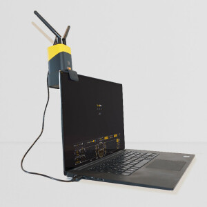
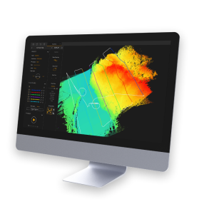
Data and Software
-
Included software
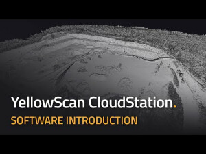
YellowScan CloudStation
-
General
-
Year of last update
2020
Year of introduction
2018
Documents
Brochure
yellowscan-vx-15-datasheet.pdf
437.93 KB


