
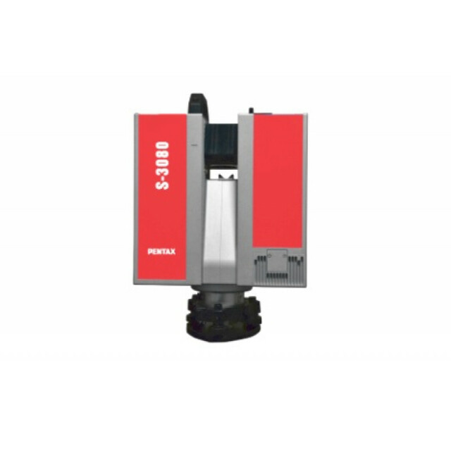
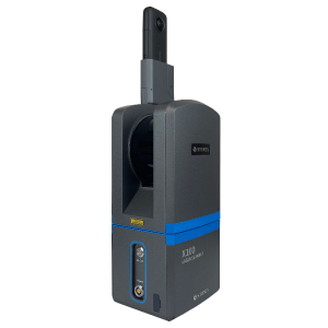
Description
Specifications
-
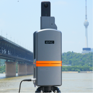
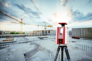
Application
-
Training facilities
N
Main applications
Digital site planning; architecture; infrastructure; forensics; cultural heritage
Distinguishable features
High speed and accuracy of data; stand-alone-concept; wide choice of resolution and quality; protected deflection unit
-
Peripherals
-
External Camera
Y
Export formats of camera image
JPEG
User interface
Integrated
Specifications
Ethernet / USB 2.0
Additional sensors
GPS; Odometer
Registration/orientation methods
Target, Cloud-to-Cloud and Plane-to-Plane registration
-
Scanning Characteristics
-
Max. vertical field of view [deg]
310
Max. horizontal field of view [deg]
360
Min. horizontal step size [deg]
0.0018
Min. vertical step size [deg]
0.0018
Uncertainty of horizontal step size [deg]
0.007
Uncertainty of vertical step size [deg]
0.007
Beam deflection mechanism
rotating mirror
Max. measurement rate [kHz]
1016
Min. scan duration with typical resolution [min]
3
Scan duration with highest resolution [min]
27
-
Software Functionality
-
Software name
Z+F LaserControl / LFM
Automatic detection of tie points
Y
Real time visualization during scanning
Y
Geo-referencing
Y
Fitting of primitives
Y
Specification of primitives
planes; cylinders; spheres
Max. size of model [million points]
20
-
Laser Ranger
-
Range measurement principle
phase
Laser safety classification
3R (ISO EN 60825-1)
Min. Range [m]
0.4
Max. Range [m]
79
Range uncertainty (constant part) [mm]
1
Beam divergence [mrad]
0.22
Intensity recording [bits]
24
-
Power
-
Battery type
internal
Scan time per battery [h]
4
-
General
-
Year of introduction
2013
Height [m]
0,412
Depth [m]
0.19
Width [m]
0.286
Total Weight [kg]
14


