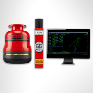
Z300 iLiDAR
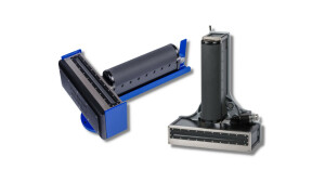
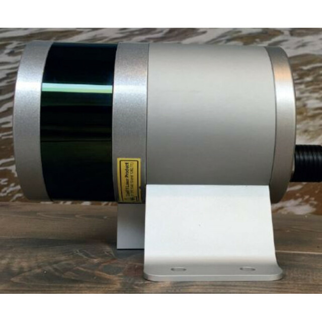
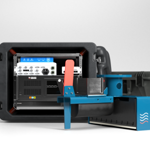
The Z300 iLiDar represents the very latest in dynamic geospatial data collection technology. The system comes fully calibrated and ready to operate, Delivering up to 320,000 data points per second the system has been designed to be simple to mobilize and easy to operate without the need for specialized training or qualifications.
Seabed
Amsterdam, NL
Description
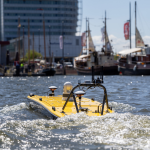
Turnkey Mobile LiDAR System for complete above water point cloud
The Z300 iLiDar represents the very latest in dynamic geospatial data collection technology. The system comes fully calibrated and ready to operate, Delivering up to 320,000 data points per second the system has been designed to be simple to mobilize and easy to operate without the need for specialized training or qualifications. Being able to rapidly acquire accurate geospatial data in real-time, Z300 iLiDAR Turnkey Mobile LiDAR System For complete above water point cloud without the need for post-processing, not only offers a number of cost and efficiency benefits to existing operations, but it also helps create new business and market opportunities.
The Z300 iLiDAR is an all-new multi-sensing concept that combines multiple tightly integrated sensors into one hardware platform with a single LAN connection to survey laptop. Supported sensors include any combination of bathymetric MultiBeam Echo-Sounder, Forward-Looking Sonar, Forward Looking Bottom Detection and LiDAR.

Specifications
-
Application area
-
Select your application area
Archeology, Cadastre, Forestry, Habitat Mapping, Hydrography, Infrastructure, Land Surveying, Mining, Other
-
Region
-
Select your region
Africa, Asia, Caribbean, Central America, Europe, North America, Oceania, South America
-
Category
-
Select your category
Mobile Mappers, Terrestrial Laser Scanners
Documents
Brochure
Seabed-leaflet-iLidar_2017_LR.pdf
More in Rental Services and Equipment


