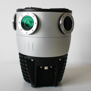

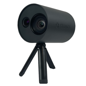
Viking: 360° mobile mapping camera for 3D modeling, Digital Twin creation, and AR platforms
The highest resolution and most powerful 360º camera in the world allows you to capture the smallest details. Enables large-scale photogrammetry data collection in a fraction of the time as traditional methods
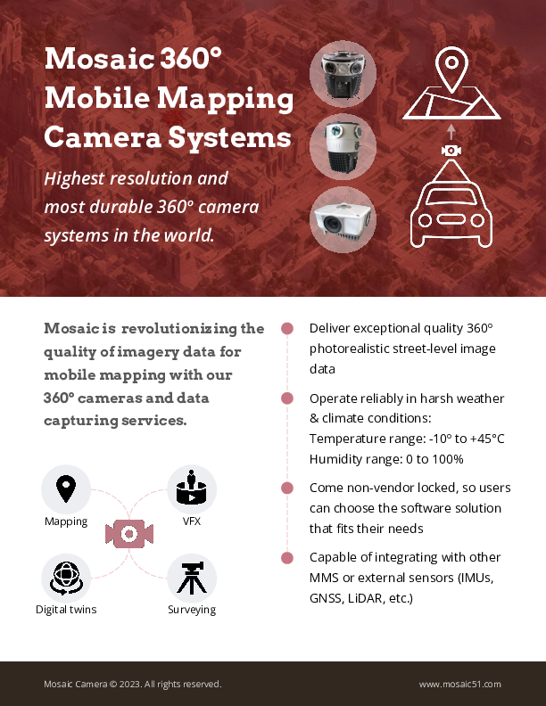
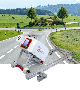
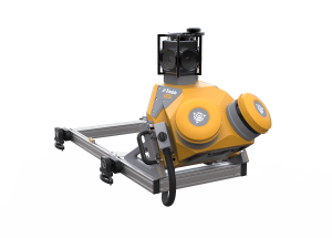
Mosaic 360 Camera Systems
Czechia
Description
Supremely powerful, protected optics
6 x APS-C size 31.5MP sensors with 6 x 11 mm lenses
Total resolution 20K or at least 20,000 x 10,000
200 megapixels
123° x 91° lenses utilizing all pixels on the sensor, with the ideal balance of overlap vs. resolution.
Minimal stretching and distortion of the source images so that the actual resolution in the final panorama is consistent across the whole image, including straight up
Image sensors with proper thermal management, giving noise-free operation even in the harshest environments
12-bit uncompressed RAW images
No loss of any definition or color quality
No risk of errors and artifacts around high-contrast edges
Preserves nearly all of the dynamic range, even in harsh lighting
Properly synchronized sensors with auto exposure
Auto exposure is performed with a maximum of 3 frames latency, exposure is the same across all sensors, and synchronization/jitter is less than 1 millisecond.
Minimizes ‘blowout’ between sun and edge of buildings
Offers a single unified and consistent image
Global shutter with an accurate portrayal of objects at any speed
Generate detailed 3D models of objects, assets and spaces, create 3D reconstructions for Digital Twins, Smart Cities, virtual reality, video games, and much more!
Industries
Smart Cities
Local / Central / National governments
Utility companies
Telecommunications companies
Transportation and logistics companies
Real estate companies & developers
Financial and insurance companies
Engineering and architecture firms
Automotive industry
Railways
Infrastructure surveying
Public safety
Media & entertainment
Use Cases
Street view data collection
GIS updating
Road infrastructure maintenance and repair
3D scanning, modeling and reconstructions
Street signs, lights, and other street furniture maintenance and repair
HD mapping
Train rail inspection
Infrastructure inspection and maintenance
BIM/CAD modeling
Real estate asset management
Property valuation
Cadastral surveying
Agricultural inspection
More information
check out the Viking features: https://www.mosaic51.com/cameras/mosaic-viking
FIELD's review on the Viking: https://www.linkedin.com/feed/update/urn:li:activity:7054090501326561280
our customer stories: https://www.mosaic51.com/case-studies/
follow us on LinkedIn: https://www.linkedin.com/company/mosaic-360-geospatial-imaging-leaders
check out cool videos: https://www.youtube.com/channel/UCrh7tggJinvjRWU2N-ee_vw
other products: Mosaic 51 and Mosaic X
contact us: [email protected] or [email protected]
all interested parties can contact us here:
https://www.mosaic51.com/#contact
Specifications
-
General
-
Year of initial introduction
2021
Year of last update
2023
Application
Outdoor
-
Camera System
-
Number of cameras
6
FoV per camera [deg]
360
-
Dimensions & Environment
-
Weight [kg]
30
Documents
Brochure
_Mosaic-Mobile-Mapping-Cameras-Brochure-Apr.2024 (2).pdf
1.62 MB
Related products


