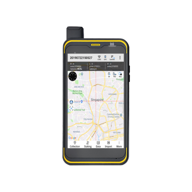
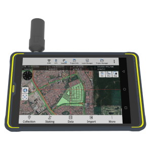
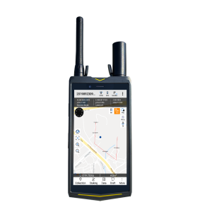
Qmini A5/A7 High-precision GIS Handheld
Complete your professional GIS work with a smart phone
The Qmini A5 / A7 handheld integrates a helical antenna and a high-precision GNSS RTK algorithm to provide users with a consumer-grade smartphone experience for GIS application.

Hi-Target
Guangzhou, CN
Description
Overview of QminiA5/A7
QminiA5/A7 handheld is aimed at professionals in the GIS industry who want full-functionality and compactness in the style of an easy-to-hold and operate android-phone.
Stable and reliable
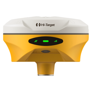
Professional RTK engine High performance spiral antenna.
An open platform for 3rd party software.
5500mAh battery providing up to 12 hours continuous operation.
Application
Resource Management: Land management , water resources survey, forest inventory
Utilities: electricity inspection, gas pipe network inspection
Smart City: transportation management and smart navigation.
For more information, please click HERE to visit our website.
Do you have questions about this product?
- Questions about price, availability, and/or retailers
- Questions about technical specifications and usage
- Questions about suitability for your project or application
Specifications
-
General
-
Year of introduction
2018
Main design elements
hardware
Total Weight [kg]
0.32
Width [m]
0.085
Height [m]
0.165
Depth [m]
0.018
Touchscreen
Y
Resolution: horizontal pixels
1920
Resolution: vertical pixels
1080
Display Panel
5.5-inch
Product Description
smaller, compatable and portable
-
More information
-
Main applications
Land and water resource inspection, pipeline and utilities inspection, environmental and other public work applications.
Distinguishable features
The QminiA5/A7 handheld is a full-functionality and compactness in the style of an easy-to-hold and operate android-phone. The features a spiral antenna and Hi-Target GNSS RTK algorithm to provide high-precision operation.
-
Software
-
Zooming
Y
Panning
Y
Map rotation
Y
Editing of points
Y
Editing of lines
Y
Editing of polygons
Y
Editing of attributes
Y
Query
Y
Sketching of notes on map
Y
Display of external data and photos
Y
Measurements: length
Y
Measurements: area
Y
Name of survey data collection software
Hi-Q Pro data collection Android software
Name of GIS package
Qmini A5/7-High-precision GIS handheld
Import/Export Formats
*.edt, *.ed2, *.shp, *.dxf, *.gpx, *.kml, *.mif, *.txt, *.csv, *.dt
-
Connectivity
-
Bluetooth
Y
WiFi
Y
User Interfaces
Android
Wireless Data Transfer
Network, Wi-Fi
Ports
Type-C
Supply Voltage [V]
3.7V
-
GNSS Receiver
-
GNSS Systems Supported
GPS; Glonass; Compass
Integrated SBAS
Y
Time to first fix after cold start [s]
30
Compatible GNSS correction signals
SBAS
Number of Channels
72
Update Rate [Hz]
5
Multipath Mitigation
Y
Compatible external GNSS receivers
Yes
Stand alone positional accuracy [m]
0.2
-
Computer
-
Audio: speaker
Y
Audio: microphone
Y
Range measurement
Y
Operating System
Android
Hard Disk
Flash
Processor
8 core high-speed processor
RAM [MB]
3072
Hard Disk [MB]
32768
Types of Replaceable Memory
128GB
Built-in Camera: megapixels
13
-
Horizontal uncertainty
-
phase: RTK kinematic (constant part) [m]
0.02
code: SBAS (constant part) [m]
1
-
Operation Characteristics
-
Integrated sensors
Operating temperature: min. [°C]
-40
Operating temperature: max. [°C]
85
Water and dust proof [IP]
67
Operation time per battery [hr]
10
Battery Field Replaceable
Y
Humidity resistance
100%
Shock proof
1.5m free-fall
Pole mount available
N
Documents
Brochure
migrationruxzvz.pdf
11.3 MB
Other documents
-
Product Manual (142)1.61 MB


