
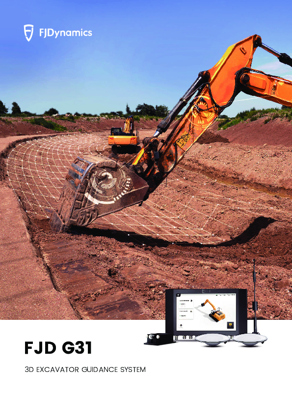
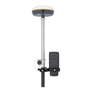
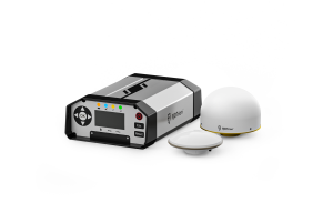
FJD G31 3D Excavator Guidance System
Higher Efficiency with Reduced Cost
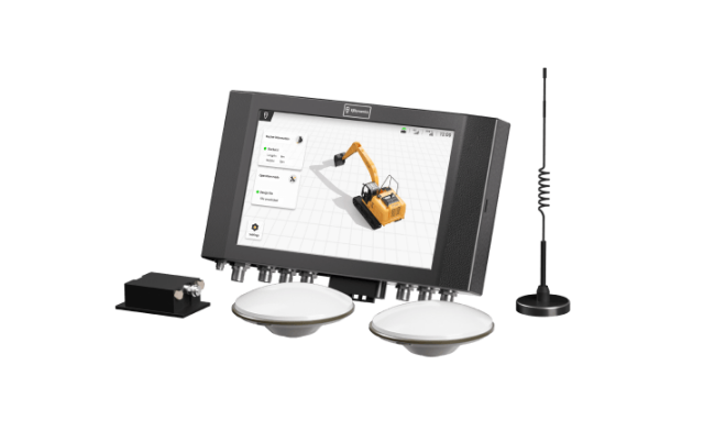
Save time and money for higher efficiency in your excavation works! FJD G31, the GNSS and RTK-based grade control system, features a 3D reference model, updates cut & fill workload, and displays excavator and bucket position in real time, so operators of all skill levels can easily achieve accuracy of 3 cm.

FJDynamics
Singapore
Description
Boost Efficiency & Save Money
FJD G31 3D excavator guidance system simplifies the repetitive steps of lofting, piling and measuring in traditional construction, making construction easier and more efficient.
↑150% Point measurements within 3 cm accuracy
↓45% Fuel Consumption
↓30% Labor Hours
Workflow & Key Functions
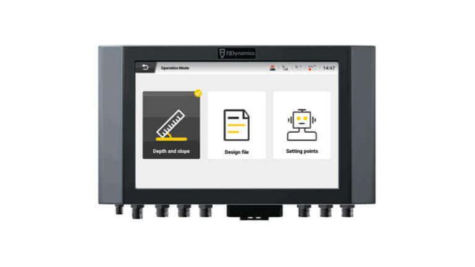
File Import & Task Generation
Easily import drawing files for seamless operations in three modes: depth settings, CAD design file import, or custom design.
Task Visualization
View the task progress, slope, depth, construction reference point and more on the control terminal to ensure the quality of construction.

Elevation Offset
Break down the excavation process with achievable surfaces, so you can attain your goals step by step.
Record Points
Never worry about repetitive works, because the G31 can help you record the current position of the selected bucket tip, and start the next operation from where it ended last time.
Network Transmission
Transfer files directly over the network
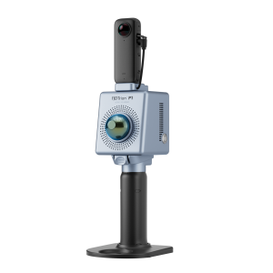
FJD Geospatial & Digital Construction Solution
The FJDynamics machine control system covers a wide range of construction machinery, integrating geospatial technology to offer professional solutions for various scenarios.

Do you have questions about this product?
- Questions about price, availability, and/or retailers
- Questions about technical specifications and usage
- Questions about suitability for your project or application
Specifications
-
General
-
Field of Use
Road Construction, Slope Cutting, Land Levelling, Wading Operation
Main design elements
hardware and software
-
Dimensions
-
Height [cm]
30
Length [cm]
19
Width [cm]
43
-
Operation Characteristics
-
Operating temperature: max. [°C]
70
Operating temperature: min. [°C]
-30
Type of screen
10.1'' LED Touchscreen
Integrated sensors
IMU
Water and dust proof [IP]
IP67
-
Connectivity
-
Supply Voltage [V]
10-30
-
Functionalities
-
Remote control of vehicles
Y
View different mapping layers
Y
View position, planned route and speed
Y
Documents
Brochure
EN-Brochure-FJD G31.pdf
1.99 MB
Videos


