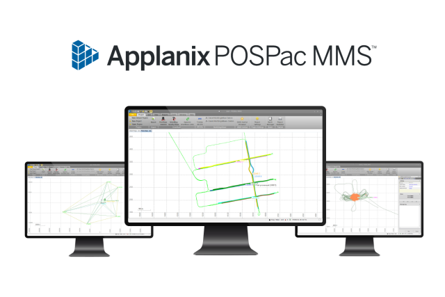

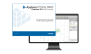
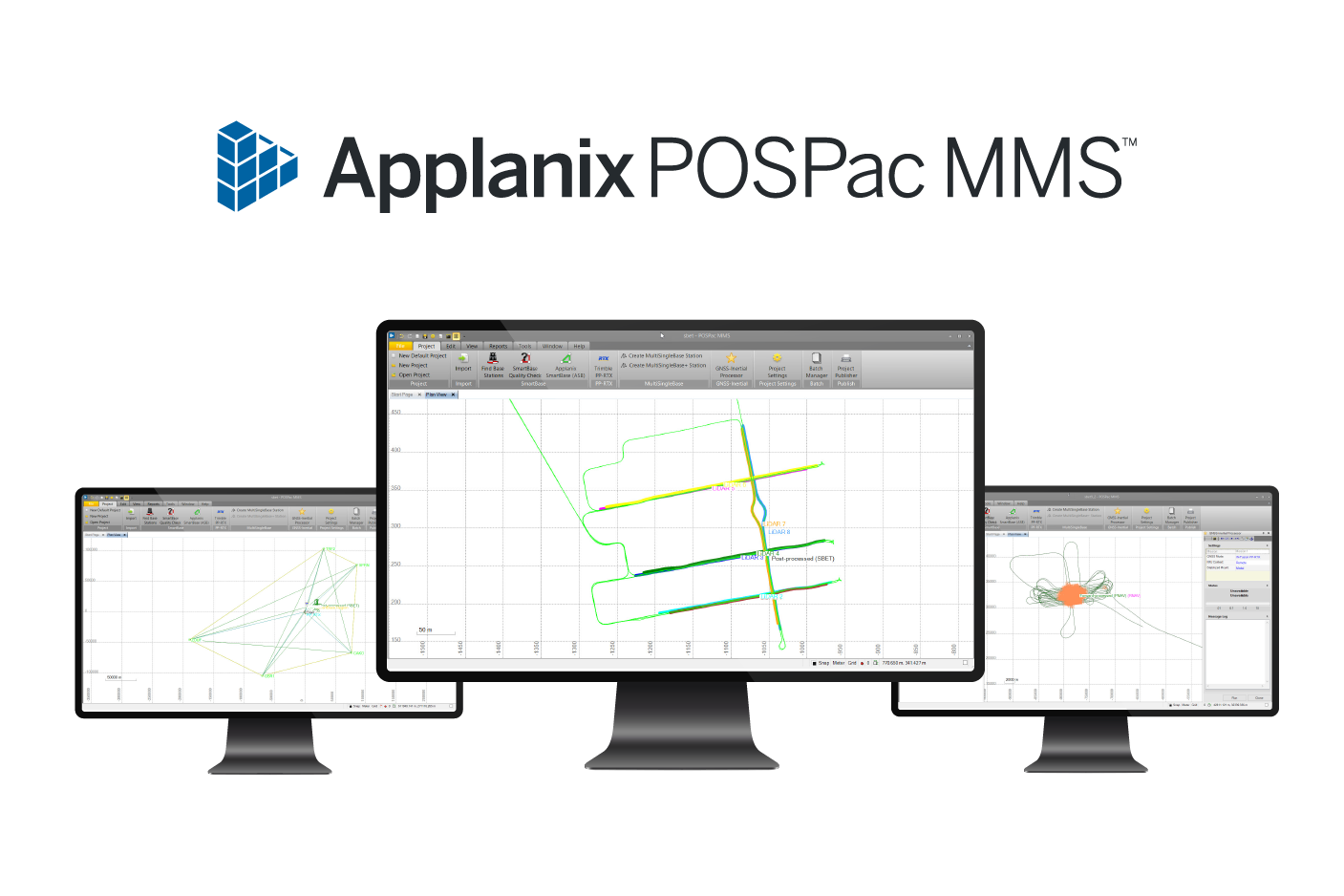
Applanix POSPac MMS
GNSS/INS Direct Georeferencing software for air, land, and marine applications
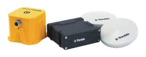
Applanix POSPac Mobile Mapping Suite, now with Trimble CenterPoint RTX, is Applanix' next generation, industry-leading software for Direct Georeferencing of mobile mapping sensors using GNSS and inertial technology. Optimized for all environments and platforms (air, land, and marine) and compatible with a variety of mapping sensors, this smart software solution achieves both maximum accuracy and maximum efficiency for Direct Georeferencing.

Trimble Applanix
Richmond Hill, CA
Description
Features:
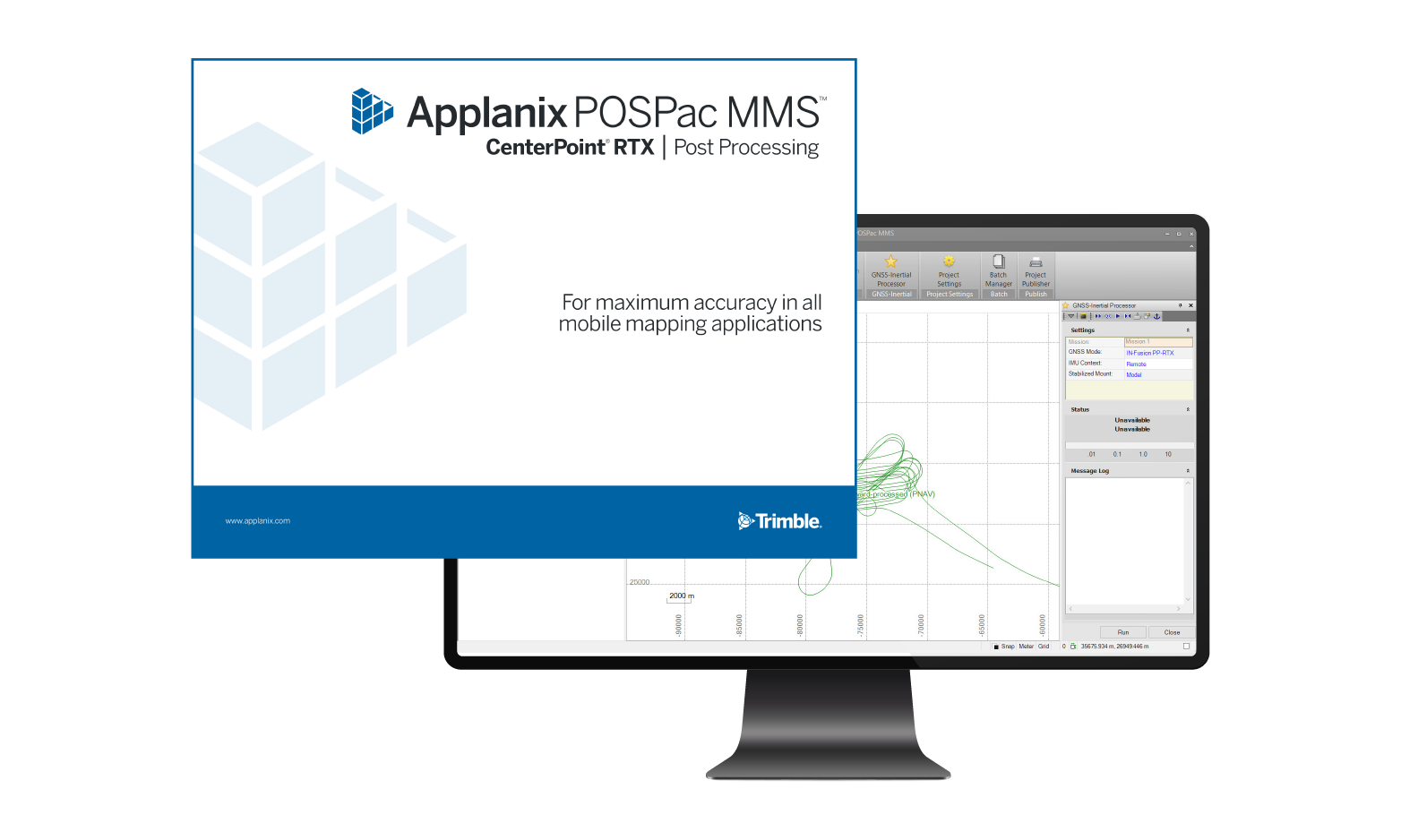
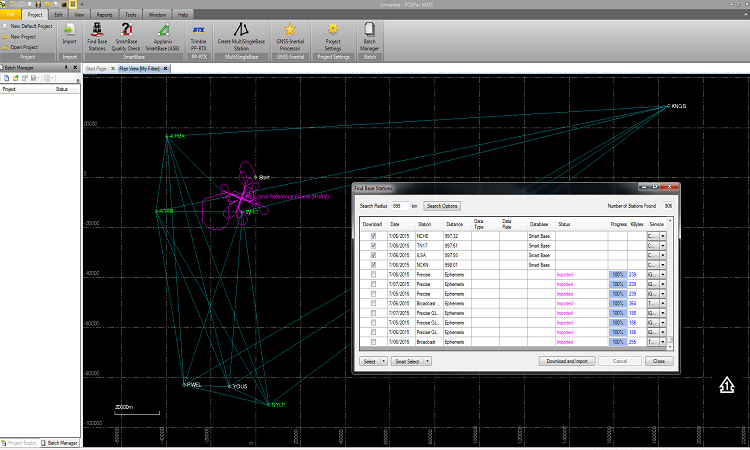
PP-RTX® (Post-Processed RTX): Process your trajectory without a base station. This service works globally within minutes after data acquisition.
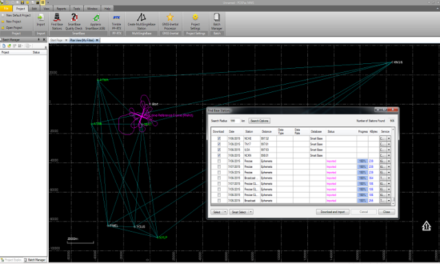
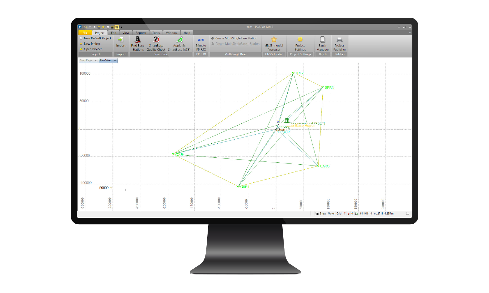
SmartBase: Process your trajectory with multiple free base stations (the database holds thousands of stations worldwide) to overcome short baseline restrictions.
Network License: Perpetual and Term License Support in the network environment. Local checkout license support for field jobs.
Survey Base Station Coordinates: Use static CenterPoint RTX® to survey in your base station coordinates.
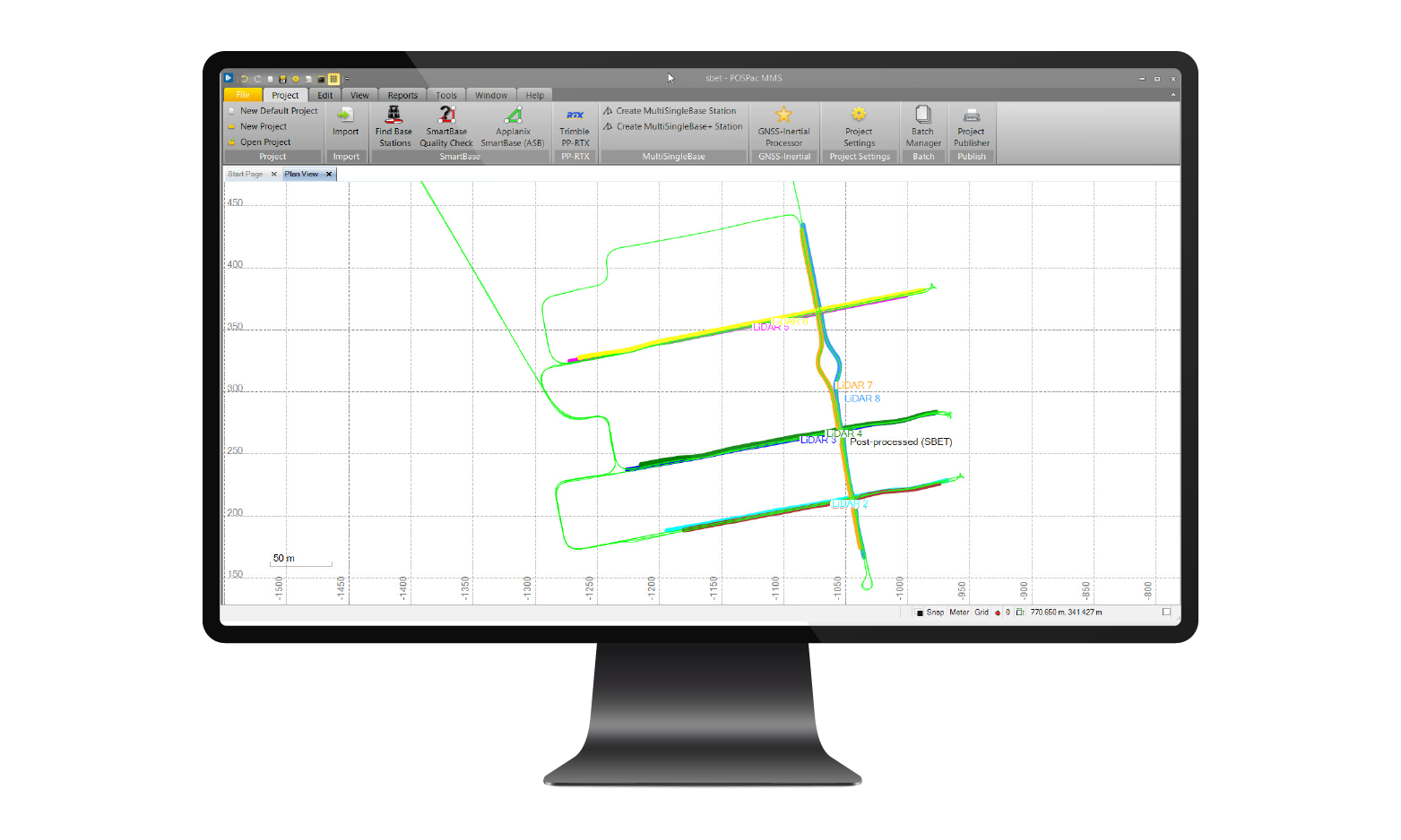
LiDAR QC: Calibrate the boresight angles of your LiDAR and adjust the trajectory based on LiDAR Data.
Camera QC: Calibrate the boresight angles of your camera and/or run quality control of your image data.
Batch Processing: Process your data in batch command line mode to automate your production.
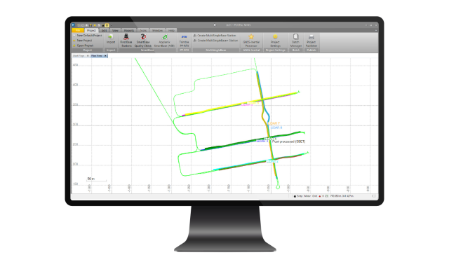
Multi-Single Base Processing: Optimized for corridor mapping projects.
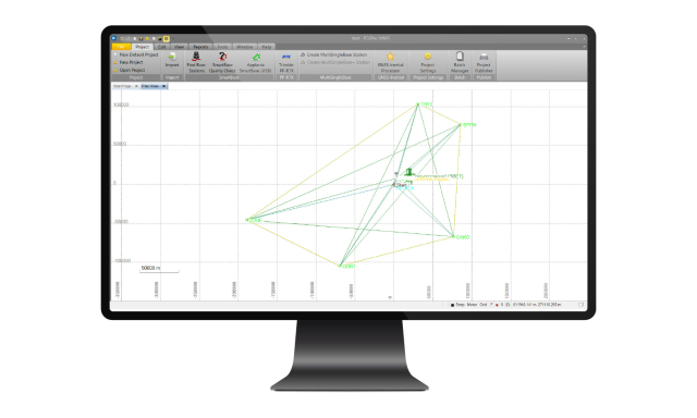
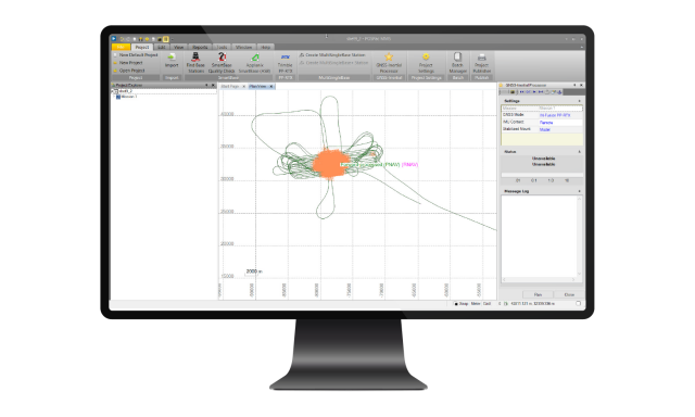
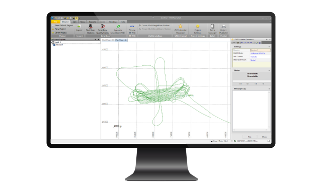
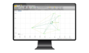
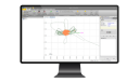
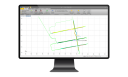
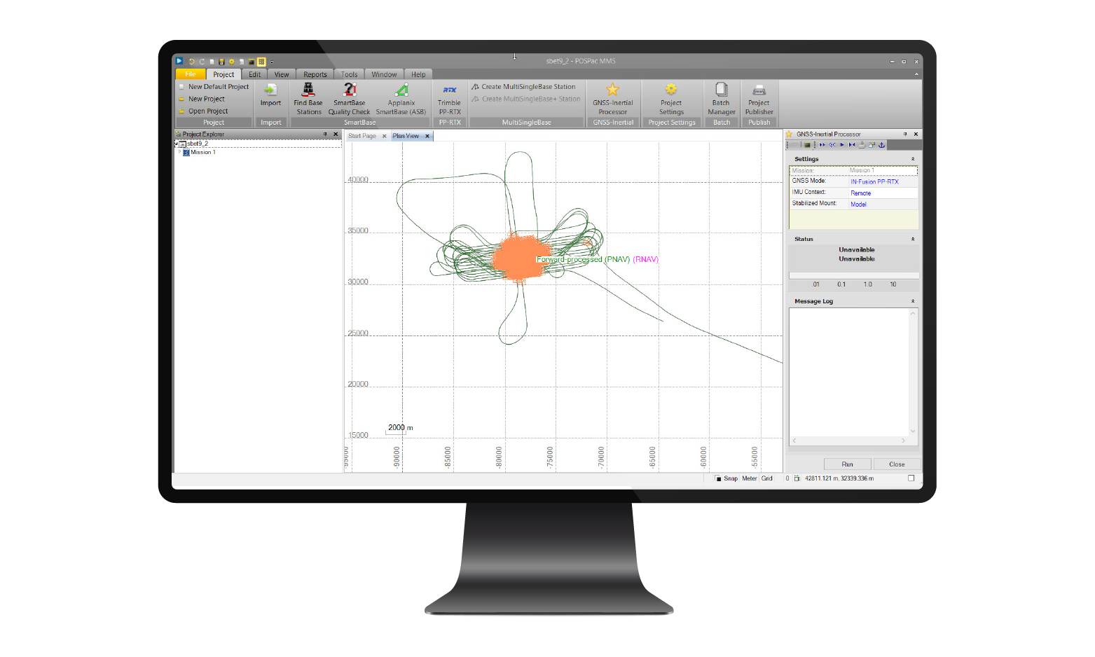
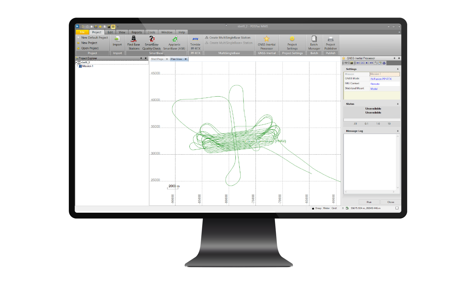
Intuitive GUI and smart Plots: Quick user learning and smart plots to evaluate results.
View Applanix POSPac MMS Site >
View Infosheet >
View Applanix IN-Fusion+ White Paper >
View Frequently Asked Questions >
Do you have questions about this product?
- Questions about price, availability, and/or retailers
- Questions about technical specifications and usage
- Questions about suitability for your project or application
Specifications
-
General
-
Source of Point Clouds
Documents
Brochure
Infosheet_POSPac-MMS.pdf


